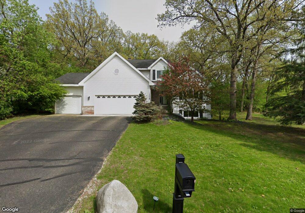
12629 Diamond Dr Burnsville, MN 55337
Estimated Value: $499,000 - $589,000
3
Beds
3
Baths
2,268
Sq Ft
$242/Sq Ft
Est. Value
About This Home
This home is located at 12629 Diamond Dr, Burnsville, MN 55337 and is currently estimated at $548,515, approximately $241 per square foot. 12629 Diamond Dr is a home located in Dakota County with nearby schools including William Byrne Elementary School, Burnsville High School, and Gateway STEM Academy.
Ownership History
Date
Name
Owned For
Owner Type
Purchase Details
Closed on
Aug 27, 2002
Sold by
Strandall Jeffrey
Bought by
Strandall Jeffrey C and Deblack Lori K
Current Estimated Value
Purchase Details
Closed on
Jul 24, 2001
Sold by
Poll Cliff and Poll Linda
Bought by
Strandell Jeffrey C
Purchase Details
Closed on
Feb 1, 1996
Sold by
Krueger Tanita F
Bought by
Poll Clifford A and Poll Linda K
Create a Home Valuation Report for This Property
The Home Valuation Report is an in-depth analysis detailing your home's value as well as a comparison with similar homes in the area
Home Values in the Area
Average Home Value in this Area
Purchase History
| Date | Buyer | Sale Price | Title Company |
|---|---|---|---|
| Strandall Jeffrey C | -- | -- | |
| Strandell Jeffrey C | $285,000 | -- | |
| Poll Clifford A | $224,000 | -- |
Source: Public Records
Tax History Compared to Growth
Tax History
| Year | Tax Paid | Tax Assessment Tax Assessment Total Assessment is a certain percentage of the fair market value that is determined by local assessors to be the total taxable value of land and additions on the property. | Land | Improvement |
|---|---|---|---|---|
| 2024 | $5,194 | $497,300 | $156,800 | $340,500 |
| 2023 | $5,194 | $493,600 | $157,000 | $336,600 |
| 2022 | $4,700 | $485,500 | $156,600 | $328,900 |
| 2021 | $4,564 | $436,400 | $145,600 | $290,800 |
| 2020 | $4,764 | $402,100 | $138,700 | $263,400 |
| 2019 | $4,759 | $404,200 | $132,100 | $272,100 |
| 2018 | $4,880 | $384,800 | $125,800 | $259,000 |
| 2017 | $4,533 | $382,900 | $119,800 | $263,100 |
| 2016 | $4,752 | $351,200 | $114,100 | $237,100 |
| 2015 | $4,517 | $347,530 | $108,985 | $238,545 |
| 2014 | -- | $345,241 | $106,947 | $238,294 |
| 2013 | -- | $322,896 | $97,338 | $225,558 |
Source: Public Records
Map
Nearby Homes
- 12640 Tiffany Ct
- 12625 Sable Dr
- 3017 Rainier Ct
- 101 Hidden Meadow Ct
- 108 Hidden Meadow Rd
- 188 River Woods Ln
- 109 Cimarron Ct
- 146 River Woods Ln
- 145 River Woods Ln
- 247 River Woods Ln
- 221 River Woods Ln
- 55 River Woods Ln
- 2708 Lassen Ct
- 72 River Woods Ln
- 319 River Woods Ln
- 12068 Gantry Ln
- 2400 E 125th St
- 2300 Villaburne Ct W
- 4774 Slater Rd
- 12044 Gantry Ln
- 12633 Diamond Dr
- 12625 Diamond Dr
- 12657 Tiffany Ct
- 12628 Diamond Dr
- 12648 Tiffany Ct
- 12623 Diamond Dr
- 12653 Tiffany Ct
- 12624 Diamond Dr
- 3408 Garnet Ct
- 12632 Diamond Dr
- 3413 Garnet Ct
- 3401 Garnet Ct
- 12620 Diamond Dr
- 12644 Tiffany Ct
- 3405 Garnet Ct
- 12700 Diamond Dr
- 3409 Garnet Ct
- 12649 Tiffany Ct
- 12705 Diamond Dr
- 3409 E Burnsville Pkwy