Estimated Value: $256,126 - $308,000
Studio
2
Baths
--
Sq Ft
94,525
Sq Ft
About This Home
This home is located at 12629 Sandi Ln, Grant, MI 49327 and is currently estimated at $285,532. 12629 Sandi Ln is a home located in Newaygo County with nearby schools including Grant Primary Center, Grant Elementary School, and Grant Middle School.
Ownership History
Date
Name
Owned For
Owner Type
Purchase Details
Closed on
Apr 27, 2005
Sold by
Emc Mortgage Corporation
Bought by
Goodin Mark
Current Estimated Value
Purchase Details
Closed on
Sep 24, 2004
Sold by
Mortgage Electronic Registration Sy
Bought by
Emc Mortgage Corp
Purchase Details
Closed on
Aug 17, 2004
Sold by
Cruz Jaime H and Cruz Rosa M
Bought by
Mortgage Electronic Registration Systems
Purchase Details
Closed on
Jun 13, 2003
Sold by
Daivs Roger Lee Et Ux-
Bought by
Cruz Jaime
Purchase Details
Closed on
Aug 24, 2000
Sold by
Davis Morris
Bought by
Davis Roger Lee Et Ux - Marlene
Create a Home Valuation Report for This Property
The Home Valuation Report is an in-depth analysis detailing your home's value as well as a comparison with similar homes in the area
Purchase History
| Date | Buyer | Sale Price | Title Company |
|---|---|---|---|
| Goodin Mark | $114,400 | -- | |
| Emc Mortgage Corp | -- | -- | |
| Mortgage Electronic Registration Systems | $105,488 | -- | |
| Cruz Jaime | $124,900 | -- | |
| Davis Roger Lee Et Ux - Marlene | -- | -- |
Source: Public Records
Tax History
| Year | Tax Paid | Tax Assessment Tax Assessment Total Assessment is a certain percentage of the fair market value that is determined by local assessors to be the total taxable value of land and additions on the property. | Land | Improvement |
|---|---|---|---|---|
| 2025 | $772 | $132,300 | $0 | $0 |
| 2024 | $8 | $123,900 | $0 | $0 |
| 2023 | $720 | $105,600 | $0 | $0 |
| 2022 | $1,636 | $97,500 | $0 | $0 |
| 2021 | $1,674 | $90,800 | $0 | $0 |
| 2020 | $1,654 | $80,600 | $0 | $0 |
| 2019 | $1,609 | $72,900 | $0 | $0 |
| 2018 | $1,671 | $63,900 | $0 | $0 |
| 2017 | $1,685 | $59,600 | $0 | $0 |
| 2016 | $1,640 | $58,800 | $0 | $0 |
| 2015 | -- | $57,600 | $0 | $0 |
| 2014 | -- | $52,800 | $0 | $0 |
Source: Public Records
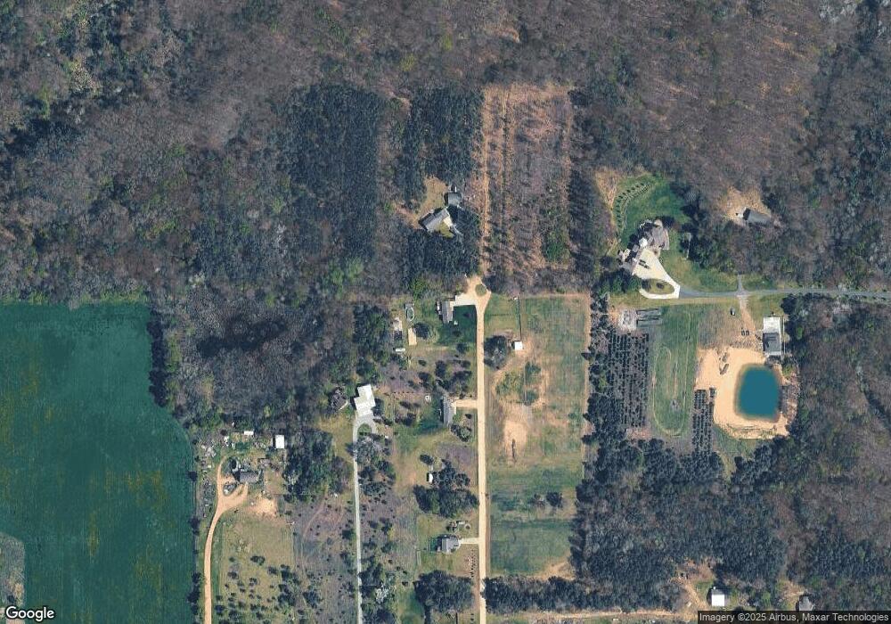
Map
Nearby Homes
- 12449 S Catalpa Ave
- 953 E 136th St
- 12712 S Elder Ave
- Lot 19 S Elder Ave
- 151 & 153 Clark St
- 140 E Commerce St
- 10201 Mason Dr
- 11298 S Gordon Ave
- 3500 Northkent Pine Dr
- 2580 22 Mile Rd NW
- 9680 S Thornapple Ave
- 17474 Connor Cir
- 1773 N Newaygo Rd
- 17090 Kenowa Ave
- 10021 S Mason Dr
- 9500 S Annie Ln
- 9310 Benjamin Dr
- 9425 S Benjamin Dr
- 0 W 112th St Unit 26006032
- 8751 Old Elm Ln
- 12597 Sandi Ln
- 12673 Sandi Ln
- 1281 E 128th St
- 12719 Sandi Ln
- 1203 E 128th St
- 12579 Walnut Ave
- 1327 E 128th St
- 1313 E 128th St
- 1463 E 128th St
- 1232 E 128th St
- 1521 E 128th St
- 12577 Walnut Ave
- 1543 E 128th St
- 12511 Walnut Ave
- 1101 E 128th St
- 1484 E 128th St
- 1585 E 128th St
- 12421 Walnut Ave
- 12817 Walnut Ave
- 12885 Walnut Ave
Your Personal Tour Guide
Ask me questions while you tour the home.