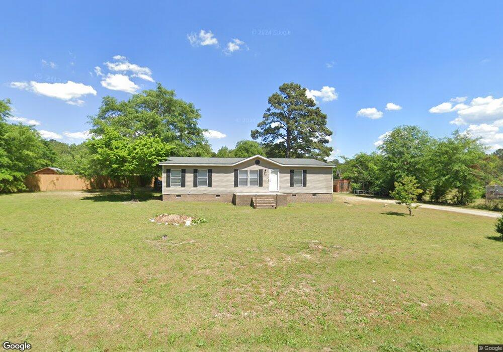
1263 Airport Rd Hamlet, NC 28345
Estimated Value: $173,852 - $256,000
--
Bed
--
Bath
1,431
Sq Ft
$148/Sq Ft
Est. Value
About This Home
This home is located at 1263 Airport Rd, Hamlet, NC 28345 and is currently estimated at $212,463, approximately $148 per square foot. 1263 Airport Rd is a home with nearby schools including Fairview Heights Elementary School, Hamlet Middle School, and Ashley Chapel Educational Center.
Ownership History
Date
Name
Owned For
Owner Type
Purchase Details
Closed on
Sep 29, 2006
Sold by
Mclver Curtis J and Mclver Jill S
Bought by
Robinson Sibyl M
Current Estimated Value
Home Financials for this Owner
Home Financials are based on the most recent Mortgage that was taken out on this home.
Original Mortgage
$49,227
Outstanding Balance
$29,407
Interest Rate
6.48%
Mortgage Type
FHA
Estimated Equity
$183,056
Create a Home Valuation Report for This Property
The Home Valuation Report is an in-depth analysis detailing your home's value as well as a comparison with similar homes in the area
Home Values in the Area
Average Home Value in this Area
Purchase History
| Date | Buyer | Sale Price | Title Company |
|---|---|---|---|
| Robinson Sibyl M | $50,000 | None Available |
Source: Public Records
Mortgage History
| Date | Status | Borrower | Loan Amount |
|---|---|---|---|
| Open | Robinson Sibyl M | $49,227 |
Source: Public Records
Tax History Compared to Growth
Tax History
| Year | Tax Paid | Tax Assessment Tax Assessment Total Assessment is a certain percentage of the fair market value that is determined by local assessors to be the total taxable value of land and additions on the property. | Land | Improvement |
|---|---|---|---|---|
| 2025 | $1,046 | $108,992 | $8,190 | $100,802 |
| 2024 | $1,067 | $108,992 | $8,190 | $100,802 |
| 2023 | $768 | $63,000 | $4,095 | $58,905 |
| 2022 | $768 | $63,000 | $4,095 | $58,905 |
| 2021 | $764 | $63,000 | $4,095 | $58,905 |
| 2020 | $760 | $63,000 | $4,095 | $58,905 |
| 2019 | $725 | $63,000 | $4,095 | $58,905 |
| 2018 | $725 | $63,000 | $4,095 | $58,905 |
| 2016 | $696 | $63,000 | $4,095 | $58,905 |
| 2014 | -- | $64,113 | $3,975 | $60,138 |
Source: Public Records
Map
Nearby Homes
- 1169 Airport Rd
- 592 Freeman Mill Rd
- 1481 Airport Rd
- 7 Cheraw
- 904 Austin St
- 0 Maple Ave
- 117 Sargent Dr
- 817 Austin St
- 107 Switch Rd
- 303 Dogwood Ln
- 00 Ellen Dr
- 212 Richmond Ave
- 409 Myrtle Ave
- 607 Henderson St
- 0 McDonald Ave
- 130 Mcarthur St
- 1100 McDonald Ave
- 228 Freeman Mill Rd
- 515 McDonald Ave
- 113 Pine St
- 1255 Airport Rd
- 1271 Airport Rd
- 1245 Airport Rd
- 1237 Airport Rd
- 1229 Airport Rd
- 1326 Airport Rd
- 1218 Airport Rd
- 1213 Airport Rd
- 1217 Airport Rd
- 1209 Airport Rd
- 1195 Airport Rd
- 160 Dusty Trail
- 176 Dusty Trail
- 1183 Airport Rd
- 557 Cheraw Hwy
- 475 Gin Mill Rd
- 808 Cheraw Rd
- 1157 Airport Rd
- 802 Cheraw Rd
- 798 Cheraw Rd
