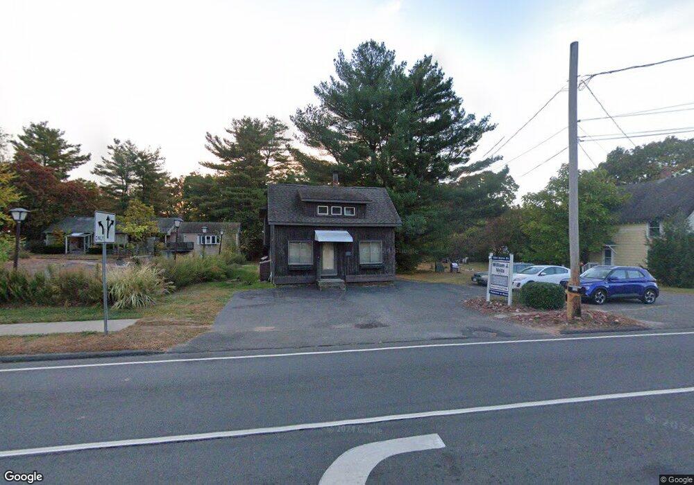
1263 Queen St Southington, CT 06489
East Southington NeighborhoodEstimated Value: $625,670
3
Beds
2
Baths
1,708
Sq Ft
$366/Sq Ft
Est. Value
About This Home
This home is located at 1263 Queen St, Southington, CT 06489 and is currently estimated at $625,670, approximately $366 per square foot. 1263 Queen St is a home located in Hartford County with nearby schools including Reuben E. Thalberg Elementary School, Joseph A. Depaolo Middle School, and Southington High School.
Ownership History
Date
Name
Owned For
Owner Type
Purchase Details
Closed on
Apr 27, 1992
Sold by
Campochiaro Edward and Campochiaro Frances
Bought by
Viets William and Viets Patricia
Current Estimated Value
Home Financials for this Owner
Home Financials are based on the most recent Mortgage that was taken out on this home.
Original Mortgage
$129,000
Interest Rate
6.13%
Mortgage Type
Commercial
Create a Home Valuation Report for This Property
The Home Valuation Report is an in-depth analysis detailing your home's value as well as a comparison with similar homes in the area
Home Values in the Area
Average Home Value in this Area
Purchase History
| Date | Buyer | Sale Price | Title Company |
|---|---|---|---|
| Viets William | $145,000 | -- |
Source: Public Records
Mortgage History
| Date | Status | Borrower | Loan Amount |
|---|---|---|---|
| Closed | Viets William | $129,000 | |
| Previous Owner | Viets William | $120,000 |
Source: Public Records
Tax History Compared to Growth
Tax History
| Year | Tax Paid | Tax Assessment Tax Assessment Total Assessment is a certain percentage of the fair market value that is determined by local assessors to be the total taxable value of land and additions on the property. | Land | Improvement |
|---|---|---|---|---|
| 2025 | $5,527 | $166,430 | $98,170 | $68,260 |
| 2024 | $5,233 | $166,430 | $98,170 | $68,260 |
| 2023 | $5,053 | $166,430 | $98,170 | $68,260 |
| 2022 | $4,848 | $166,430 | $98,170 | $68,260 |
| 2021 | $4,831 | $166,430 | $98,170 | $68,260 |
| 2020 | $4,716 | $153,970 | $93,490 | $60,480 |
| 2019 | $4,718 | $153,970 | $93,490 | $60,480 |
| 2018 | $4,693 | $153,970 | $93,490 | $60,480 |
| 2017 | $4,693 | $153,970 | $93,490 | $60,480 |
| 2016 | $4,564 | $153,970 | $93,490 | $60,480 |
| 2015 | $4,645 | $159,400 | $97,270 | $62,130 |
| 2014 | $4,521 | $159,400 | $97,270 | $62,130 |
Source: Public Records
Map
Nearby Homes
- 452 East St
- 138 Butler Ave
- 1 Brookside Dr
- 110 Rethal St
- 147 Rethal St
- 9 Pinecrest Dr
- 11 Oakwood Cir
- 16 Brookside Dr
- 4 Testa Dr
- 27 Brookside Dr
- 180 S Washington St Unit 12
- 4 Maple Rock Rd
- 15 Sunrise Terrace
- 189 Redstone Hill Rd Unit 7
- 18 Homestead Ave
- 117 Hollyberry Ln
- 21 Julia Rd
- 26 Skyline Dr
- 34 Skyline Dr
- 134 Evelyn Rd
- 1259 Queen St Unit 1
- 1257 Queen St
- 1273 Queen St
- 1273 Queen St Unit 1
- 1247 Queen St
- 482 East St Unit 9
- 482 East St Unit 8
- 482 East St Unit 7
- 482 East St Unit 6
- 482 East St Unit 5
- 482 East St Unit 4
- 482 East St Unit 3
- 482 East St Unit 24
- 482 East St Unit 23
- 482 East St Unit 22
- 482 East St Unit 21
- 482 East St Unit 20
- 482 East St Unit 2
- 482 East St Unit 19
- 482 East St Unit 18