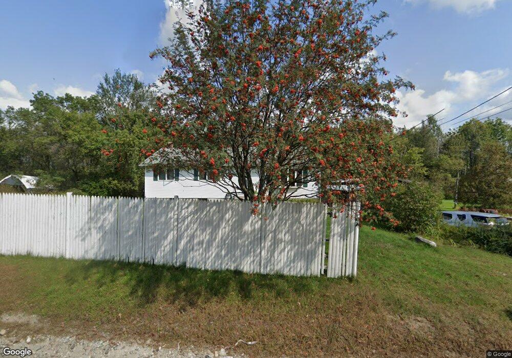
1263 Us Route 4 Canaan, NH 03741
Estimated Value: $335,000 - $404,000
4
Beds
3
Baths
1,248
Sq Ft
$290/Sq Ft
Est. Value
About This Home
This home is located at 1263 Us Route 4, Canaan, NH 03741 and is currently estimated at $361,358, approximately $289 per square foot. 1263 Us Route 4 is a home located in Grafton County with nearby schools including Canaan Elementary School, Indian River School, and Mascoma Valley Regional High School.
Ownership History
Date
Name
Owned For
Owner Type
Purchase Details
Closed on
Jan 13, 2023
Sold by
Neil S Powers Ret and Danforth
Bought by
Rao Santosh G and Conn Nicole S
Current Estimated Value
Home Financials for this Owner
Home Financials are based on the most recent Mortgage that was taken out on this home.
Original Mortgage
$234,740
Outstanding Balance
$226,827
Interest Rate
6.49%
Mortgage Type
Purchase Money Mortgage
Estimated Equity
$134,531
Purchase Details
Closed on
Jun 7, 2021
Sold by
Powers Neil S
Bought by
Neil S Powers Ret and Powers
Create a Home Valuation Report for This Property
The Home Valuation Report is an in-depth analysis detailing your home's value as well as a comparison with similar homes in the area
Home Values in the Area
Average Home Value in this Area
Purchase History
| Date | Buyer | Sale Price | Title Company |
|---|---|---|---|
| Rao Santosh G | $242,000 | None Available | |
| Neil S Powers Ret | -- | None Available |
Source: Public Records
Mortgage History
| Date | Status | Borrower | Loan Amount |
|---|---|---|---|
| Open | Rao Santosh G | $234,740 |
Source: Public Records
Tax History Compared to Growth
Tax History
| Year | Tax Paid | Tax Assessment Tax Assessment Total Assessment is a certain percentage of the fair market value that is determined by local assessors to be the total taxable value of land and additions on the property. | Land | Improvement |
|---|---|---|---|---|
| 2024 | $5,599 | $189,600 | $63,000 | $126,600 |
| 2023 | $5,148 | $189,600 | $63,000 | $126,600 |
| 2022 | $5,148 | $189,600 | $63,000 | $126,600 |
| 2021 | $5,062 | $189,600 | $63,000 | $126,600 |
| 2020 | $5,920 | $172,100 | $50,300 | $121,800 |
| 2019 | $5,667 | $172,100 | $50,300 | $121,800 |
| 2018 | $5,554 | $172,100 | $50,300 | $121,800 |
| 2017 | $5,464 | $172,100 | $50,300 | $121,800 |
| 2016 | $5,416 | $172,100 | $50,300 | $121,800 |
| 2015 | $4,486 | $148,200 | $32,600 | $115,600 |
| 2014 | $4,139 | $148,200 | $32,600 | $115,600 |
| 2013 | $3,730 | $148,200 | $32,600 | $115,600 |
Source: Public Records
Map
Nearby Homes
- 47 Nh Route 118
- 1145 Us Route 4
- 35 Canaan St
- 0 US Route 4 Unit 34 5038886
- 0 US Route 4 Unit 94
- 33 Bruce Rd
- 390 New Hampshire 118
- 242 Jerusalem Rd
- lot 9 Strawbrook Ln
- 0 Potato Rd Unit 75A
- 00 Canaan St Unit 39B
- 00 Canaan St Unit 39A
- 9 Dove Ln
- 532 Canaan St
- 613 New Hampshire 118
- 25 Rogers Way
- 41 Lunar Dr
- 27 Lunar Dr
- 21 Northwood Estates
- 00 Derush Rd Unit 2
- 1263 Us Route 4
- 1253 Us Route 4
- 1264 Us Route 4
- 13 1st St
- 1275 Us Route 4
- 13 Hooker Ln
- 0 1st St Unit 2808813
- 1246 Us Route 4
- 10 1st St
- 5 Graceville Rd
- 6 1st St
- 1282 Us Route 4
- 1233 Us Route 4
- 11 Graceville Rd
- 0 Highland St Unit 6A-1; 6A-2
- 0 Highland St
- 38 Highland Ave
- 24 Highland St
- 21 Highland Ave
- 1286 Us Route 4