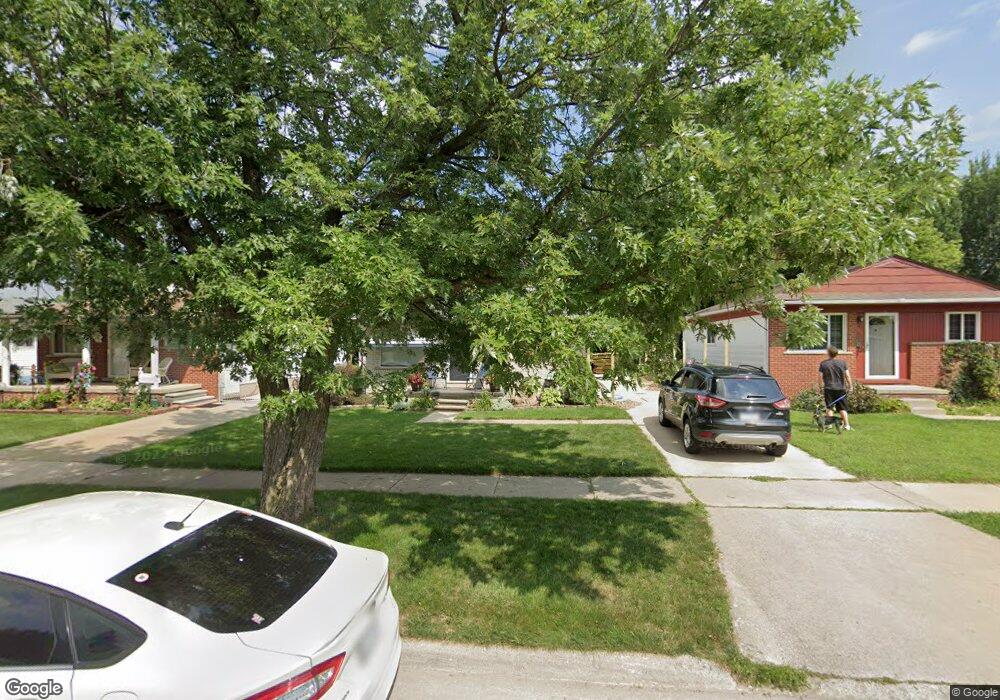
12631 Hipp St Taylor, MI 48180
Estimated Value: $164,000 - $207,000
--
Bed
--
Bath
1,000
Sq Ft
$177/Sq Ft
Est. Value
About This Home
This home is located at 12631 Hipp St, Taylor, MI 48180 and is currently estimated at $176,933, approximately $176 per square foot. 12631 Hipp St is a home located in Wayne County with nearby schools including Kinyon Elementary School, Robert J. West Middle School, and Creative Montessori Academy.
Ownership History
Date
Name
Owned For
Owner Type
Purchase Details
Closed on
Aug 4, 2017
Sold by
King Cheryl and Tibodeau Dawn
Bought by
King Kalynn Danielle
Current Estimated Value
Home Financials for this Owner
Home Financials are based on the most recent Mortgage that was taken out on this home.
Original Mortgage
$83,460
Outstanding Balance
$70,179
Interest Rate
4.25%
Mortgage Type
FHA
Estimated Equity
$106,754
Purchase Details
Closed on
Mar 18, 2016
Sold by
King Mabel L and King Ralph
Bought by
King Mabel L and King Cheryl
Create a Home Valuation Report for This Property
The Home Valuation Report is an in-depth analysis detailing your home's value as well as a comparison with similar homes in the area
Home Values in the Area
Average Home Value in this Area
Purchase History
| Date | Buyer | Sale Price | Title Company |
|---|---|---|---|
| King Kalynn Danielle | $85,000 | None Available | |
| King Mabel L | -- | Attorney |
Source: Public Records
Mortgage History
| Date | Status | Borrower | Loan Amount |
|---|---|---|---|
| Open | King Kalynn Danielle | $83,460 |
Source: Public Records
Tax History Compared to Growth
Tax History
| Year | Tax Paid | Tax Assessment Tax Assessment Total Assessment is a certain percentage of the fair market value that is determined by local assessors to be the total taxable value of land and additions on the property. | Land | Improvement |
|---|---|---|---|---|
| 2025 | $1,977 | $82,900 | $0 | $0 |
| 2024 | $1,977 | $73,900 | $0 | $0 |
| 2023 | $2,360 | $63,700 | $0 | $0 |
| 2022 | $1,886 | $57,200 | $0 | $0 |
| 2021 | $2,679 | $54,300 | $0 | $0 |
| 2020 | $2,057 | $53,000 | $0 | $0 |
| 2019 | $205,320 | $49,400 | $0 | $0 |
| 2018 | $2,307 | $47,200 | $0 | $0 |
| 2017 | $874 | $37,600 | $0 | $0 |
| 2016 | $2,531 | $36,600 | $0 | $0 |
| 2015 | $3,660 | $36,600 | $0 | $0 |
| 2013 | $3,670 | $37,500 | $0 | $0 |
| 2012 | $1,629 | $37,100 | $8,700 | $28,400 |
Source: Public Records
Map
Nearby Homes
- 12561 Hipp St
- 20650 Brest
- 12487 First Ave S
- 12391 First Ave S
- 20710 Superior Rd
- 22900 Superior St
- 14082 Jackson St
- 11199 Ziegler St
- 11187 Ziegler St
- 22151 Vinewood Blvd
- 14108 Flanders Ave
- 11348 Afton Rd
- 11354 William St
- 11222 Afton Rd
- 20091 Crisler St
- 14622 Huron St
- 10851 Lakeview Dr
- 10854 Allen Rd
- 11106 Oaklawn St
- 16685 Rudgate St