12633 Memorial Dr Unit 10 Houston, TX 77024
Tealwood/The Villages NeighborhoodEstimated Value: $203,000 - $233,000
3
Beds
2
Baths
1,287
Sq Ft
$174/Sq Ft
Est. Value
About This Home
This home is located at 12633 Memorial Dr Unit 10, Houston, TX 77024 and is currently estimated at $223,304, approximately $173 per square foot. 12633 Memorial Dr Unit 10 is a home located in Harris County with nearby schools including Frostwood Elementary School, Memorial Middle, and Memorial High School.
Ownership History
Date
Name
Owned For
Owner Type
Purchase Details
Closed on
Jul 31, 2018
Sold by
Jung Sung C and Jung Nam S
Bought by
Kim Sang Joo and Kim Hee Sook
Current Estimated Value
Home Financials for this Owner
Home Financials are based on the most recent Mortgage that was taken out on this home.
Original Mortgage
$80,000
Interest Rate
4.6%
Mortgage Type
Seller Take Back
Purchase Details
Closed on
Jul 9, 2009
Sold by
Chung Andrew K and Chung Jennifer E
Bought by
Jung Sung C and Jung Nam S
Purchase Details
Closed on
May 22, 2007
Sold by
Alkus Pamir R
Bought by
Chung Andrew K and Chung Jennifer E
Purchase Details
Closed on
May 26, 1999
Sold by
Kim Sang Rae and Kim Soon Sik
Bought by
Alkus Pamir R
Home Financials for this Owner
Home Financials are based on the most recent Mortgage that was taken out on this home.
Original Mortgage
$44,250
Interest Rate
6.91%
Create a Home Valuation Report for This Property
The Home Valuation Report is an in-depth analysis detailing your home's value as well as a comparison with similar homes in the area
Home Values in the Area
Average Home Value in this Area
Purchase History
| Date | Buyer | Sale Price | Title Company |
|---|---|---|---|
| Kim Sang Joo | -- | Fidelity National Title | |
| Jung Sung C | -- | Ameripoint Title | |
| Chung Andrew K | -- | Ameripoint Title | |
| Alkus Pamir R | -- | Fidelity National Title |
Source: Public Records
Mortgage History
| Date | Status | Borrower | Loan Amount |
|---|---|---|---|
| Closed | Kim Sang Joo | $80,000 | |
| Previous Owner | Alkus Pamir R | $44,250 |
Source: Public Records
Tax History Compared to Growth
Tax History
| Year | Tax Paid | Tax Assessment Tax Assessment Total Assessment is a certain percentage of the fair market value that is determined by local assessors to be the total taxable value of land and additions on the property. | Land | Improvement |
|---|---|---|---|---|
| 2025 | $2,658 | $212,189 | $45,568 | $166,621 |
| 2024 | $2,658 | $244,036 | $46,367 | $197,669 |
| 2023 | $2,658 | $216,149 | $41,068 | $175,081 |
| 2022 | $4,243 | $175,000 | $33,250 | $141,750 |
| 2021 | $4,028 | $204,289 | $38,815 | $165,474 |
| 2020 | $3,758 | $170,459 | $32,387 | $138,072 |
| 2019 | $4,320 | $165,000 | $35,920 | $129,080 |
| 2018 | $2,508 | $205,000 | $38,950 | $166,050 |
| 2017 | $5,363 | $205,000 | $38,950 | $166,050 |
| 2016 | $6,169 | $235,800 | $44,802 | $190,998 |
| 2015 | $2,003 | $194,444 | $36,944 | $157,500 |
| 2014 | $2,003 | $158,827 | $30,177 | $128,650 |
Source: Public Records
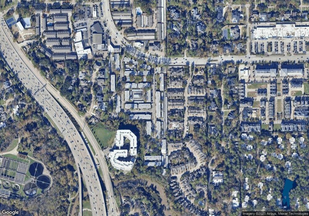
Map
Nearby Homes
- 12633 Memorial Dr Unit 177
- 12633 Memorial Dr Unit 74
- 12633 Memorial Dr Unit 51
- 12633 Memorial Dr Unit 216
- 12633 Memorial Dr Unit 14
- 12633 Memorial Dr Unit 83
- 12633 Memorial Dr Unit 250
- 12633 Memorial Dr Unit 236
- 12633 Memorial Dr Unit 72
- 12633 Memorial Dr Unit 170
- 12625 Memorial Dr Unit 130
- 12625 Memorial Dr Unit 17
- 12625 Memorial Dr Unit 180
- 12625 Memorial Dr Unit 4
- 12625 Memorial Dr Unit 87
- 12625 Memorial Dr Unit 11
- 10 Legend Ln
- 216 Morningside Park St
- 212 Morningside Park St
- 152 Litchfield Ln
- 12633 Memorial Dr Unit 65
- 12633 Memorial Dr Unit 208
- 12633 Memorial Dr Unit 11
- 12633 Memorial Dr Unit 11
- 12633 Memorial Dr Unit 10
- 12633 Memorial Dr Unit 10
- 12633 Memorial Dr Unit 10
- 12633 Memorial Dr Unit 10
- 12633 Memorial Dr Unit 10
- 12633 Memorial Dr Unit 9
- 12633 Memorial Dr Unit 9
- 12633 Memorial Dr Unit 9
- 12633 Memorial Dr Unit 9
- 12633 Memorial Dr Unit 9
- 12633 Memorial Dr Unit 9
- 12633 Memorial Dr Unit 8
- 12633 Memorial Dr Unit 8
- 12633 Memorial Dr Unit 8
- 12633 Memorial Dr Unit 8
- 12633 Memorial Dr Unit 8