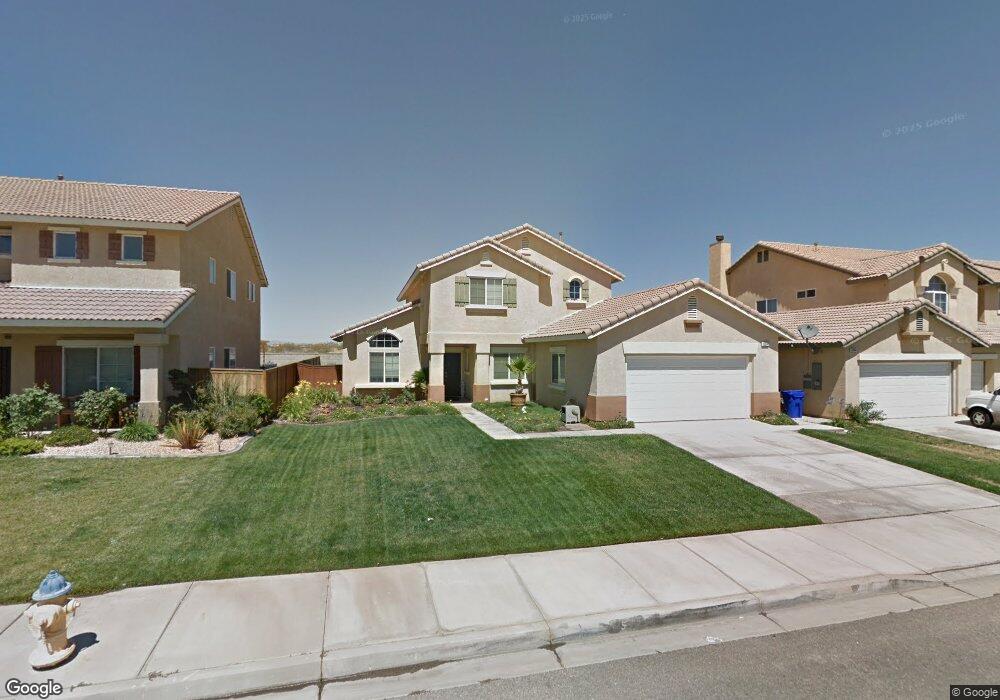
12634 Westway Victorville, CA 92392
Mesa Linda NeighborhoodEstimated Value: $474,956 - $620,000
5
Beds
3
Baths
2,515
Sq Ft
$207/Sq Ft
Est. Value
About This Home
This home is located at 12634 Westway, Victorville, CA 92392 and is currently estimated at $519,739, approximately $206 per square foot. 12634 Westway is a home located in San Bernardino County with nearby schools including Eagle Ranch Elementary School, Silverado High School, and Mojave River Academy - Oro Grande.
Ownership History
Date
Name
Owned For
Owner Type
Purchase Details
Closed on
Apr 21, 2004
Sold by
Eagle Ranch Residential Llc
Bought by
Maryo David T and Maryo Cynthia J
Current Estimated Value
Home Financials for this Owner
Home Financials are based on the most recent Mortgage that was taken out on this home.
Original Mortgage
$192,582
Outstanding Balance
$89,614
Interest Rate
5.5%
Mortgage Type
Purchase Money Mortgage
Estimated Equity
$430,125
Create a Home Valuation Report for This Property
The Home Valuation Report is an in-depth analysis detailing your home's value as well as a comparison with similar homes in the area
Home Values in the Area
Average Home Value in this Area
Purchase History
| Date | Buyer | Sale Price | Title Company |
|---|---|---|---|
| Maryo David T | $241,000 | Orange Coast Title Company |
Source: Public Records
Mortgage History
| Date | Status | Borrower | Loan Amount |
|---|---|---|---|
| Open | Maryo David T | $192,582 | |
| Closed | Maryo David T | $24,000 |
Source: Public Records
Tax History Compared to Growth
Tax History
| Year | Tax Paid | Tax Assessment Tax Assessment Total Assessment is a certain percentage of the fair market value that is determined by local assessors to be the total taxable value of land and additions on the property. | Land | Improvement |
|---|---|---|---|---|
| 2025 | $4,216 | $342,268 | $42,654 | $299,614 |
| 2024 | $4,216 | $335,557 | $41,818 | $293,739 |
| 2023 | $4,174 | $328,977 | $40,998 | $287,979 |
| 2022 | $4,113 | $322,526 | $40,194 | $282,332 |
| 2021 | $4,339 | $316,202 | $39,406 | $276,796 |
| 2020 | $4,119 | $300,700 | $59,700 | $241,000 |
| 2019 | $4,062 | $292,000 | $58,000 | $234,000 |
| 2018 | $3,965 | $275,900 | $55,400 | $220,500 |
| 2017 | $3,700 | $256,600 | $51,500 | $205,100 |
| 2016 | $3,316 | $237,600 | $47,700 | $189,900 |
| 2015 | $3,169 | $219,000 | $44,000 | $175,000 |
| 2014 | $2,751 | $182,900 | $36,800 | $146,100 |
Source: Public Records
Map
Nearby Homes
- 0 395 Hwy Unit HD24067189
- 0 395 Hwy Unit 542190
- 0 Hwy 395 Unit HD24040654
- 12766 Brookdale St
- 12776 Berrydale St
- 0 Highway 395 Unit CV24228214
- 0 Highway 395 Unit HD25120289
- 0 Highway 395 Unit HD25171127
- 12413 Redrock Rd
- 12312 Atoka Ln
- 0 Cantina Dr Unit OC25239997
- 12451 Antelope Dr
- 11952 Olivine Rd
- 12544 Sunbird Ln
- 12373 Albatross St
- 12477 Redrock Ct
- 12960 Leawood St
- 0 U S 395
- 0 Three Flags Hwy
- 0 Eagle Ranch Pkwy
- 12644 Westway
- 12624 Westway
- 12656 Westway
- 12614 Westway
- 12637 Westway
- 12627 Westway
- 12647 Westway
- 12604 Westway
- 12668 Westway
- 12617 Westway
- 12659 Westway
- 12609 Westway
- 12594 Westway
- 12671 Westway
- 12638 Table Rock Ln
- 12628 Table Rock Ln
- 12678 Westway
- 12648 Table Rock Ln
- 12618 Table Rock Ln
- 12599 Westway