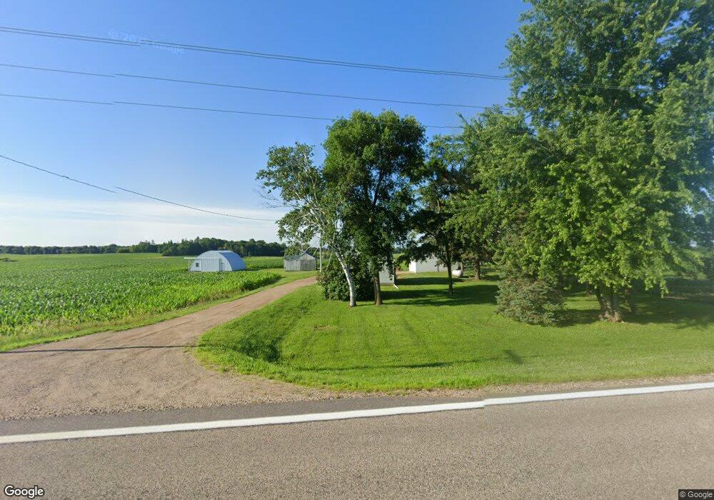
12639 County Road 37 NW Annandale, MN 55302
Estimated Value: $396,000 - $507,000
2
Beds
1
Bath
432
Sq Ft
$1,003/Sq Ft
Est. Value
About This Home
This home is located at 12639 County Road 37 NW, Annandale, MN 55302 and is currently estimated at $433,267, approximately $1,002 per square foot. 12639 County Road 37 NW is a home with nearby schools including Annandale Elementary School, Annandale Middle School, and Annandale Senior High School.
Ownership History
Date
Name
Owned For
Owner Type
Purchase Details
Closed on
Sep 7, 2023
Sold by
Lantto Kenneth and Lantto Frank
Bought by
Oakwood Company Llc
Current Estimated Value
Home Financials for this Owner
Home Financials are based on the most recent Mortgage that was taken out on this home.
Original Mortgage
$350,000
Outstanding Balance
$342,366
Interest Rate
6.81%
Mortgage Type
New Conventional
Estimated Equity
$90,901
Create a Home Valuation Report for This Property
The Home Valuation Report is an in-depth analysis detailing your home's value as well as a comparison with similar homes in the area
Home Values in the Area
Average Home Value in this Area
Purchase History
| Date | Buyer | Sale Price | Title Company |
|---|---|---|---|
| Oakwood Company Llc | $350,000 | -- |
Source: Public Records
Mortgage History
| Date | Status | Borrower | Loan Amount |
|---|---|---|---|
| Open | Oakwood Company Llc | $350,000 |
Source: Public Records
Tax History Compared to Growth
Tax History
| Year | Tax Paid | Tax Assessment Tax Assessment Total Assessment is a certain percentage of the fair market value that is determined by local assessors to be the total taxable value of land and additions on the property. | Land | Improvement |
|---|---|---|---|---|
| 2025 | $1,186 | $369,600 | $314,000 | $55,600 |
| 2024 | $1,386 | $323,100 | $287,900 | $35,200 |
| 2023 | $1,188 | $429,200 | $371,300 | $57,900 |
| 2022 | $1,334 | $301,800 | $251,400 | $50,400 |
| 2021 | $1,282 | $278,800 | $234,000 | $44,800 |
| 2020 | $1,370 | $241,800 | $200,800 | $41,000 |
| 2019 | $1,278 | $147,800 | $0 | $0 |
| 2018 | $1,180 | $80,500 | $0 | $0 |
| 2017 | $1,136 | $215,200 | $0 | $0 |
| 2016 | $1,134 | $0 | $0 | $0 |
| 2015 | $1,114 | $0 | $0 | $0 |
| 2014 | -- | $0 | $0 | $0 |
Source: Public Records
Map
Nearby Homes
- 3990 Moore Ave NW
- 1794 Lawrence Cir NW
- 12814 County Road 35 W
- 3665 Pleason Ave NW
- 945 Acacia Cir S
- 844 Beech Ln S
- 750 Morrison Ave S
- 800 Morrison Ave NW
- 345 County Highway 4 SW
- 810 Morrison Ave NW
- 431 County Highway 4 SW
- 520 Douglas Dr S
- 451 Valley Dr W
- 431 Valley Dr W
- 510 Douglas Dr S
- 681 Irwin Cir
- 511 Douglas Dr S
- 440 Valley Dr W
- 6070 Pilger Ave NW
- Olson Plan at Triplett Farms
- 12712 County Road 37 NW
- 12782 County Road 37 NW
- 3536 Moore Ave NW
- 12384 County Road 37 NW
- 12965 County Road 37 NW
- 2998 Morrison Ave NW
- 3649 Moore Ave NW
- 3828 Moore Ave NW
- xxxx County Road 37
- xxx Cty Rd 37 NW
- XXX County Road 37 NW
- 12067 County Road 37 NW
- 13270 County Road 37 NW
- 2593 Morrison Ave NW
- 2983 Mitchell Ave NW
- 2983 NW Mitchell Ave NW
- 2943 Mitchell Ave NW
- 2963 Mitchell Ave NW
- 3128 Mitchell Ave NW
- 3863 Moore Ave NW