12639 Highway 550 Durango, CO 81303
Estimated Value: $592,000 - $1,513,000
3
Beds
2
Baths
1,794
Sq Ft
$487/Sq Ft
Est. Value
About This Home
This home is located at 12639 Highway 550, Durango, CO 81303 and is currently estimated at $873,998, approximately $487 per square foot. 12639 Highway 550 is a home located in La Plata County with nearby schools including Sunnyside Elementary School, Escalante Middle School, and Durango High School.
Ownership History
Date
Name
Owned For
Owner Type
Purchase Details
Closed on
May 7, 2009
Sold by
Schneider Lynn
Bought by
Snowcap Sod Farm Llc
Current Estimated Value
Purchase Details
Closed on
Jan 8, 2008
Sold by
John R Bemenderfer Living Trust
Bought by
Anderson Ronald C
Home Financials for this Owner
Home Financials are based on the most recent Mortgage that was taken out on this home.
Original Mortgage
$370,000
Interest Rate
6%
Mortgage Type
Purchase Money Mortgage
Create a Home Valuation Report for This Property
The Home Valuation Report is an in-depth analysis detailing your home's value as well as a comparison with similar homes in the area
Home Values in the Area
Average Home Value in this Area
Purchase History
| Date | Buyer | Sale Price | Title Company |
|---|---|---|---|
| Snowcap Sod Farm Llc | $640,000 | Colorado Land Title Co | |
| Anderson Ronald C | $870,000 | Colorado Land Title Co |
Source: Public Records
Mortgage History
| Date | Status | Borrower | Loan Amount |
|---|---|---|---|
| Previous Owner | Anderson Ronald C | $370,000 |
Source: Public Records
Tax History Compared to Growth
Tax History
| Year | Tax Paid | Tax Assessment Tax Assessment Total Assessment is a certain percentage of the fair market value that is determined by local assessors to be the total taxable value of land and additions on the property. | Land | Improvement |
|---|---|---|---|---|
| 2025 | $2,196 | $34,810 | $4,890 | $29,920 |
| 2024 | $2,015 | $25,520 | $4,900 | $20,620 |
| 2023 | $2,015 | $28,400 | $4,900 | $23,500 |
| 2022 | $2,156 | $30,000 | $4,900 | $25,100 |
| 2021 | $2,186 | $28,570 | $5,960 | $22,610 |
| 2020 | $2,103 | $27,100 | $5,770 | $21,330 |
| 2019 | $2,021 | $27,100 | $5,770 | $21,330 |
| 2018 | $2,055 | $27,120 | $6,650 | $20,470 |
| 2017 | $2,040 | $27,290 | $6,650 | $20,640 |
| 2016 | $1,867 | $25,380 | $4,200 | $21,180 |
Source: Public Records
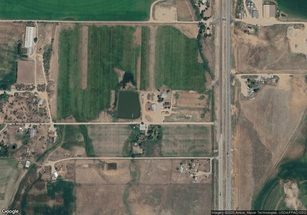
Map
Nearby Homes
- Lot 17 Entrada Del Sol
- 942 Rainbow Rd
- 194 Mesa Encantada
- 80 Mesa Encantada
- 818 Rainbow Rd
- 4428 County Road 302
- 4153 Sunrise Blvd
- 2557 County Road 301
- 413 Sunrise Blvd
- 347 Sunrise Blvd
- TBD Airpark Dr
- 225 Sunrise Blvd
- 79 Cedar Cir
- 239 Hawks View Dr
- TBD S Hwy 550
- 26918 U S 160
- 660 County Road 301
- 1270 Escalante Dr
- 3605 Cr 307
- 1140 Carbon Jct Unit 42
- 354 12 Mile Rd
- 12607 Highway 550
- 12793 Highway 550
- 12505 Highway 550
- 12698 S Highway 550
- 12698 Highway 550
- 12867 Highway 550
- 307 12 Mile Rd
- 12535 Highway 550
- 12929 Highway 550
- 345 12 Mile Rd
- 12931 Highway 550
- 12629 Highway 550
- 12357 Highway 550
- 12389 Highway 550
- 12283 Highway 550
- 391 12 Mile Rd
- 0 12 Mile Rd Unit 708227
- 12951 Highway 550
- 12251 Highway 550