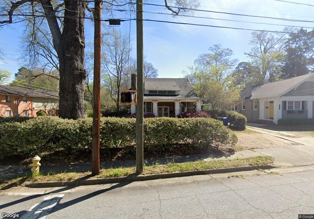
1264 Forest Ave Columbus, GA 31906
Wynnton Village NeighborhoodEstimated Value: $153,000 - $236,000
3
Beds
3
Baths
1,313
Sq Ft
$150/Sq Ft
Est. Value
About This Home
This home is located at 1264 Forest Ave, Columbus, GA 31906 and is currently estimated at $197,321, approximately $150 per square foot. 1264 Forest Ave is a home located in Muscogee County with nearby schools including Richards Middle School, Hardaway High School, and Wynnton Elementary School.
Ownership History
Date
Name
Owned For
Owner Type
Purchase Details
Closed on
Feb 25, 2025
Sold by
Curry Russell Allen
Bought by
Curry Martha Jacquelynn and Curry Martha M
Current Estimated Value
Create a Home Valuation Report for This Property
The Home Valuation Report is an in-depth analysis detailing your home's value as well as a comparison with similar homes in the area
Home Values in the Area
Average Home Value in this Area
Purchase History
| Date | Buyer | Sale Price | Title Company |
|---|---|---|---|
| Curry Martha Jacquelynn | -- | None Listed On Document | |
| Curry Martha Jacquelynn | -- | None Listed On Document |
Source: Public Records
Tax History
| Year | Tax Paid | Tax Assessment Tax Assessment Total Assessment is a certain percentage of the fair market value that is determined by local assessors to be the total taxable value of land and additions on the property. | Land | Improvement |
|---|---|---|---|---|
| 2025 | $1,965 | $81,616 | $17,140 | $64,476 |
| 2024 | $196 | $81,616 | $17,140 | $64,476 |
| 2023 | $1,282 | $81,616 | $17,140 | $64,476 |
| 2022 | $2,048 | $62,376 | $17,140 | $45,236 |
| 2021 | $2,041 | $63,376 | $17,140 | $46,236 |
| 2020 | $2,042 | $63,376 | $17,140 | $46,236 |
| 2019 | $2,050 | $63,376 | $17,140 | $46,236 |
| 2018 | $2,050 | $63,376 | $17,140 | $46,236 |
| 2017 | $2,605 | $63,376 | $17,140 | $46,236 |
| 2016 | $1,504 | $36,467 | $4,056 | $32,411 |
| 2015 | $1,506 | $36,467 | $4,056 | $32,411 |
| 2014 | $1,508 | $36,467 | $4,056 | $32,411 |
| 2013 | -- | $36,467 | $4,056 | $32,411 |
Source: Public Records
Map
Nearby Homes
- 1258 Forest Ave
- 2216 13th St
- 2217 13th St Unit SI ID1043613P
- 2217 13th St Unit SI ID1043597P
- 2217 13th St Unit SI ID1043598P
- 2217 13th St Unit ID1043598P
- 2217 13th St Unit ID1043613P
- 2217 13th St Unit ID1043597P
- 2217 13th St
- 1305 Forest Ave Unit 14
- 1305 Forest Ave
- 1305 Forest Ave Unit 15
- 1305 Forest Ave Unit 13
- 1305 Forest Ave Unit 10
- 1305 Forest Ave Unit 9
- 1305 Forest Ave Unit 12
- 2222 13th St
- 2221 13th St
- 1263 Forest Ave
- 1301 Forest Ave Unit 7
Your Personal Tour Guide
Ask me questions while you tour the home.