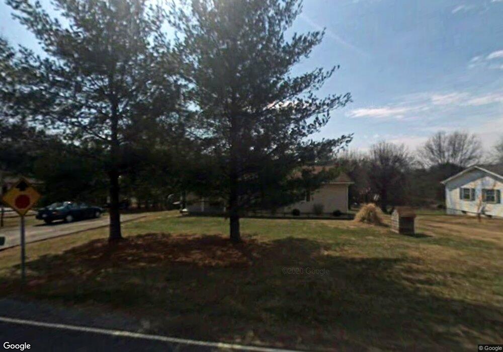
1264 Reeves Mill Rd Mount Airy, NC 27030
Estimated Value: $210,873 - $242,000
3
Beds
2
Baths
1,262
Sq Ft
$179/Sq Ft
Est. Value
About This Home
This home is located at 1264 Reeves Mill Rd, Mount Airy, NC 27030 and is currently estimated at $225,468, approximately $178 per square foot. 1264 Reeves Mill Rd is a home located in Surry County with nearby schools including Westfield Elementary School, Pilot Mountain Middle School, and East Surry High School.
Ownership History
Date
Name
Owned For
Owner Type
Purchase Details
Closed on
Jul 30, 2013
Sold by
Norman David and Nichols Kimberly
Bought by
Norman David and Norman Kimberly
Current Estimated Value
Home Financials for this Owner
Home Financials are based on the most recent Mortgage that was taken out on this home.
Original Mortgage
$58,600
Interest Rate
3.96%
Mortgage Type
New Conventional
Create a Home Valuation Report for This Property
The Home Valuation Report is an in-depth analysis detailing your home's value as well as a comparison with similar homes in the area
Home Values in the Area
Average Home Value in this Area
Purchase History
| Date | Buyer | Sale Price | Title Company |
|---|---|---|---|
| Norman David | -- | None Available |
Source: Public Records
Mortgage History
| Date | Status | Borrower | Loan Amount |
|---|---|---|---|
| Closed | Norman David | $58,600 |
Source: Public Records
Tax History Compared to Growth
Tax History
| Year | Tax Paid | Tax Assessment Tax Assessment Total Assessment is a certain percentage of the fair market value that is determined by local assessors to be the total taxable value of land and additions on the property. | Land | Improvement |
|---|---|---|---|---|
| 2025 | $848 | $137,180 | $13,000 | $124,180 |
| 2024 | $756 | $114,120 | $13,000 | $101,120 |
| 2023 | $576 | $104,300 | $13,000 | $91,300 |
| 2022 | $682 | $104,030 | $13,000 | $91,030 |
| 2021 | $694 | $104,030 | $13,000 | $91,030 |
| 2020 | $688 | $99,400 | $13,000 | $86,400 |
| 2019 | $685 | $99,400 | $0 | $0 |
| 2018 | $683 | $99,400 | $0 | $0 |
| 2017 | $651 | $94,550 | $0 | $0 |
| 2016 | $651 | $94,550 | $0 | $0 |
| 2013 | -- | $92,540 | $0 | $0 |
Source: Public Records
Map
Nearby Homes
- 201 Circle View Rd
- 177 Janice Dr
- 208 Holly Ave
- 278 Old Us Highway 52
- 200 Englewood Trail
- Lot 5 Howell Rd
- 0 Chestnut Ridge Rd
- 446 Gilley Rd
- 731 Indian Grove Church Rd
- 2384 Westfield Rd
- 2326 Westfield Rd
- 366 Sheep Farm Rd
- xx Gilley Rd Unit 20.63 acres
- 115 Stout Ln
- 00 S Andy Griffith Pkwy
- TBD S Andy Griffith Pkwy
- Tbd Farmbrook Rd
- 181 Fox Walk Ln
- 01 Farmbrook Rd
- 000000 Farmbrook Rd
- 1274 Reeves Mill Rd
- 1252 Reeves Mill Rd
- 1242 Reeves Mill Rd
- 1242 Reeves Mill Rd
- 1265 Reeves Mill Rd
- 1296 Reeves Mill Rd
- 1273 Reeves Mill Rd
- 1257 Reeves Mill Rd
- 859 Holly Springs Rd
- 1281 Reeves Mill Rd
- 1230 Reeves Mill Rd
- 1295 Reeves Mill Rd
- 1247 Reeves Mill Rd
- 1235 Reeves Mill Rd
- 1216 Reeves Mill Rd
- 847 Holly Springs Rd
- 867 Holly Springs Rd
- 1227 Reeves Mill Rd
- 1206 Reeves Mill Rd
- 1241 Reeves Mill Rd