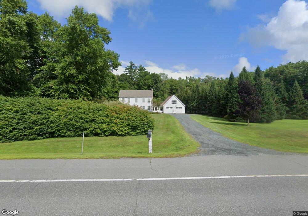
1264 Route 12a Plainfield, NH 03781
Estimated Value: $671,000 - $779,000
3
Beds
3
Baths
3,191
Sq Ft
$223/Sq Ft
Est. Value
About This Home
This home is located at 1264 Route 12a, Plainfield, NH 03781 and is currently estimated at $710,361, approximately $222 per square foot. 1264 Route 12a is a home located in Sullivan County with nearby schools including Plainfield Elementary School, Lebanon High School, and Estabrook Christian School.
Ownership History
Date
Name
Owned For
Owner Type
Purchase Details
Closed on
Oct 16, 2023
Sold by
Longacre Joshua J and Longacre Meghan R
Bought by
Porter Ian M and Porter Sarah
Current Estimated Value
Home Financials for this Owner
Home Financials are based on the most recent Mortgage that was taken out on this home.
Original Mortgage
$650,790
Outstanding Balance
$638,137
Interest Rate
7.18%
Mortgage Type
FHA
Estimated Equity
$72,224
Create a Home Valuation Report for This Property
The Home Valuation Report is an in-depth analysis detailing your home's value as well as a comparison with similar homes in the area
Home Values in the Area
Average Home Value in this Area
Purchase History
| Date | Buyer | Sale Price | Title Company |
|---|---|---|---|
| Porter Ian M | $630,000 | None Available |
Source: Public Records
Mortgage History
| Date | Status | Borrower | Loan Amount |
|---|---|---|---|
| Open | Porter Ian M | $650,790 |
Source: Public Records
Tax History Compared to Growth
Tax History
| Year | Tax Paid | Tax Assessment Tax Assessment Total Assessment is a certain percentage of the fair market value that is determined by local assessors to be the total taxable value of land and additions on the property. | Land | Improvement |
|---|---|---|---|---|
| 2023 | $10,042 | $637,600 | $136,400 | $501,200 |
| 2022 | $9,188 | $369,000 | $72,200 | $296,800 |
| 2021 | $9,797 | $369,000 | $72,200 | $296,800 |
| 2020 | $9,373 | $369,000 | $72,200 | $296,800 |
| 2019 | $9,594 | $369,000 | $72,200 | $296,800 |
| 2018 | $9,926 | $369,000 | $72,200 | $296,800 |
| 2017 | $9,421 | $333,500 | $67,600 | $265,900 |
| 2016 | $9,455 | $333,500 | $67,600 | $265,900 |
| 2015 | $9,088 | $333,500 | $67,600 | $265,900 |
| 2014 | $9,171 | $333,500 | $67,600 | $265,900 |
| 2013 | $9,171 | $333,500 | $67,600 | $265,900 |
Source: Public Records
Map
Nearby Homes
- 1118 New Hampshire 12a
- 0 Freeman Rd Unit 22
- 1507 Route 12a
- 16 Nh Route 12a
- 161 Saint Gaudens Rd
- 6 Blodgett Ln
- 846 New Hampshire 12a
- 10 Bischoff Ln
- 58 Morningside Dr
- 14 Summarsell Dr Unit 16
- 56 Mount Hunger Rd
- 89 Route 12
- 1041 Stage Rd
- 00 Nh Route 12a Unit 7
- 3 MacE Hill Rd
- 70-74 State St
- 149 Old County Rd
- 3361 County Rd
- 2545 County Rd
- 68 Jarvis St Unit 70
- 1264 New Hampshire 12a
- 1274 Route 12a
- 1246 Route 12a
- 1306 Route 12a
- 1227 Route 12a
- 1308 Route 12a
- 1305 Route 12a
- 1311 Route 12a
- 1310 Route 12a
- 1216 Route 12a
- 1216 Route 12a
- 1211 Route 12a
- 10 Spruce Park Dr
- 19 Spruce Park Dr
- 27 Spruce Park Dr
- 29 Spruce Park Dr
- 30 Spruce Park Dr
- 24 Spruce Park Dr
- 7 Spruce Park Dr
- 10 Spruce Park Dr