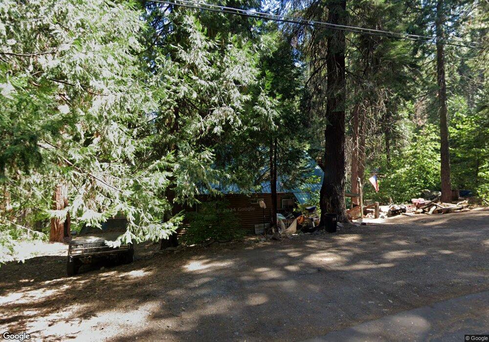
1264 Shady Cir Arnold, CA 95223
Estimated Value: $335,839 - $441,000
2
Beds
1
Bath
1,872
Sq Ft
$204/Sq Ft
Est. Value
About This Home
This home is located at 1264 Shady Cir, Arnold, CA 95223 and is currently estimated at $381,960, approximately $204 per square foot. 1264 Shady Cir is a home with nearby schools including Bret Harte Union High School.
Ownership History
Date
Name
Owned For
Owner Type
Purchase Details
Closed on
Nov 10, 2020
Sold by
Hoxie Philip R and Hoxie Paula A
Bought by
Klein Cari S
Current Estimated Value
Home Financials for this Owner
Home Financials are based on the most recent Mortgage that was taken out on this home.
Original Mortgage
$169,000
Outstanding Balance
$150,386
Interest Rate
2.8%
Mortgage Type
Commercial
Estimated Equity
$231,574
Purchase Details
Closed on
Sep 26, 2018
Sold by
Redwood Trust Deed Services Inc
Bought by
Hoxie Phillip R and Hoxie Paula A
Purchase Details
Closed on
Dec 9, 2010
Sold by
Fullerton Toni
Bought by
Fullerton Wendel
Purchase Details
Closed on
Feb 18, 2003
Sold by
Hoxie Phillip R and Hoxie Paula A
Bought by
Fullerton Wendel and Fullerton Toni
Home Financials for this Owner
Home Financials are based on the most recent Mortgage that was taken out on this home.
Original Mortgage
$100,000
Interest Rate
5.89%
Mortgage Type
Seller Take Back
Create a Home Valuation Report for This Property
The Home Valuation Report is an in-depth analysis detailing your home's value as well as a comparison with similar homes in the area
Home Values in the Area
Average Home Value in this Area
Purchase History
| Date | Buyer | Sale Price | Title Company |
|---|---|---|---|
| Klein Cari S | $179,000 | First American Title Company | |
| Hoxie Phillip R | $81,001 | Pacific Coast Title | |
| Fullerton Wendel | -- | None Available | |
| Fullerton Wendel | $137,000 | First American Title Ins Co |
Source: Public Records
Mortgage History
| Date | Status | Borrower | Loan Amount |
|---|---|---|---|
| Open | Klein Cari S | $169,000 | |
| Previous Owner | Fullerton Wendel | $100,000 |
Source: Public Records
Tax History
| Year | Tax Paid | Tax Assessment Tax Assessment Total Assessment is a certain percentage of the fair market value that is determined by local assessors to be the total taxable value of land and additions on the property. | Land | Improvement |
|---|---|---|---|---|
| 2025 | $2,583 | $193,753 | $32,472 | $161,281 |
| 2023 | $2,509 | $186,231 | $31,212 | $155,019 |
| 2022 | $2,335 | $182,580 | $30,600 | $151,980 |
| 2021 | $2,166 | $164,890 | $25,764 | $139,126 |
| 2020 | $2,416 | $181,416 | $33,100 | $148,316 |
| 2019 | $2,386 | $177,859 | $32,451 | $145,408 |
| 2018 | $2,200 | $174,372 | $31,815 | $142,557 |
| 2017 | $2,147 | $170,954 | $31,192 | $139,762 |
| 2016 | $2,141 | $167,603 | $30,581 | $137,022 |
| 2015 | -- | $165,086 | $30,122 | $134,964 |
| 2014 | -- | $161,853 | $29,532 | $132,321 |
Source: Public Records
Map
Nearby Homes
- 1111 California 4
- 1100-+ California 4
- 1002 Manuel Rd
- 15 Mill Creek Cir
- 1462 Pine Dr
- 31 Splash Dam Loop
- 791 Highway 4
- 1536 Meadowview Rd
- 1641 Meadowview Rd
- 1660 Pine Dr
- 2393 Stephanie Dr
- 845 Honey Ct
- 2081 Jerrilynn Dr
- 1941 Fairway Dr
- 1413 Gertrude Way
- 2266 Fairway Dr
- 1578 Gloria Dr
- 2637 Ruth Ln
- 2136 Silver Dr
- 2435 El Dorado Dr
Your Personal Tour Guide
Ask me questions while you tour the home.