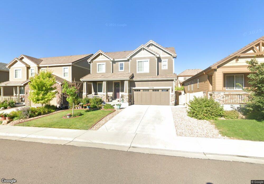
12643 Grape St Thornton, CO 80241
Deer Run NeighborhoodEstimated Value: $655,112 - $701,000
5
Beds
4
Baths
3,716
Sq Ft
$184/Sq Ft
Est. Value
About This Home
This home is located at 12643 Grape St, Thornton, CO 80241 and is currently estimated at $682,528, approximately $183 per square foot. 12643 Grape St is a home located in Adams County with nearby schools including Skyview Elementary School, Shadow Ridge Middle School, and Horizon High School.
Ownership History
Date
Name
Owned For
Owner Type
Purchase Details
Closed on
Jul 31, 2017
Sold by
Richmond American Homes Of Colorado Inc
Bought by
Maez Robyn Alice
Current Estimated Value
Home Financials for this Owner
Home Financials are based on the most recent Mortgage that was taken out on this home.
Original Mortgage
$292,139
Outstanding Balance
$241,012
Interest Rate
3.9%
Mortgage Type
New Conventional
Estimated Equity
$441,516
Create a Home Valuation Report for This Property
The Home Valuation Report is an in-depth analysis detailing your home's value as well as a comparison with similar homes in the area
Home Values in the Area
Average Home Value in this Area
Purchase History
| Date | Buyer | Sale Price | Title Company |
|---|---|---|---|
| Maez Robyn Alice | $472,100 | None Available |
Source: Public Records
Mortgage History
| Date | Status | Borrower | Loan Amount |
|---|---|---|---|
| Open | Maez Robyn Alice | $292,139 |
Source: Public Records
Tax History
| Year | Tax Paid | Tax Assessment Tax Assessment Total Assessment is a certain percentage of the fair market value that is determined by local assessors to be the total taxable value of land and additions on the property. | Land | Improvement |
|---|---|---|---|---|
| 2025 | $7,502 | $46,100 | $8,840 | $37,260 |
| 2024 | $7,502 | $42,380 | $8,130 | $34,250 |
| 2023 | $7,470 | $47,960 | $8,250 | $39,710 |
| 2022 | $5,785 | $34,010 | $8,480 | $25,530 |
| 2021 | $5,924 | $34,010 | $8,480 | $25,530 |
| 2020 | $6,068 | $35,230 | $8,720 | $26,510 |
| 2019 | $6,146 | $35,230 | $8,720 | $26,510 |
| 2018 | $5,834 | $32,350 | $6,700 | $25,650 |
| 2017 | $3,774 | $22,210 | $22,210 | $0 |
| 2016 | $534 | $3,190 | $3,190 | $0 |
| 2015 | $343 | $2,050 | $2,050 | $0 |
| 2014 | -- | $980 | $980 | $0 |
Source: Public Records
Map
Nearby Homes
- 12557 Hudson Ct
- 5201 E 127th Dr
- 12741 Ivanhoe St
- 5024 E 127th Way
- 12761 Ivanhoe St
- 5740 E 127th Place
- 12768 Ivanhoe St
- 12770 Ivanhoe St
- 5375 E 128th Dr
- 12562 Forest St
- 5628 Hudson Cir
- 5241 E 128th Way
- 12774 Jasmine Ct
- 4904 E 125th Ave
- 12655 Jersey Cir E
- 12450 Kearney Cir
- 4655 E 128th Place
- 12870 Jasmine St Unit A
- 12856 Jasmine St Unit B
- 5805 E 124th Way
- 12623 Grape St
- 12653 Grape St
- 12632 Glencoe St
- 12673 Grape St
- 12613 Grape St
- 12622 Glencoe St
- 12642 Glencoe St
- 12612 Glencoe St
- 12644 Grape St
- 12683 Grape St
- 12624 Grape St
- 12654 Grape St
- 12674 Grape St
- 12662 Glencoe St
- 12703 Grape St
- 12684 Grape St
- 12593 Grape St
- 12672 Glencoe St
- 12592 Glencoe St
- 12704 Grape St
Your Personal Tour Guide
Ask me questions while you tour the home.