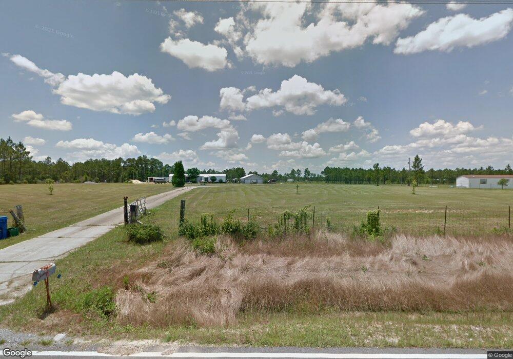
12644 Jim Ramsay Rd Vancleave, MS 39565
Estimated Value: $178,000 - $243,052
--
Bed
--
Bath
840
Sq Ft
$253/Sq Ft
Est. Value
About This Home
This home is located at 12644 Jim Ramsay Rd, Vancleave, MS 39565 and is currently estimated at $212,684, approximately $253 per square foot. 12644 Jim Ramsay Rd is a home with nearby schools including St Martin East Elementary School, St Martin North Elementary School, and St Martin Upper Elementary School.
Ownership History
Date
Name
Owned For
Owner Type
Purchase Details
Closed on
Oct 21, 2022
Sold by
Barnes Dinah L
Bought by
Hutchinson Brandon J
Current Estimated Value
Purchase Details
Closed on
Oct 20, 2022
Sold by
Hutchinson Brandon J
Bought by
Barnes Dinah L
Purchase Details
Closed on
Dec 8, 2015
Sold by
Barnes Dinah L
Bought by
Hutchinson Brandon J and Barnes Dinah L
Create a Home Valuation Report for This Property
The Home Valuation Report is an in-depth analysis detailing your home's value as well as a comparison with similar homes in the area
Home Values in the Area
Average Home Value in this Area
Purchase History
| Date | Buyer | Sale Price | Title Company |
|---|---|---|---|
| Hutchinson Brandon J | -- | -- | |
| Barnes Dinah L | -- | None Listed On Document | |
| Barnes Dinah L | -- | -- | |
| Barnes Dinah L | -- | None Listed On Document | |
| Hutchinson Brandon J | -- | Delta Title & Escrow Co |
Source: Public Records
Tax History Compared to Growth
Tax History
| Year | Tax Paid | Tax Assessment Tax Assessment Total Assessment is a certain percentage of the fair market value that is determined by local assessors to be the total taxable value of land and additions on the property. | Land | Improvement |
|---|---|---|---|---|
| 2024 | $781 | $14,004 | $3,939 | $10,065 |
| 2023 | $781 | $12,601 | $3,942 | $8,659 |
| 2022 | $1,033 | $12,603 | $3,944 | $8,659 |
| 2021 | $1,006 | $11,200 | $2,451 | $8,749 |
| 2020 | $932 | $10,197 | $2,035 | $8,162 |
| 2019 | $919 | $10,201 | $2,039 | $8,162 |
| 2018 | $943 | $10,207 | $2,044 | $8,163 |
| 2017 | $470 | $5,293 | $2,049 | $3,244 |
| 2016 | $442 | $5,281 | $2,037 | $3,244 |
| 2015 | $1,278 | $71,260 | $46,160 | $25,100 |
| 2014 | $1,256 | $10,689 | $6,924 | $3,765 |
| 2013 | $1,075 | $9,470 | $6,924 | $2,546 |
Source: Public Records
Map
Nearby Homes
- 12575 Joe Batt Rd
- 0 Joe Batt Rd
- 0 Wescovich Rd
- 13700 Southern Pine Drive Central
- 10115 Silverwood Dr
- 0 Maple Cove
- 13809 Briarwood Dr
- 13601 Virginia St
- 0 Muszar Ln
- 14342 Oak View Cir
- 13221 Sunview Cove
- 14920 Pine Blvd
- 15655 Krohn Rd
- 0 Larue Rd Unit 4090289
- 13505 Sarus Dr
- 13521 Sarus Dr
- 13509 Sarus Dr
- The Camden Plan at Crane Landing
- The Jasmine Plan at Crane Landing
- The Destin Plan at Crane Landing
- 12640 Jim Ramsay Rd
- 12650 Jim Ramsay Rd
- 12400 Spencer Wilson
- 12680 Spencer Wilson Rd
- 12680 Spencer Wilson Rd
- 13260 Regale Rd
- 12690 Spencer Wilson Rd
- 12901 Jim Ramsay Rd
- 0 Spencer Wilson Rd Unit 3284524
- 0 Spencer Wilson Rd Unit 3284523
- 0 Spencer Wilson Rd Unit 3284519
- 12800 Spencer Wilson Rd
- 13476 Regale Dr
- 13469 Regale Rd
- 13480 Regale Rd
- 12524 Jim Ramsay Rd
- 12811 Jim Ramsay Rd
- 12801 Spencer Wilson Rd
- 12520 Jim Ramsay Rd
- 13500 Regale Rd