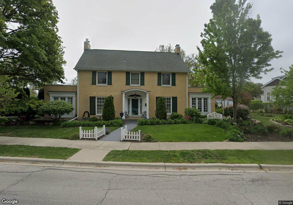
1265 E Prairie Ave Des Plaines, IL 60016
Estimated Value: $526,947 - $613,000
3
Beds
2
Baths
2,908
Sq Ft
$192/Sq Ft
Est. Value
About This Home
This home is located at 1265 E Prairie Ave, Des Plaines, IL 60016 and is currently estimated at $558,237, approximately $191 per square foot. 1265 E Prairie Ave is a home located in Cook County with nearby schools including Central Elementary School, Chippewa Middle School, and Maine West High School.
Ownership History
Date
Name
Owned For
Owner Type
Purchase Details
Closed on
Sep 4, 2003
Sold by
Potts Gary B
Bought by
Potis Gary B and Dalton Barbara J
Current Estimated Value
Purchase Details
Closed on
Oct 11, 2001
Sold by
Androne Martha M
Bought by
Potts Gary B
Home Financials for this Owner
Home Financials are based on the most recent Mortgage that was taken out on this home.
Original Mortgage
$200,000
Outstanding Balance
$76,290
Interest Rate
7%
Estimated Equity
$481,947
Create a Home Valuation Report for This Property
The Home Valuation Report is an in-depth analysis detailing your home's value as well as a comparison with similar homes in the area
Home Values in the Area
Average Home Value in this Area
Purchase History
| Date | Buyer | Sale Price | Title Company |
|---|---|---|---|
| Potis Gary B | -- | -- | |
| Potts Gary B | $320,000 | -- |
Source: Public Records
Mortgage History
| Date | Status | Borrower | Loan Amount |
|---|---|---|---|
| Open | Potts Gary B | $200,000 |
Source: Public Records
Tax History
| Year | Tax Paid | Tax Assessment Tax Assessment Total Assessment is a certain percentage of the fair market value that is determined by local assessors to be the total taxable value of land and additions on the property. | Land | Improvement |
|---|---|---|---|---|
| 2025 | $9,936 | $54,000 | $5,760 | $48,240 |
| 2024 | $9,936 | $41,000 | $5,120 | $35,880 |
| 2023 | $9,670 | $41,000 | $5,120 | $35,880 |
| 2022 | $9,670 | $41,000 | $5,120 | $35,880 |
| 2021 | $9,588 | $34,522 | $4,160 | $30,362 |
| 2020 | $9,495 | $34,522 | $4,160 | $30,362 |
| 2019 | $9,400 | $38,358 | $4,160 | $34,198 |
| 2018 | $9,385 | $34,817 | $3,680 | $31,137 |
| 2017 | $9,237 | $34,817 | $3,680 | $31,137 |
| 2016 | $8,981 | $34,817 | $3,680 | $31,137 |
| 2015 | $7,920 | $28,821 | $3,200 | $25,621 |
| 2014 | $7,769 | $28,821 | $3,200 | $25,621 |
| 2013 | $7,558 | $28,821 | $3,200 | $25,621 |
Source: Public Records
Map
Nearby Homes
- 787 Graceland Ave Unit 202B
- 1325 Perry St Unit 606
- 1107 E Prairie Ave
- 821 Lexington Cir E
- 1378 Perry St Unit 412
- 1277 E Thacker St Unit 303
- 1258 Brown St Unit 302
- 1349 E Washington St Unit 404A
- 750 Pearson St Unit 904
- 1005 Woodlawn Ave
- 900 Center St Unit 3A
- 390 S Western Ave Unit 706
- 770 Pearson St Unit 2207
- 905 Center St Unit B208
- 430 Oak St
- 365 Graceland Ave Unit 205A
- 1380 Oakwood Ave Unit 306
- 650 S River Rd Unit 812
- 1160 Evergreen Ave
- 545 S River Rd Unit 307A
- 1247 E Prairie Ave
- 674 Laurel Ave
- 1258 E Prairie Ave
- 666 Laurel Ave
- 682 Laurel Ave
- 1234 E Prairie Ave
- 1237 E Prairie Ave
- 651 Parsons Ave
- 1284 E Prairie Ave
- 692 Laurel Ave
- 1229 E Prairie Ave
- 702 Laurel Ave
- 1220 E Prairie Ave
- 647 Parsons Ave
- 1221 E Prairie Ave
- 612 Laurel Ave
- 608 Webford Ave
- 650 Parsons Ave
- 663 Laurel Ave
- 598 Webford Ave
Your Personal Tour Guide
Ask me questions while you tour the home.