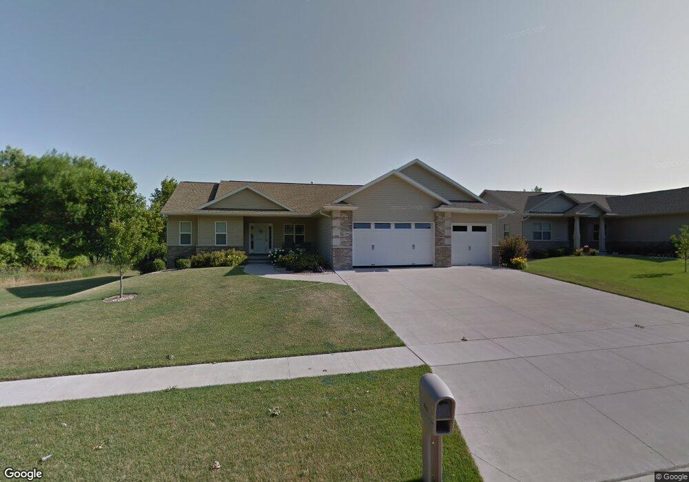
1265 Maple St Robins, IA 52328
Estimated Value: $367,000 - $532,000
4
Beds
3
Baths
2,888
Sq Ft
$156/Sq Ft
Est. Value
About This Home
This home is located at 1265 Maple St, Robins, IA 52328 and is currently estimated at $451,879, approximately $156 per square foot. 1265 Maple St is a home located in Linn County with nearby schools including Nixon Elementary School, Harding Middle School, and John F. Kennedy High School.
Ownership History
Date
Name
Owned For
Owner Type
Purchase Details
Closed on
Jan 7, 2010
Sold by
Sunderman Construction Inc
Bought by
Rosekrans Scott B and Rosekrans Jami L
Current Estimated Value
Home Financials for this Owner
Home Financials are based on the most recent Mortgage that was taken out on this home.
Original Mortgage
$289,200
Outstanding Balance
$186,671
Interest Rate
4.62%
Mortgage Type
New Conventional
Estimated Equity
$265,208
Create a Home Valuation Report for This Property
The Home Valuation Report is an in-depth analysis detailing your home's value as well as a comparison with similar homes in the area
Home Values in the Area
Average Home Value in this Area
Purchase History
| Date | Buyer | Sale Price | Title Company |
|---|---|---|---|
| Rosekrans Scott B | $361,000 | None Available |
Source: Public Records
Mortgage History
| Date | Status | Borrower | Loan Amount |
|---|---|---|---|
| Open | Rosekrans Scott B | $289,200 |
Source: Public Records
Tax History
| Year | Tax Paid | Tax Assessment Tax Assessment Total Assessment is a certain percentage of the fair market value that is determined by local assessors to be the total taxable value of land and additions on the property. | Land | Improvement |
|---|---|---|---|---|
| 2025 | $5,214 | $407,700 | $57,500 | $350,200 |
| 2024 | $5,426 | $403,800 | $57,500 | $346,300 |
| 2023 | $5,426 | $403,800 | $57,500 | $346,300 |
| 2022 | $5,776 | $364,900 | $57,500 | $307,400 |
| 2021 | $5,776 | $364,900 | $57,500 | $307,400 |
| 2020 | $5,776 | $338,800 | $57,500 | $281,300 |
| 2019 | $5,402 | $323,000 | $57,500 | $265,500 |
| 2018 | $5,312 | $323,000 | $57,500 | $265,500 |
| 2017 | $5,674 | $333,100 | $57,500 | $275,600 |
| 2016 | $5,550 | $322,500 | $57,500 | $265,000 |
| 2015 | $5,566 | $322,500 | $57,500 | $265,000 |
| 2014 | $5,416 | $322,500 | $57,500 | $265,000 |
| 2013 | $5,294 | $322,500 | $57,500 | $265,000 |
Source: Public Records
Map
Nearby Homes
- 0 Maple St
- 70.78 Acres M L Quass Rd
- 165 Timber Ln
- 9124 Grand Oaks Dr NE
- 8932 Norway Dr NE
- 8926 Norway Dr NE
- Lot 9 Kervin Ct
- Lot 10 Kervin Ct
- 3230 N Center Point Rd Unit Lot 3
- 8608 Flatbush Ct NE
- 804 Palmyra Dr NE
- 8201 Council St NE
- 620 Hampton St
- 570 Hampton St
- 540 Hampton St
- 560 Hampton St
- 590 Hampton St
- 600 Hampton St
- 500 Hampton St
- 545 Hampton St
- 1285 Maple St
- 1305 Maple St
- 395 Briarwood Ln
- 745 Timber Oak Ct
- 1300 Maple St
- 1325 Maple St
- 1320 Maple St
- 1345 Maple St
- 1105 Maple St
- 420 Briarwood Ln
- 1350 Maple St
- 380 Briarwood Ln
- 1365 Maple St
- 375 Charlotte Ave
- 425 Briarwood Ln
- 1360 Maple St
- 440 Briarwood Ln
- 280 Charlotte Ave
- 1385 Maple St
- 6102 Briarwood Dr
Your Personal Tour Guide
Ask me questions while you tour the home.