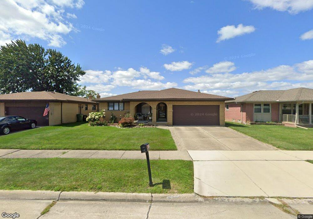
12650 Shery Ln Southgate, MI 48195
Estimated Value: $264,510 - $290,000
3
Beds
2
Baths
1,551
Sq Ft
$182/Sq Ft
Est. Value
About This Home
This home is located at 12650 Shery Ln, Southgate, MI 48195 and is currently estimated at $282,628, approximately $182 per square foot. 12650 Shery Ln is a home located in Wayne County with nearby schools including Shelters Elementary School, Davidson Middle School, and Southgate Anderson High School.
Ownership History
Date
Name
Owned For
Owner Type
Purchase Details
Closed on
Mar 5, 2019
Sold by
Devins Michele
Bought by
Devins Michele and Devins Conor Mackenzie
Current Estimated Value
Purchase Details
Closed on
Dec 13, 2004
Sold by
Devins Chris and Devins Michele
Bought by
Devins Michele
Home Financials for this Owner
Home Financials are based on the most recent Mortgage that was taken out on this home.
Original Mortgage
$166,000
Outstanding Balance
$74,107
Interest Rate
4.12%
Mortgage Type
New Conventional
Estimated Equity
$208,521
Purchase Details
Closed on
Sep 4, 2001
Sold by
Chapman Carole L
Bought by
Devins Christopher
Create a Home Valuation Report for This Property
The Home Valuation Report is an in-depth analysis detailing your home's value as well as a comparison with similar homes in the area
Home Values in the Area
Average Home Value in this Area
Purchase History
| Date | Buyer | Sale Price | Title Company |
|---|---|---|---|
| Devins Michele | -- | None Available | |
| Devins Michele | -- | Multiple | |
| Devins Christopher | $183,900 | -- |
Source: Public Records
Mortgage History
| Date | Status | Borrower | Loan Amount |
|---|---|---|---|
| Open | Devins Michele | $166,000 |
Source: Public Records
Tax History Compared to Growth
Tax History
| Year | Tax Paid | Tax Assessment Tax Assessment Total Assessment is a certain percentage of the fair market value that is determined by local assessors to be the total taxable value of land and additions on the property. | Land | Improvement |
|---|---|---|---|---|
| 2025 | $3,132 | $126,600 | $0 | $0 |
| 2024 | $3,132 | $122,000 | $0 | $0 |
| 2023 | $2,998 | $112,300 | $0 | $0 |
| 2022 | $3,492 | $103,400 | $0 | $0 |
| 2021 | $3,396 | $91,600 | $0 | $0 |
| 2020 | $3,337 | $84,600 | $0 | $0 |
| 2019 | $3,293 | $80,900 | $0 | $0 |
| 2018 | $2,482 | $74,900 | $0 | $0 |
| 2017 | $1,536 | $70,800 | $0 | $0 |
| 2016 | $3,038 | $68,600 | $0 | $0 |
| 2015 | $5,430 | $57,900 | $0 | $0 |
| 2013 | $5,260 | $53,900 | $0 | $0 |
| 2012 | $2,188 | $51,700 | $6,100 | $45,600 |
Source: Public Records
Map
Nearby Homes
- ESSEX Plan at Woodland Ridge
- DUPONT Plan at Woodland Ridge
- 12720 Elaine Dr Unit 31
- 12792 Elaine Dr
- 15308 Woodland Ridge Dr
- 12485 Timber Ct
- 12503 Timber Ct
- 12540 Churchill Ave
- 15355 Wesley St
- 12395 Timber Ct
- 12510 Churchill Ave
- 15405 Wesley St
- 12480 Churchill Ave
- 15455 Wesley St
- 12450 Churchill Ave
- 15468 Northline Rd
- 12420 Churchill Ave
- 15048 Yorkshire St
- 12215 Manor Dr
- 15602 Northline Rd