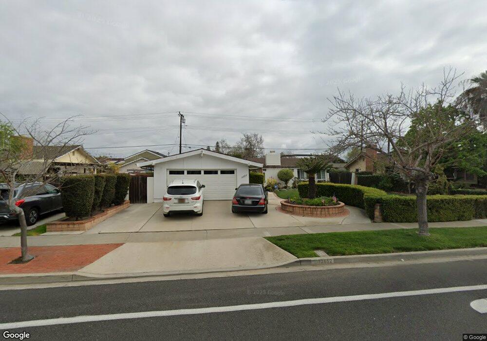
12652 Foster Rd Los Alamitos, CA 90720
Rossmoor NeighborhoodEstimated Value: $1,488,716 - $1,643,000
3
Beds
2
Baths
1,735
Sq Ft
$902/Sq Ft
Est. Value
About This Home
This home is located at 12652 Foster Rd, Los Alamitos, CA 90720 and is currently estimated at $1,564,679, approximately $901 per square foot. 12652 Foster Rd is a home located in Orange County with nearby schools including Francis Hopkinson Elementary School, Jack L. Weaver Elementary School, and Oak Middle School.
Ownership History
Date
Name
Owned For
Owner Type
Purchase Details
Closed on
Jun 19, 2009
Sold by
Livian Peter G and Livian Lourdes M
Bought by
Livian Peter G and Livian Lourdes
Current Estimated Value
Home Financials for this Owner
Home Financials are based on the most recent Mortgage that was taken out on this home.
Original Mortgage
$493,000
Interest Rate
4.83%
Mortgage Type
New Conventional
Purchase Details
Closed on
Dec 16, 2008
Sold by
Livian Peter G and Livian Lourdes
Bought by
Livian Peter G and Livian Lourdes M
Create a Home Valuation Report for This Property
The Home Valuation Report is an in-depth analysis detailing your home's value as well as a comparison with similar homes in the area
Home Values in the Area
Average Home Value in this Area
Purchase History
| Date | Buyer | Sale Price | Title Company |
|---|---|---|---|
| Livian Peter G | -- | Lawyers Title Company | |
| Livian Peter G | -- | None Available |
Source: Public Records
Mortgage History
| Date | Status | Borrower | Loan Amount |
|---|---|---|---|
| Closed | Livian Peter G | $493,000 |
Source: Public Records
Tax History Compared to Growth
Tax History
| Year | Tax Paid | Tax Assessment Tax Assessment Total Assessment is a certain percentage of the fair market value that is determined by local assessors to be the total taxable value of land and additions on the property. | Land | Improvement |
|---|---|---|---|---|
| 2025 | $3,547 | $273,810 | $160,553 | $113,257 |
| 2024 | $3,547 | $268,442 | $157,405 | $111,037 |
| 2023 | $3,458 | $263,179 | $154,319 | $108,860 |
| 2022 | $3,430 | $258,019 | $151,293 | $106,726 |
| 2021 | $3,354 | $252,960 | $148,326 | $104,634 |
| 2020 | $3,353 | $250,367 | $146,805 | $103,562 |
| 2019 | $3,304 | $245,458 | $143,926 | $101,532 |
| 2018 | $3,187 | $240,646 | $141,104 | $99,542 |
| 2017 | $3,119 | $235,928 | $138,337 | $97,591 |
| 2016 | $3,059 | $231,302 | $135,624 | $95,678 |
| 2015 | $3,043 | $227,828 | $133,587 | $94,241 |
| 2014 | $2,943 | $223,366 | $130,971 | $92,395 |
Source: Public Records
Map
Nearby Homes
- 2762 Engel Dr
- 12725 Martha Ann Dr
- 5006 Belmont Ln
- 6038 Derby Ln
- 12452 Martha Ann Dr
- 13061 Del Monte Dr 277c M-11
- 13061 Del Monte Dr Unit 277L
- 1600 Northwood Rd Unit 275E
- 3232 Brimhall Dr
- 13040 Del Monte Dr Unit 45G
- 13120 Del Monte Dr Unit 47G
- 3162 Yellowtail Dr
- 1881 Saint John Rd Unit 37B
- 13100 Shawnee Ln
- 1861 Saint John Rd
- 13121 Del Monte Dr
- 1540 Northwood Rd
- 3322 Hillrose Dr
- 12584 Montecito Rd Unit 5
- 13110 Seaview Ln Unit 245B
- 12642 Foster Rd
- 12651 Christy Ln
- 12671 Christy Ln
- 12641 Christy Ln
- 12682 Foster Rd
- 12651 Foster Rd
- 12632 Foster Rd
- 12681 Christy Ln
- 12631 Christy Ln
- 2842 Walker Lee Dr
- 2822 Copa de Oro Dr
- 2831 Walker Lee Dr
- 12692 Foster Rd
- 12691 Christy Ln
- 2832 Walker Lee Dr
- 2802 Copa de Oro Dr
- 2891 Walker Lee Dr
- 2861 Brimhall Dr
- 2821 Walker Lee Dr
- 2892 Walker Lee Dr