12654 Scottsdale Cir Unit I Stanton, CA 90680
Estimated Value: $490,000 - $597,000
1
Bed
1
Bath
822
Sq Ft
$633/Sq Ft
Est. Value
About This Home
This home is located at 12654 Scottsdale Cir Unit I, Stanton, CA 90680 and is currently estimated at $520,718, approximately $633 per square foot. 12654 Scottsdale Cir Unit I is a home located in Orange County with nearby schools including Wakeham Elementary School, Alamitos Intermediate School, and Pacifica High School.
Ownership History
Date
Name
Owned For
Owner Type
Purchase Details
Closed on
Apr 5, 2018
Sold by
Mendoza Esther and Mendoza Juanita James
Bought by
Mendoza Esther
Current Estimated Value
Purchase Details
Closed on
Jun 11, 1998
Sold by
Westaway Loretta
Bought by
Mendoza Esther and Mendoza Juanita J
Home Financials for this Owner
Home Financials are based on the most recent Mortgage that was taken out on this home.
Original Mortgage
$93,100
Interest Rate
6.9%
Purchase Details
Closed on
Sep 16, 1996
Sold by
Stephens Robert B 3Rd
Bought by
Westaway Loretta
Home Financials for this Owner
Home Financials are based on the most recent Mortgage that was taken out on this home.
Original Mortgage
$58,100
Interest Rate
8.3%
Create a Home Valuation Report for This Property
The Home Valuation Report is an in-depth analysis detailing your home's value as well as a comparison with similar homes in the area
Home Values in the Area
Average Home Value in this Area
Purchase History
| Date | Buyer | Sale Price | Title Company |
|---|---|---|---|
| Mendoza Esther | -- | North American Title | |
| Mendoza Esther | $98,000 | Lawyers Title Company | |
| Westaway Loretta | $83,000 | Benefit Land Title Company |
Source: Public Records
Mortgage History
| Date | Status | Borrower | Loan Amount |
|---|---|---|---|
| Previous Owner | Mendoza Esther | $93,100 | |
| Previous Owner | Westaway Loretta | $58,100 |
Source: Public Records
Tax History Compared to Growth
Tax History
| Year | Tax Paid | Tax Assessment Tax Assessment Total Assessment is a certain percentage of the fair market value that is determined by local assessors to be the total taxable value of land and additions on the property. | Land | Improvement |
|---|---|---|---|---|
| 2025 | $2,067 | $153,625 | $70,314 | $83,311 |
| 2024 | $2,067 | $150,613 | $68,935 | $81,678 |
| 2023 | $2,025 | $147,660 | $67,583 | $80,077 |
| 2022 | $1,980 | $144,765 | $66,258 | $78,507 |
| 2021 | $1,959 | $141,927 | $64,959 | $76,968 |
| 2020 | $1,931 | $140,472 | $64,293 | $76,179 |
| 2019 | $1,898 | $137,718 | $63,032 | $74,686 |
| 2018 | $1,860 | $135,018 | $61,796 | $73,222 |
| 2017 | $1,833 | $132,371 | $60,584 | $71,787 |
| 2016 | $1,764 | $129,776 | $59,396 | $70,380 |
| 2015 | $1,739 | $127,827 | $58,504 | $69,323 |
| 2014 | $1,700 | $125,324 | $57,358 | $67,966 |
Source: Public Records
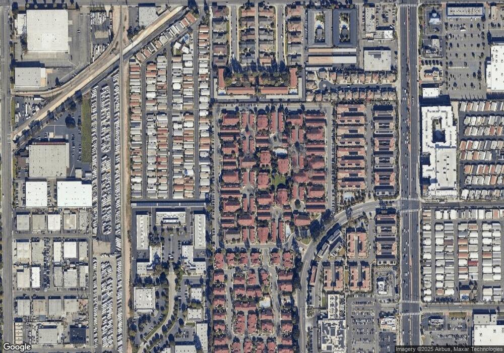
Map
Nearby Homes
- 12651 Glendale Cir
- 7700 Lampson Ave Unit 71
- 7700 Lampson Ave Unit 117
- 7700 Lampson Ave Unit 52
- 7700 Lampson Ave Unit 138
- 7999 Stepping Stone Cir
- 8051 Acacia Ave Unit 23
- 7887 Lampson Ave Unit 17
- 8111 Stanford Ave Unit 127
- 8111 Stanford Ave
- 12920 Sycamore St
- 12315 Westcliff Dr
- 43 Bigsby Dr
- 28 Bigsby Dr
- 47 Bigsby Dr
- 8185 Del Rey Dr
- 13221 Cedar St
- 13251 Cherry St
- 13141 Monroe St
- 13082 Monroe St
- 12654 Scottsdale Cir Unit E
- 12654 Scottsdale Cir Unit K
- 12654 Scottsdale Cir Unit N
- 12654 Scottsdale Cir Unit G
- 12654 Scottsdale Cir Unit L
- 12654 Scottsdale Cir Unit D
- 12654 Scottsdale Cir Unit C
- 12654 Scottsdale Cir Unit M
- 12654 Scottsdale Cir Unit H
- 12654 Scottsdale Cir Unit B
- 12654 Scottsdale Cir Unit A
- 12654 Scottsdale Cir Unit J
- 12654 Scottsdale Cir Unit F
- 12683 Ferndale Cir Unit 21
- 12685 Ferndale Cir
- 12683 Ferndale Cir
- 12681 Ferndale Cir
- 12650 Scottsdale Cir Unit 110
- 12652 Scottsdale Cir Unit 109
- 12656 Scottsdale Cir