12655 Andrew Ln Molt, MT 59057
Estimated Value: $373,000 - $679,000
2
Beds
1
Bath
1,712
Sq Ft
$309/Sq Ft
Est. Value
About This Home
This home is located at 12655 Andrew Ln, Molt, MT 59057 and is currently estimated at $529,802, approximately $309 per square foot. 12655 Andrew Ln is a home located in Yellowstone County with nearby schools including Elder Grove Elementary School and Billings West High School.
Ownership History
Date
Name
Owned For
Owner Type
Purchase Details
Closed on
Aug 25, 2014
Sold by
Olson Darry L
Bought by
Olson Darryl L and Jennen David S
Current Estimated Value
Purchase Details
Closed on
Nov 19, 2012
Sold by
Olson Darryl L
Bought by
Olson Darryl L and Jennen David S
Purchase Details
Closed on
Jun 28, 2012
Sold by
Jennen David S
Bought by
Olson Darryll
Home Financials for this Owner
Home Financials are based on the most recent Mortgage that was taken out on this home.
Original Mortgage
$192,658
Interest Rate
3.74%
Mortgage Type
VA
Purchase Details
Closed on
Feb 22, 2011
Sold by
Olson Darryl L
Bought by
Olson Darryl L and Jennen David S
Home Financials for this Owner
Home Financials are based on the most recent Mortgage that was taken out on this home.
Original Mortgage
$192,552
Interest Rate
4.67%
Mortgage Type
VA
Purchase Details
Closed on
May 20, 2010
Sold by
Bouwkamp Marvin J
Bought by
Bouwkamp Dever
Create a Home Valuation Report for This Property
The Home Valuation Report is an in-depth analysis detailing your home's value as well as a comparison with similar homes in the area
Purchase History
| Date | Buyer | Sale Price | Title Company |
|---|---|---|---|
| Olson Darryl L | -- | Chicago Title | |
| Olson Darryl L | -- | None Available | |
| Olson Darryll | -- | Chicago Title | |
| Olson Darryl L | -- | Chicago Title | |
| Olson Darryl L | -- | Ctc | |
| Bouwkamp Dever | -- | None Available |
Source: Public Records
Mortgage History
| Date | Status | Borrower | Loan Amount |
|---|---|---|---|
| Previous Owner | Olson Darryll | $192,658 | |
| Previous Owner | Olson Darryl L | $192,552 |
Source: Public Records
Tax History
| Year | Tax Paid | Tax Assessment Tax Assessment Total Assessment is a certain percentage of the fair market value that is determined by local assessors to be the total taxable value of land and additions on the property. | Land | Improvement |
|---|---|---|---|---|
| 2025 | $3,193 | $529,200 | $137,886 | $391,314 |
| 2024 | $3,193 | $477,500 | $90,898 | $386,602 |
| 2023 | $3,218 | $477,500 | $90,898 | $386,602 |
| 2022 | $2,820 | $345,600 | $0 | $0 |
| 2021 | $2,820 | $345,600 | $0 | $0 |
| 2020 | $2,793 | $310,900 | $0 | $0 |
| 2019 | $2,728 | $310,900 | $0 | $0 |
| 2018 | $2,666 | $303,900 | $0 | $0 |
| 2017 | $2,122 | $303,900 | $0 | $0 |
| 2016 | $1,769 | $259,500 | $0 | $0 |
| 2015 | $1,511 | $221,300 | $0 | $0 |
| 2014 | $1,432 | $109,975 | $0 | $0 |
Source: Public Records
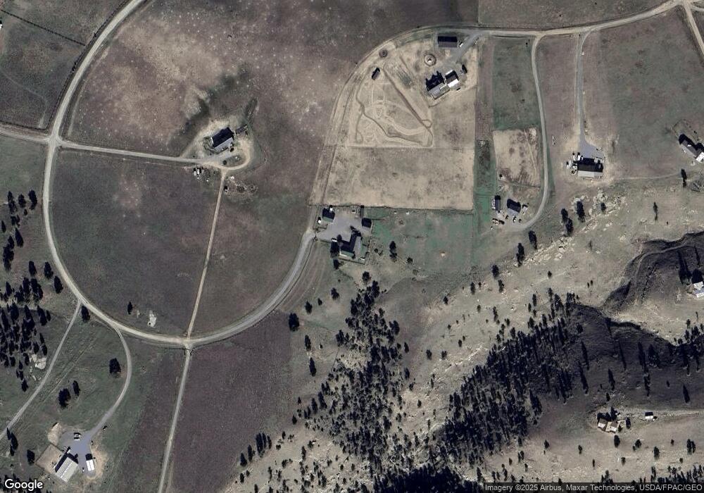
Map
Nearby Homes
- 00 Rocky Ridge Rd
- 4040 S Mountain View Rd
- 4355 S Mountain View Rd
- 4040 Valley Canyon Ranch Rd
- Parcel 16 Mountain View Rd
- 3920 Valley Canyon Ranch
- TBD Coombs Flat Road - Lot 4
- TBD Coombs Flat Road - Lot 3
- 0 Coombs Flat Rd
- TBD Coombs Flat Road - Lot 1
- TBD Coombs Flat Road - Lot 2
- 3203 Chief Looking Glass Trl Rd
- 3103 Chief Looking Glass Rd
- 8542 Monad Rd
- 8650 Longmeadow Dr
- 945 S 84th St W
- 545 Pike Ct
- 7809 Lewis Ave
- 243 S 80th St W
- 476 African St
- 12550 Andrew Ln
- 12411 Andrew Ln
- 12465 Andrew Ln
- 1600 Stephen Ln
- 00 Andrew Ln
- 0 Andrew Ln
- 1700 Stephen Ln
- 12575 Andrew Ln
- 2170 Andrew Ln
- 12555 Andrew Ln
- 12555 Andrew Ln
- 28 Stephen Ln
- 31 Stephen Ln
- 0 Stephen Ln
- 26A Stephen Ln
- 25A Stephen Ln
- 22 Stephen Ln
- Parcel 19 Stephen Ln
- 12905 Garnet Rd
- Parcel 20 Stephen Ln
Your Personal Tour Guide
Ask me questions while you tour the home.