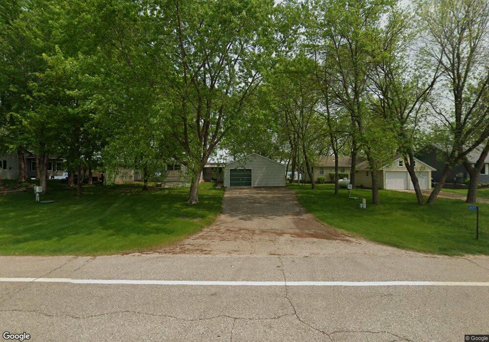
12655 County Road 9 NE Spicer, MN 56288
Estimated Value: $277,437 - $420,000
3
Beds
1
Bath
1,188
Sq Ft
$292/Sq Ft
Est. Value
About This Home
This home is located at 12655 County Road 9 NE, Spicer, MN 56288 and is currently estimated at $346,859, approximately $291 per square foot. 12655 County Road 9 NE is a home located in Kandiyohi County with nearby schools including Prairie Woods Elementary School, New London-Spicer Middle School, and New London-Spicer Senior High School.
Ownership History
Date
Name
Owned For
Owner Type
Purchase Details
Closed on
Dec 14, 2021
Sold by
Asche & Co
Bought by
Torkelson Kelvin and Torkelson Cynthia
Current Estimated Value
Purchase Details
Closed on
Mar 5, 2009
Sold by
Olson Rober R and Olson Sherry R
Bought by
Asche & Company
Create a Home Valuation Report for This Property
The Home Valuation Report is an in-depth analysis detailing your home's value as well as a comparison with similar homes in the area
Home Values in the Area
Average Home Value in this Area
Purchase History
| Date | Buyer | Sale Price | Title Company |
|---|---|---|---|
| Torkelson Kelvin | $254,000 | Quality Title | |
| Asche & Company | $160,000 | None Available |
Source: Public Records
Tax History Compared to Growth
Tax History
| Year | Tax Paid | Tax Assessment Tax Assessment Total Assessment is a certain percentage of the fair market value that is determined by local assessors to be the total taxable value of land and additions on the property. | Land | Improvement |
|---|---|---|---|---|
| 2025 | $3,832 | $717,800 | $224,400 | $493,400 |
| 2024 | $3,744 | $239,800 | $224,400 | $15,400 |
| 2023 | $3,706 | $234,500 | $213,800 | $20,700 |
| 2022 | $3,638 | $234,000 | $213,800 | $20,200 |
| 2021 | $3,642 | $193,000 | $174,600 | $18,400 |
| 2020 | $3,544 | $187,100 | $171,000 | $16,100 |
| 2019 | $3,570 | $180,200 | $163,900 | $16,300 |
| 2018 | $3,466 | $180,600 | $163,900 | $16,700 |
| 2017 | $3,424 | $176,600 | $163,900 | $12,700 |
| 2016 | $3,380 | $1,764 | $0 | $0 |
| 2015 | -- | $0 | $0 | $0 |
| 2014 | -- | $0 | $0 | $0 |
Source: Public Records
Map
Nearby Homes
- 4316 133rd Ave NE
- 4808 132nd Ave NE Unit 25
- 5078 132nd Ave NE
- 5288 132nd Ave NE Unit C7
- 5288 (R22) 53rd St NE
- 5288 (R24) 53rd St NE
- 5272 (R26) 53rd St NE
- 5288 (R19) 53rd St NE
- 13205 (R17) 53rd St NE
- 5288 (R23) 53rd St NE
- 10957 Highway 71 NE
- 4539 141st Ave NE
- 6844 140th Ave NE
- 621 Loretta Cir
- 403 Miller St
- 6567 150th Ave NE
- - Agnes St & 6th Ave Bypass
- 311 131st Ave NE
- 263 Lake Ave N
- 14224 Skyline Dr
- 12681 County Road 9 NE
- 12611 County Road 9 NE
- 12707 County Road 9 NE
- 12739 County Road 9 NE
- 12549 County Road 9 NE
- 12763 County Road 9 NE
- 12535 County Road 9 NE
- 12801 42nd St NE
- 12479 County Road 9 NE
- 12821 42nd St NE
- 12457 County Road 9 NE
- 12460 County Road 9 NE
- 12389 County Road 9 NE
- 12361 County Road 9 NE
- 12919 42nd St NE
- 12916 42nd St NE
- 12931 42nd St NE
- 12953 42nd St NE
- 12953 12953 Ne 42 Street--
- 12953 NE 42 St