12655 Highway 62 Eagle Point, OR 97524
Estimated Value: $539,000 - $559,276
4
Beds
2
Baths
1,848
Sq Ft
$297/Sq Ft
Est. Value
About This Home
This home is located at 12655 Highway 62, Eagle Point, OR 97524 and is currently estimated at $549,138, approximately $297 per square foot. 12655 Highway 62 is a home located in Jackson County with nearby schools including Eagle Rock Elementary School, Eagle Point Middle School, and White Mountain Middle School.
Ownership History
Date
Name
Owned For
Owner Type
Purchase Details
Closed on
Sep 24, 2025
Sold by
Smith Living Trust and Smith Claudia
Bought by
Mccready Robert and Mccready Tanya
Current Estimated Value
Home Financials for this Owner
Home Financials are based on the most recent Mortgage that was taken out on this home.
Original Mortgage
$380,000
Outstanding Balance
$351,112
Interest Rate
6.58%
Mortgage Type
Seller Take Back
Estimated Equity
$198,026
Create a Home Valuation Report for This Property
The Home Valuation Report is an in-depth analysis detailing your home's value as well as a comparison with similar homes in the area
Purchase History
| Date | Buyer | Sale Price | Title Company |
|---|---|---|---|
| Mccready Robert | $580,000 | Ticor Title |
Source: Public Records
Mortgage History
| Date | Status | Borrower | Loan Amount |
|---|---|---|---|
| Open | Mccready Robert | $380,000 |
Source: Public Records
Tax History
| Year | Tax Paid | Tax Assessment Tax Assessment Total Assessment is a certain percentage of the fair market value that is determined by local assessors to be the total taxable value of land and additions on the property. | Land | Improvement |
|---|---|---|---|---|
| 2026 | $2,925 | $253,750 | -- | -- |
| 2025 | $2,849 | $246,360 | $115,600 | $130,760 |
| 2024 | $2,849 | $239,190 | $74,870 | $164,320 |
| 2023 | $2,752 | $232,230 | $72,700 | $159,530 |
| 2022 | $2,680 | $232,230 | $72,700 | $159,530 |
| 2021 | $2,602 | $225,470 | $70,590 | $154,880 |
| 2020 | $2,810 | $218,910 | $68,540 | $150,370 |
| 2019 | $2,775 | $206,350 | $64,610 | $141,740 |
| 2018 | $2,712 | $200,340 | $62,730 | $137,610 |
| 2017 | $2,648 | $200,340 | $62,730 | $137,610 |
| 2016 | $2,580 | $188,850 | $59,130 | $129,720 |
| 2015 | $2,492 | $188,850 | $59,130 | $129,720 |
| 2014 | $2,421 | $178,010 | $55,730 | $122,280 |
Source: Public Records
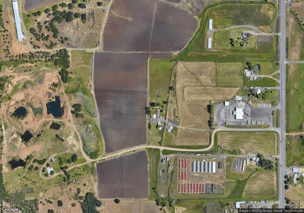
Map
Nearby Homes
- 712 Nottingham Terrace
- 417 E Rolling Hills Dr
- 700 Nottingham Terrace
- 1560 Brentwood Dr
- 631 Nottingham Terrace
- 110 Linton Way
- 945 Win Way
- 208 Northview Dr Unit 1B
- 407 N Deanjou Ave
- 925 Sellwood Dr
- 403 N Deanjou Ave
- 912 Stonewater Dr
- 1017 Havenwood Dr
- 917 Stonewater Dr
- 911 Stonewater Dr
- 1023 Highlands Dr
- 438 Westminster Dr
- 445 Mount Castle Dr
- 250 Tierra Cir
- 200 Sierra Dr
- 12753 Highway 62
- 12753 Oregon 62
- 12575 Highway 62
- 12811 Highway 62
- 360 W Rolling Hills Dr
- 12421 Oregon 62
- 250 W Rolling Hills Dr
- 12544 Highway 62
- 12600 Highway 62
- 370 W Rolling Hills Dr
- 40 W Rolling Hills Dr
- 12448 Highway 62
- 420 W Rolling Hills Dr
- 368 W Rolling Hills Dr
- 466 W Rolling Hills Dr
- 195 W Rolling Hills Dr
- 12600 Oregon 62
- 12752 Highway 62
- 12321 Highway 62
- 494 W Rolling Hills Dr
Your Personal Tour Guide
Ask me questions while you tour the home.