12658 N Sunnyside Ave Clovis, CA 93619
Estimated Value: $2,161,000 - $3,124,000
6
Beds
5
Baths
7,587
Sq Ft
$344/Sq Ft
Est. Value
About This Home
This home is located at 12658 N Sunnyside Ave, Clovis, CA 93619 and is currently estimated at $2,612,296, approximately $344 per square foot. 12658 N Sunnyside Ave is a home with nearby schools including James S. Fugman Elementary School, Granite Ridge Intermediate School, and Clovis North High School.
Ownership History
Date
Name
Owned For
Owner Type
Purchase Details
Closed on
Jan 16, 2013
Sold by
Kasaian John Joseph and Kasaian Suzelle
Bought by
Malakan Nader and Malakan Alissa
Current Estimated Value
Purchase Details
Closed on
Jan 22, 2004
Sold by
Drake Donna
Bought by
Kasaian John and Kasaian Suzette
Purchase Details
Closed on
Jan 7, 2004
Sold by
Bane Richard
Bought by
Drake Donna
Purchase Details
Closed on
Feb 17, 1999
Sold by
House Charles W & Mary Margaret
Bought by
Bane Richard
Create a Home Valuation Report for This Property
The Home Valuation Report is an in-depth analysis detailing your home's value as well as a comparison with similar homes in the area
Home Values in the Area
Average Home Value in this Area
Purchase History
| Date | Buyer | Sale Price | Title Company |
|---|---|---|---|
| Malakan Nader | $140,000 | Stewart Title Of Ca Inc | |
| Kasaian John | $125,000 | Commonwealth Land Title Ins | |
| Drake Donna | -- | -- | |
| Bane Richard | -- | Fidelity National Title Co |
Source: Public Records
Tax History Compared to Growth
Tax History
| Year | Tax Paid | Tax Assessment Tax Assessment Total Assessment is a certain percentage of the fair market value that is determined by local assessors to be the total taxable value of land and additions on the property. | Land | Improvement |
|---|---|---|---|---|
| 2025 | $22,279 | $1,894,700 | $172,394 | $1,722,306 |
| 2023 | $21,430 | $1,821,128 | $165,700 | $1,655,428 |
| 2022 | $21,145 | $1,785,420 | $162,451 | $1,622,969 |
| 2021 | $20,549 | $1,750,413 | $159,266 | $1,591,147 |
| 2020 | $20,470 | $1,732,465 | $157,633 | $1,574,832 |
| 2019 | $20,071 | $1,698,496 | $154,543 | $1,543,953 |
| 2018 | $19,630 | $1,665,193 | $151,513 | $1,513,680 |
| 2017 | $19,294 | $1,632,543 | $148,543 | $1,484,000 |
| 2016 | $1,700 | $145,631 | $145,631 | $0 |
| 2015 | $1,674 | $143,444 | $143,444 | $0 |
| 2014 | $1,643 | $140,635 | $140,635 | $0 |
Source: Public Records
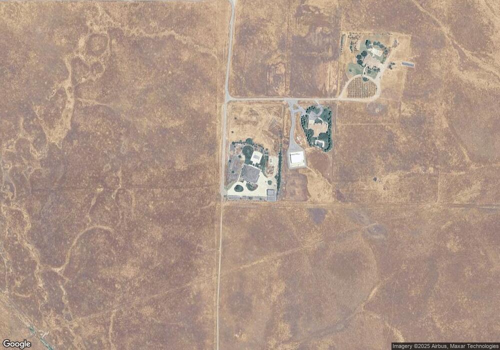
Map
Nearby Homes
- 2300 N Osmun Ave
- 11208 N Fowler Ave
- 5180 E Copper Ave
- 5189 E Copper Ave
- 0 E Copper Ave
- 12875 Biglione Dr
- 1 Biglione Dr
- 0 Biglione Dr
- 2 Biglione Dr
- 4715 E Copper Ave
- 10896 N Armstrong Ave
- 12897 Auberry Rd
- 5494 E International Ave
- 6510 E Copper Ave
- 6391 E Copper Ave
- 5 Acre Lot Summit Crest Ln
- 12911 Auberry
- 15 Acre Lot Summit Crest Ln
- 10326 N Fowler Ave
- 1 Summit Mountain Rd
- 12574 N Sunnyside Ave
- 0 Sunnyside Ave Ave Unit 218264
- 12450 N Sunnyside Ave
- 1258 Fruitwood Ave
- 1238 Fruitwood Ave
- 1228 Fruitwood Ave
- 1269 Plum Tree Ave
- 1248 Fruitwood Ave
- 1269 Plum Tree Ave Unit 24
- 11938 Marietta Ave
- 12588 Sunnyside Ave
- 11850 Marietta Ave
- 11933 Marietta Ave
- 4962 Stetson Rd
- 4844 Stetson Rd
- 4872 Stetson Rd
- 4776 Stetson Rd
- 11778 Marietta Ave
- 0 E Appaloosa Ave Unit 441274
- 0 E Appaloosa Ave Unit 35 351803