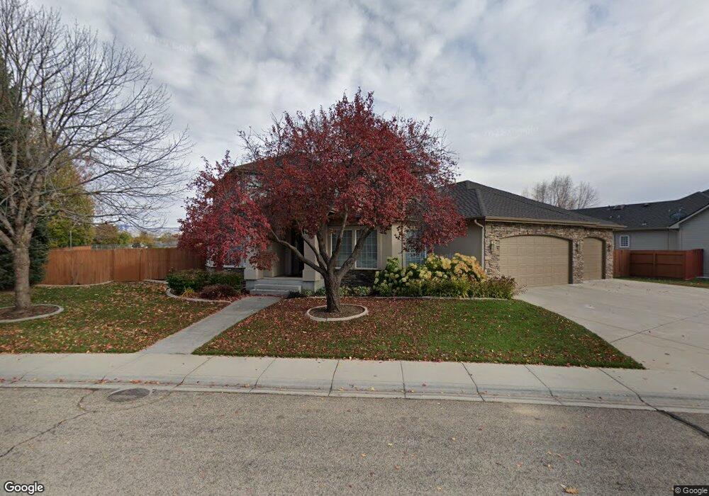
12659 W Running Brook Ct Boise, ID 83713
West Boise NeighborhoodEstimated Value: $827,000 - $926,000
6
Beds
5
Baths
3,140
Sq Ft
$281/Sq Ft
Est. Value
About This Home
This home is located at 12659 W Running Brook Ct, Boise, ID 83713 and is currently estimated at $882,139, approximately $280 per square foot. 12659 W Running Brook Ct is a home located in Ada County with nearby schools including Joplin Elementary School, Lowell Scott Middle School, and Centennial High School.
Ownership History
Date
Name
Owned For
Owner Type
Purchase Details
Closed on
May 2, 2002
Sold by
Royal Fork Restaurant Corp
Bought by
Robertson Karl W and Robertson Jeanna I
Current Estimated Value
Home Financials for this Owner
Home Financials are based on the most recent Mortgage that was taken out on this home.
Original Mortgage
$363,300
Outstanding Balance
$155,564
Interest Rate
7.13%
Mortgage Type
Purchase Money Mortgage
Estimated Equity
$726,575
Create a Home Valuation Report for This Property
The Home Valuation Report is an in-depth analysis detailing your home's value as well as a comparison with similar homes in the area
Home Values in the Area
Average Home Value in this Area
Purchase History
| Date | Buyer | Sale Price | Title Company |
|---|---|---|---|
| Robertson Karl W | -- | Transnation Title & Escrow I |
Source: Public Records
Mortgage History
| Date | Status | Borrower | Loan Amount |
|---|---|---|---|
| Open | Robertson Karl W | $363,300 |
Source: Public Records
Tax History Compared to Growth
Tax History
| Year | Tax Paid | Tax Assessment Tax Assessment Total Assessment is a certain percentage of the fair market value that is determined by local assessors to be the total taxable value of land and additions on the property. | Land | Improvement |
|---|---|---|---|---|
| 2025 | $4,523 | $877,200 | -- | -- |
| 2024 | $4,394 | $809,000 | -- | -- |
| 2023 | $4,394 | $756,300 | $0 | $0 |
| 2022 | $5,053 | $873,500 | $0 | $0 |
| 2021 | $5,016 | $697,100 | $0 | $0 |
| 2020 | $4,544 | $555,900 | $0 | $0 |
| 2019 | $5,773 | $550,800 | $0 | $0 |
| 2018 | $5,571 | $492,200 | $0 | $0 |
| 2017 | $5,033 | $431,500 | $0 | $0 |
| 2016 | $5,157 | $426,100 | $0 | $0 |
| 2015 | $4,852 | $399,900 | $0 | $0 |
| 2012 | -- | $317,300 | $0 | $0 |
Source: Public Records
Map
Nearby Homes
- 5360 N Noble Fir Ave
- 12773 W Engelmann Dr
- 12421 W Engelmann Dr
- 5139 N Brookfield Place
- 4975 N Morninggale Way
- 12253 W Norway St
- 5221 N Creswell Ave
- 12360 W Avanti Dr
- 3982 N Creswell St
- 12661 W Mercedes Ct
- 5530 N Papago Ave
- 12745 W Audi Ct
- 12019 W Rader Dr
- 13268 W Elmspring Dr
- 12703 W Fig Ct
- 11909 W Patrina Dr
- 13312 W Elmspring Dr
- 5095 N Blue Ash Ave
- 13388 W Elmspring Dr
- TBD Lot 3 W Garner Vines
- 5168 N Lancer Ave
- 12653 W Running Brook Ct
- 5132 N Lancer Ave
- 12680 W Running Brook Dr
- 12650 W Running Brook Ct
- 12658 W Running Brook Ct
- 5131 N Lancer Ave
- 5104 N Lancer Ave
- 12745 W Country Cove Ct
- 5390 N Morninggale
- 12704 W Running Brook Dr
- 12763 W Country Cove Ct
- 5382 N Morninggale Way
- 12565 W Red Spruce Dr
- 5091 N Lancer Ave
- 12543 W Red Spruce Dr
- 5076 N Lancer Ave
- 5289 N Noble Fir Ave
- 5076 N Lancer Way
- 5100 N Brookmeadow Way