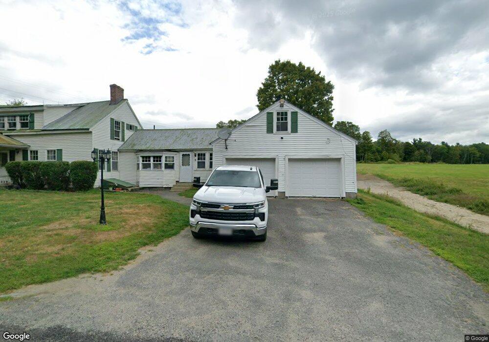
1266 Bug Hill Rd Ashfield, MA 01330
Ashfield NeighborhoodEstimated Value: $391,000 - $537,000
4
Beds
2
Baths
1,569
Sq Ft
$298/Sq Ft
Est. Value
About This Home
This home is located at 1266 Bug Hill Rd, Ashfield, MA 01330 and is currently estimated at $468,047, approximately $298 per square foot. 1266 Bug Hill Rd is a home located in Franklin County with nearby schools including Mohawk Trail Regional High School.
Ownership History
Date
Name
Owned For
Owner Type
Purchase Details
Closed on
May 5, 2017
Sold by
Gilbert & D Roberts Irt
Bought by
Pantermehl Drew N
Current Estimated Value
Home Financials for this Owner
Home Financials are based on the most recent Mortgage that was taken out on this home.
Original Mortgage
$240,000
Outstanding Balance
$200,297
Interest Rate
4.23%
Mortgage Type
New Conventional
Estimated Equity
$267,750
Create a Home Valuation Report for This Property
The Home Valuation Report is an in-depth analysis detailing your home's value as well as a comparison with similar homes in the area
Home Values in the Area
Average Home Value in this Area
Purchase History
| Date | Buyer | Sale Price | Title Company |
|---|---|---|---|
| Pantermehl Drew N | $302,500 | -- |
Source: Public Records
Mortgage History
| Date | Status | Borrower | Loan Amount |
|---|---|---|---|
| Open | Pantermehl Drew N | $240,000 |
Source: Public Records
Tax History
| Year | Tax Paid | Tax Assessment Tax Assessment Total Assessment is a certain percentage of the fair market value that is determined by local assessors to be the total taxable value of land and additions on the property. | Land | Improvement |
|---|---|---|---|---|
| 2025 | $3,769 | $280,043 | $98,143 | $181,900 |
| 2024 | $4,026 | $275,550 | $97,250 | $178,300 |
| 2023 | $3,678 | $208,838 | $79,038 | $129,800 |
| 2022 | $3,452 | $198,629 | $74,929 | $123,700 |
| 2021 | $3,275 | $197,858 | $74,158 | $123,700 |
| 2020 | $3,296 | $197,858 | $74,158 | $123,700 |
| 2019 | $3,243 | $188,995 | $69,695 | $119,300 |
| 2018 | $3,148 | $183,220 | $70,020 | $113,200 |
| 2017 | $2,957 | $182,320 | $69,120 | $113,200 |
| 2016 | $2,839 | $172,696 | $67,496 | $105,200 |
| 2015 | $2,758 | $172,696 | $67,496 | $105,200 |
| 2014 | $2,855 | $176,696 | $63,996 | $112,700 |
Source: Public Records
Map
Nearby Homes
- 220 Hawley Rd
- 0 John Ford Rd Unit 73403157
- 0 John Ford Rd Unit 73403156
- 527 Main St
- 333 Ranney Corner Rd
- 5 Clesson Brook Rd
- 311 Cummington Rd
- 292 E Hawley Rd
- 296 E Main St
- 0 Spruce Corner Rd Unit 73244975
- 240 Beldingville Rd
- 0 Sears Rd Unit 73373850
- 39 Hawley St
- 0 Upper St
- 143 E Buckland Rd
- 10 Maple St
- 0, Lot 7 East Rd
- Lot 3.2 East Rd
- 7 Hog Hollow Rd
- 146 Berkshire Trail W
- 1294 Bug Hill Rd
- 1170 Bug Hill Rd
- 1356 Bug Hill Rd
- 1157 Bug Hill Rd
- 1411 Bug Hill Rd
- 1127 Bug Hill Rd
- 15 Ford Rd
- 1069 Bug Hill Rd
- 51+52 Ford Rd
- 1057 Bug Hill Rd
- 1017 Bug Hill Rd
- 1012 Bug Hill Rd
- 966 Watson Spruce Corner Rd
- 926 Watson Spruce Corner Rd
- 1592 Bug Hill Rd
- 955 Bug Hill Rd
- lot Willis Howes Rd
- 653 Bear Swamp Rd
- 1144 Watson Spruce Corner Rd
- 900 Watson Spruce Corner Rd
Your Personal Tour Guide
Ask me questions while you tour the home.