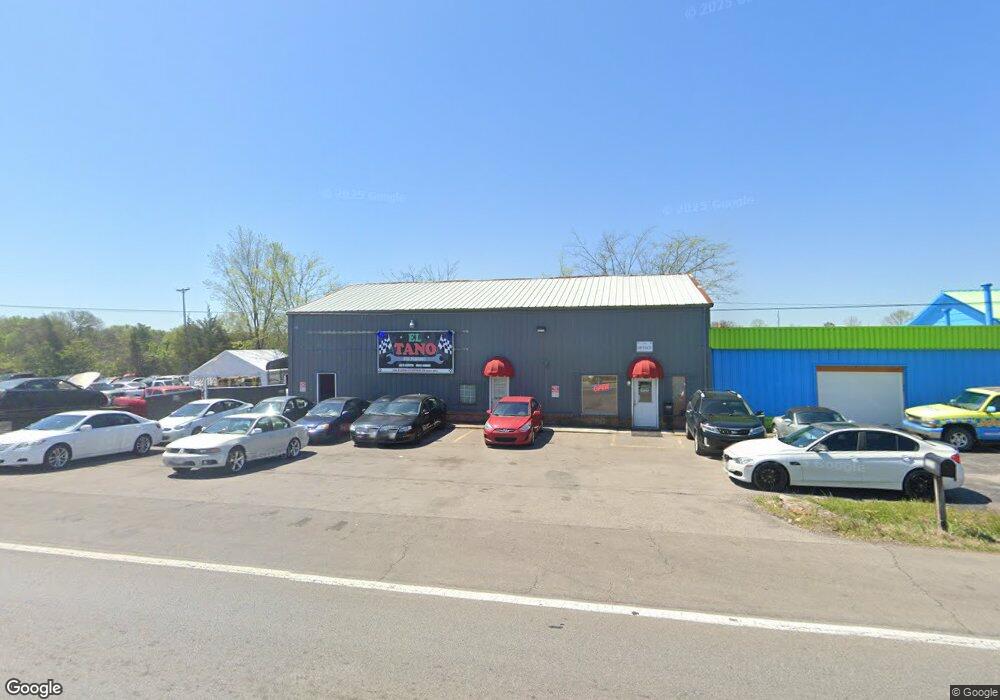
1266 S Lowry St Smyrna, TN 37167
Estimated Value: $831,224
--
Bed
1
Bath
4,046
Sq Ft
$205/Sq Ft
Est. Value
About This Home
This home is located at 1266 S Lowry St, Smyrna, TN 37167 and is currently estimated at $831,224, approximately $205 per square foot. 1266 S Lowry St is a home located in Rutherford County with nearby schools including Stewartsboro Elementary School, Rocky Fork Middle School, and Smyrna High School.
Ownership History
Date
Name
Owned For
Owner Type
Purchase Details
Closed on
May 12, 2023
Sold by
Wolford Leroy H and Wolford Jean G
Bought by
El Tano Auto Service
Current Estimated Value
Home Financials for this Owner
Home Financials are based on the most recent Mortgage that was taken out on this home.
Original Mortgage
$731,000
Outstanding Balance
$700,378
Interest Rate
6.27%
Mortgage Type
Construction
Estimated Equity
$130,846
Create a Home Valuation Report for This Property
The Home Valuation Report is an in-depth analysis detailing your home's value as well as a comparison with similar homes in the area
Home Values in the Area
Average Home Value in this Area
Purchase History
| Date | Buyer | Sale Price | Title Company |
|---|---|---|---|
| El Tano Auto Service | $800,000 | None Listed On Document |
Source: Public Records
Mortgage History
| Date | Status | Borrower | Loan Amount |
|---|---|---|---|
| Open | El Tano Auto Service | $731,000 |
Source: Public Records
Tax History Compared to Growth
Tax History
| Year | Tax Paid | Tax Assessment Tax Assessment Total Assessment is a certain percentage of the fair market value that is determined by local assessors to be the total taxable value of land and additions on the property. | Land | Improvement |
|---|---|---|---|---|
| 2025 | $1,742 | $72,520 | $49,080 | $23,440 |
| 2024 | $1,742 | $72,520 | $49,080 | $23,440 |
| 2023 | $1,742 | $72,520 | $49,080 | $23,440 |
| 2022 | $1,553 | $72,520 | $49,080 | $23,440 |
| 2021 | $1,783 | $61,040 | $37,160 | $23,880 |
| 2020 | $1,783 | $61,040 | $37,160 | $23,880 |
| 2019 | $1,783 | $61,040 | $37,160 | $23,880 |
Source: Public Records
Map
Nearby Homes
- 437 Burton Farms Dr
- 433 Burton Farms Dr
- 429 Burton Farms Dr
- 425 Burton Farms Dr
- 421 Burton Farms Dr
- 119 San Juan Ct
- 2073 Elevation ABC Plan at Burton Farms
- 2282 Elevation ABC Plan at Burton Farms
- 1610 Elevation ABC Plan at Burton Farms
- 1989 Elevation ABC Plan at Burton Farms
- 1824 Elevation ABC Plan at Burton Farms
- 2540 Elevation ABC Plan at Burton Farms
- 1624 Elevation ABC Plan at Burton Farms
- 2151 Elevation ABC Plan at Burton Farms
- 1315 Elevation ABC Plan at Burton Farms
- 2433 Elevation ABC Plan at Burton Farms
- 409 Burton Farms Dr
- 7127 Corner Dr
- 7121 Corner Dr
- 6903 Cooks Ave
- 1260 S Lowry St
- 1268 S Lowry St
- 1261 S Lowry St
- 1294 S Lowry St
- 1289 S Lowry St
- 420 Burton Farms Dr
- 1296 S Lowry St
- 7204 Corner Dr
- 6938 Cooks Ave
- 6934 Cooks Ave
- 1208 S Lowry St
- 6944 Cooks Ave
- 6930 Cooks Ave
- S Lowry St
- 7215 Corner Dr
- 1344 S Lowry St
- 6950 Cooks Ave
- 6924 Cooks Ave
- 203 Rimrock
- 1201 Rimrock Rd