Estimated Value: $297,403 - $444,000
--
Bed
3
Baths
2,626
Sq Ft
$135/Sq Ft
Est. Value
About This Home
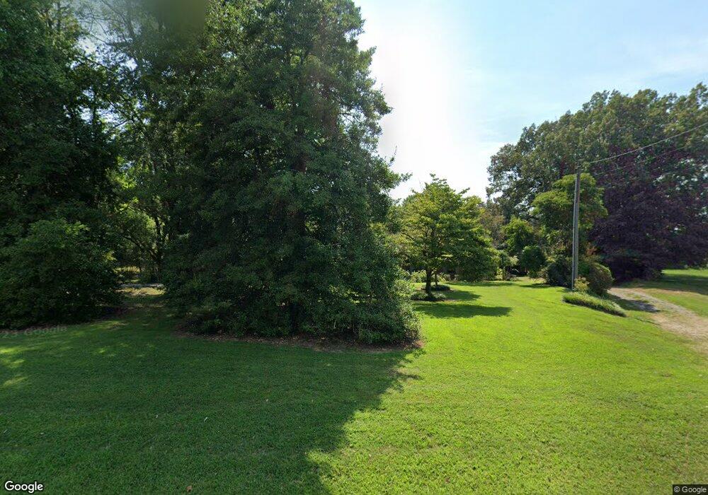
This home is located at 1266 S Main St, Dyer, TN 38330 and is currently estimated at $354,801, approximately $135 per square foot. 1266 S Main St is a home located in Gibson County with nearby schools including Dyer Elementary School and Gibson County High School.
Ownership History
Date
Name
Owned For
Owner Type
Purchase Details
Closed on
Oct 24, 2024
Sold by
Robinson Charles Edward and Patty Ann
Bought by
Charles And Patty Robinson Irrevocable Trust and Robinson
Current Estimated Value
Purchase Details
Closed on
Sep 14, 1976
Purchase Details
Closed on
Mar 31, 1976
Purchase Details
Closed on
Nov 17, 1925
Purchase Details
Closed on
Dec 10, 1921
Purchase Details
Closed on
Dec 29, 1916
Purchase Details
Closed on
Apr 8, 1911
Purchase Details
Closed on
Feb 24, 1905
Create a Home Valuation Report for This Property
The Home Valuation Report is an in-depth analysis detailing your home's value as well as a comparison with similar homes in the area
Home Values in the Area
Average Home Value in this Area
Purchase History
| Date | Buyer | Sale Price | Title Company |
|---|---|---|---|
| Charles And Patty Robinson Irrevocable Trust | -- | None Listed On Document | |
| -- | -- | -- | |
| -- | -- | -- | |
| -- | -- | -- | |
| -- | -- | -- | |
| -- | -- | -- | |
| -- | -- | -- | |
| -- | -- | -- |
Source: Public Records
Tax History Compared to Growth
Tax History
| Year | Tax Paid | Tax Assessment Tax Assessment Total Assessment is a certain percentage of the fair market value that is determined by local assessors to be the total taxable value of land and additions on the property. | Land | Improvement |
|---|---|---|---|---|
| 2025 | $1,603 | $46,250 | $0 | $0 |
| 2024 | $1,603 | $46,250 | $9,475 | $36,775 |
| 2023 | $1,020 | $32,775 | $8,625 | $24,150 |
| 2022 | $997 | $32,775 | $8,625 | $24,150 |
| 2021 | $997 | $32,775 | $8,625 | $24,150 |
| 2020 | $1,630 | $32,775 | $8,625 | $24,150 |
| 2019 | $1,627 | $32,750 | $8,625 | $24,125 |
| 2018 | $1,678 | $33,225 | $7,800 | $25,425 |
| 2017 | $1,612 | $33,225 | $7,800 | $25,425 |
| 2016 | $1,612 | $33,225 | $7,800 | $25,425 |
| 2015 | $1,467 | $33,225 | $7,800 | $25,425 |
| 2014 | $1,467 | $33,200 | $7,800 | $25,400 |
Source: Public Records
Map
Nearby Homes
- 106 Scattered Acres Dr
- Tract 1 Trenton Hwy
- 148 Scattered Acres Loop
- 0 Reed Rd
- 84 Trenton Hwy
- 0 Ernest Paschall Rd Unit 2500074
- 0 Ernest Paschall Rd Unit RRA45339
- 246 Thomas St
- 385 Trenton Hwy
- 342 E Walnut St
- 299 E Walnut St
- 217 Central St
- 154 Elm St
- 354 E Maple St
- 142 S Poplar St
- 139 Peach St
- 163 Monroe St
- 115 Dyer Hwy
- 505 E College St
- 153 New Hope St
- 1279 S Main St
- 109 Scattered Acres Dr
- 124 Scattered Acres Dr
- 123 Scattered Acres Dr
- 133 Scattered Acres Dr
- 134 Scattered Acres Dr
- 1193 S Main St
- 1249 S Main St
- 142 Scattered Acres Dr
- 1183 S Main St
- 1180 S Main St
- 149 Scattered Acres Dr
- 1179 S Main St
- 150 Scattered Acres Dr
- 1172 S Main St
- 107 S Peck Switch Cove
- 1171 S Main St
- 159 Scattered Acres Dr
- 127 S Peck Switch Cove
- 1166 S Main St
