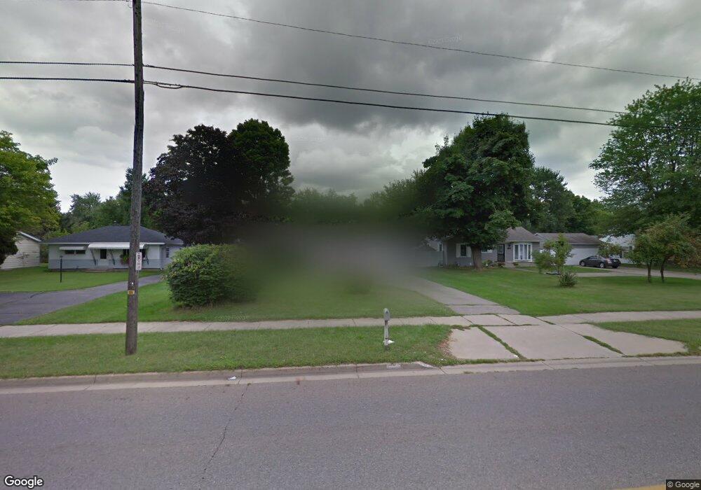
1267 Capital Ave SW Battle Creek, MI 49015
Minges Brook Riverside NeighborhoodEstimated Value: $183,000 - $194,000
3
Beds
2
Baths
1,089
Sq Ft
$171/Sq Ft
Est. Value
About This Home
This home is located at 1267 Capital Ave SW, Battle Creek, MI 49015 and is currently estimated at $186,679, approximately $171 per square foot. 1267 Capital Ave SW is a home located in Calhoun County with nearby schools including Lakeview Middle School, Lakeview High School, and Arbor Academy.
Ownership History
Date
Name
Owned For
Owner Type
Purchase Details
Closed on
Feb 20, 2019
Sold by
Pierce Steven D and Pierce Joan R
Bought by
Pierce Jason and Pierce Brandy
Current Estimated Value
Purchase Details
Closed on
May 16, 2013
Sold by
Pierce Steve and Pierce Steven D
Bought by
Pierce Steven D and Pierce Joan R
Purchase Details
Closed on
Dec 21, 2007
Sold by
Wilson Paul and Wilson Freda A
Bought by
Hsbc Mortgage Services Inc
Purchase Details
Closed on
Apr 19, 2002
Sold by
Barnes Trustee Virgil
Bought by
Wilson Paul and Wilson Freda A
Create a Home Valuation Report for This Property
The Home Valuation Report is an in-depth analysis detailing your home's value as well as a comparison with similar homes in the area
Home Values in the Area
Average Home Value in this Area
Purchase History
| Date | Buyer | Sale Price | Title Company |
|---|---|---|---|
| Pierce Jason | -- | None Available | |
| Pierce Steven D | -- | Attorney | |
| Hsbc Mortgage Services Inc | $81,367 | None Available | |
| Wilson Paul | $88,000 | -- |
Source: Public Records
Tax History Compared to Growth
Tax History
| Year | Tax Paid | Tax Assessment Tax Assessment Total Assessment is a certain percentage of the fair market value that is determined by local assessors to be the total taxable value of land and additions on the property. | Land | Improvement |
|---|---|---|---|---|
| 2025 | -- | $72,100 | $0 | $0 |
| 2024 | $1,642 | $66,934 | $0 | $0 |
| 2023 | $1,870 | $59,557 | $0 | $0 |
| 2022 | $1,483 | $54,394 | $0 | $0 |
| 2021 | $1,821 | $51,937 | $0 | $0 |
| 2020 | $1,802 | $47,511 | $0 | $0 |
| 2019 | $2,355 | $47,334 | $0 | $0 |
| 2018 | $2,355 | $45,395 | $2,860 | $42,535 |
| 2017 | $2,294 | $42,718 | $0 | $0 |
| 2016 | $2,288 | $38,997 | $0 | $0 |
| 2015 | $2,161 | $36,358 | $3,111 | $33,247 |
| 2014 | $2,161 | $34,355 | $3,111 | $31,244 |
Source: Public Records
Map
Nearby Homes
- 117 Meadow Dr
- 1116 Lakeside Dr S
- 1200 Lakeside Dr S
- 620 Meadow Dr
- 618 Jennings Landing
- 0 Jennings Landing
- 239 Brewer Dr S
- V/L Riverside Dr
- 32 Golden Ave
- 175 S Ridgeway Dr
- 160 Lincoln Hill Dr
- 66 Wealthy
- 125 Williams Dr
- 133 Country Club Terrace
- 20 Hiawatha Dr
- 348 S Hills Dr
- 819 Riverside Dr
- 214 Morningside Dr
- 677 Morningside Dr
- 226 Morningside Dr
- 1259 Capital Ave SW
- 1275 Capital Ave SW
- 321 Westfield Dr
- 1251 Capital Ave SW
- 327 Westfield Dr
- 1283 Capital Ave SW
- 333 Westfield Dr
- 309 Westfield Dr
- 1243 Capital Ave SW
- 1291 Capital Ave SW
- 44 Loch Haven Ln
- 339 Westfield Dr
- 1235 Capital Ave SW
- 51 Rock Creek Ln
- 320 Westfield Dr
- 326 Westfield Dr
- 314 Westfield Dr
- 345 Westfield Dr
- 49 Loch Haven Ln
- 332 Westfield Dr