1267 Davy Ln Denison, TX 75020
Estimated Value: $589,000
--
Bed
--
Bath
1,886
Sq Ft
$312/Sq Ft
Est. Value
About This Home
This home is located at 1267 Davy Ln, Denison, TX 75020 and is currently estimated at $589,000, approximately $312 per square foot. 1267 Davy Ln is a home located in Grayson County with nearby schools including Pottsboro Elementary School, Pottsboro Middle School, and Pottsboro High School.
Ownership History
Date
Name
Owned For
Owner Type
Purchase Details
Closed on
Jun 25, 2021
Sold by
Cate Edward Lee
Bought by
Cate Bobbie Peterson
Current Estimated Value
Purchase Details
Closed on
Sep 26, 2006
Sold by
Peterson Bobbie J and Cate Edward Lee
Bought by
Summerville Arthur Frances and Summerville Mary Jo
Purchase Details
Closed on
Sep 30, 2005
Sold by
Carter Carolyn Helms and Weisberg Eric
Bought by
Williams Dwayne and Williams Cherie
Home Financials for this Owner
Home Financials are based on the most recent Mortgage that was taken out on this home.
Original Mortgage
$57,000
Interest Rate
5.76%
Mortgage Type
Purchase Money Mortgage
Create a Home Valuation Report for This Property
The Home Valuation Report is an in-depth analysis detailing your home's value as well as a comparison with similar homes in the area
Home Values in the Area
Average Home Value in this Area
Purchase History
| Date | Buyer | Sale Price | Title Company |
|---|---|---|---|
| Cate Bobbie Peterson | -- | None Available | |
| Summerville Arthur Frances | -- | None Available | |
| Williams Dwayne | -- | -- | |
| Williams Dwayne | -- | -- |
Source: Public Records
Mortgage History
| Date | Status | Borrower | Loan Amount |
|---|---|---|---|
| Previous Owner | Williams Dwayne | $57,000 |
Source: Public Records
Tax History Compared to Growth
Tax History
| Year | Tax Paid | Tax Assessment Tax Assessment Total Assessment is a certain percentage of the fair market value that is determined by local assessors to be the total taxable value of land and additions on the property. | Land | Improvement |
|---|---|---|---|---|
| 2025 | $2,011 | $502,164 | -- | -- |
| 2024 | $6,342 | $456,513 | $0 | $0 |
| 2023 | $2,020 | $415,524 | $0 | $0 |
| 2022 | $5,951 | $377,128 | $0 | $0 |
| 2021 | $601 | $259,387 | $71,250 | $188,137 |
| 2020 | $0 | $247,912 | $67,500 | $180,412 |
| 2019 | $3,579 | $212,355 | $45,000 | $167,355 |
| 2018 | $3,307 | $193,936 | $33,750 | $160,186 |
| 2017 | $0 | $170,899 | $17,250 | $153,649 |
| 2016 | $2,788 | $173,822 | $25,125 | $148,697 |
| 2015 | $0 | $149,202 | $25,125 | $124,077 |
| 2014 | -- | $131,670 | $25,125 | $106,545 |
Source: Public Records
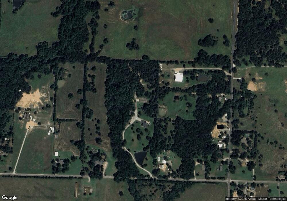
Map
Nearby Homes
- 000 Davy Ln
- 2828 Preston Rd
- 801 Well Rd
- 2255 Davy Ln
- 4 Fawn Hollow Trail
- 226 Well Rd
- 1 Farm To Market 120
- 5586 W Fm 120
- 2217 S Peachtree Ct
- 8 Summit Oaks Cir
- 4318 Peachtree Ln
- 2212 Cold Creek Dr
- 4316 Peachtree Ln
- 25.742 Acres Farm To Market Road 131
- TBD Farm To Market Road 131
- 2421 Farm To Market Road 131
- 48 Summit Oaks Cir
- 565 Oasis Dr
- 1026 S Fm 131
- 1035 Lakewood Rd