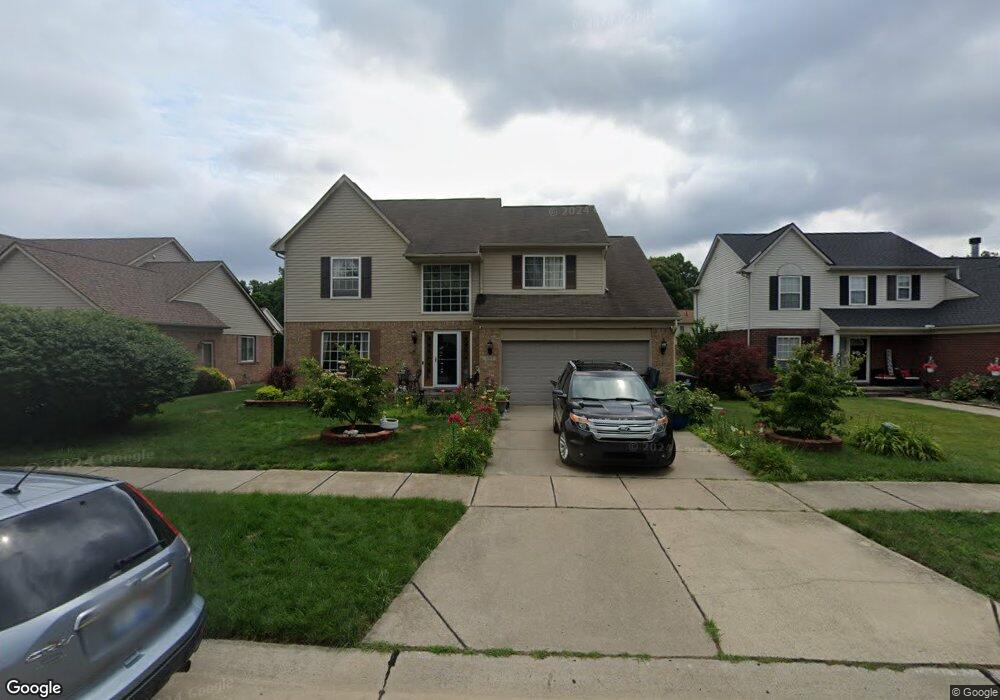
1267 Michael Dr Westland, MI 48186
Estimated Value: $351,103 - $406,000
4
Beds
3
Baths
2,234
Sq Ft
$166/Sq Ft
Est. Value
About This Home
This home is located at 1267 Michael Dr, Westland, MI 48186 and is currently estimated at $371,776, approximately $166 per square foot. 1267 Michael Dr is a home located in Wayne County with nearby schools including Alexander Hamilton Elementary School, Adams Middle School, and Wayne Memorial High School.
Ownership History
Date
Name
Owned For
Owner Type
Purchase Details
Closed on
Aug 2, 2023
Sold by
Altamimi Nuha
Bought by
Altamimi Nuha and Bader N
Current Estimated Value
Purchase Details
Closed on
Sep 15, 2021
Sold by
Hamza Rima and Altamimi Nuha
Bought by
Altamimi Nuha
Purchase Details
Closed on
Jun 6, 2013
Sold by
Kaiser Rizwan and Ali Mona
Bought by
Hamza Rima and Altamimi Nuha A
Purchase Details
Closed on
Dec 15, 2000
Sold by
Galaxy Builders Inc
Bought by
Kaiser Rizwan
Create a Home Valuation Report for This Property
The Home Valuation Report is an in-depth analysis detailing your home's value as well as a comparison with similar homes in the area
Home Values in the Area
Average Home Value in this Area
Purchase History
| Date | Buyer | Sale Price | Title Company |
|---|---|---|---|
| Altamimi Nuha | -- | None Listed On Document | |
| Altamimi Nuha | -- | None Available | |
| Hamza Rima | $153,000 | Title One Inc | |
| Kaiser Rizwan | $202,900 | -- |
Source: Public Records
Tax History
| Year | Tax Paid | Tax Assessment Tax Assessment Total Assessment is a certain percentage of the fair market value that is determined by local assessors to be the total taxable value of land and additions on the property. | Land | Improvement |
|---|---|---|---|---|
| 2025 | $3,755 | $178,300 | $0 | $0 |
| 2024 | $3,682 | $167,500 | $0 | $0 |
| 2023 | $3,516 | $157,300 | $0 | $0 |
| 2022 | $4,080 | $141,900 | $0 | $0 |
| 2021 | $3,977 | $130,500 | $0 | $0 |
| 2020 | $3,934 | $132,000 | $0 | $0 |
| 2019 | $3,791 | $123,700 | $0 | $0 |
| 2018 | $2,893 | $98,300 | $0 | $0 |
| 2017 | $1,342 | $90,100 | $0 | $0 |
| 2016 | $3,680 | $91,000 | $0 | $0 |
| 2015 | $7,161 | $77,990 | $0 | $0 |
| 2013 | $7,930 | $79,300 | $0 | $0 |
| 2012 | $3,547 | $84,060 | $0 | $0 |
Source: Public Records
Map
Nearby Homes
- 33707 Glen St
- 1645 Regene St
- 1620 Regene St
- 816 S Schuman St
- 2012 Dryden St
- 34551 Hiveley St
- 631 Forest St
- 33823 Hiveley St
- 1909 S Christine
- 2103 Elbridge Ct
- 2112 Elbridge Ct
- 547 S Hawthorne St
- 33240 Parkwood St
- 33443 Unicorn Ct
- 357 S Byfield St
- 451 Darwin St
- 1015 Easley Dr
- 318 S Wildwood St
- 2204 Ellsworth St
- 0000 Delton Ct
- 1287 Michael Dr
- 1247 Michael Dr
- 1262 Craig Dr
- 1227 Michael Dr
- 1282 Craig Dr
- 34274 Hazelwood Dr
- 1315 Craig Dr
- 1312 Michael Dr
- 34262 Hazelwood Dr
- 1222 Craig Dr
- 1272 Michael Dr
- 1252 Michael Dr
- 1207 Michael Dr
- 1292 Michael Dr
- 34250 Hazelwood Dr
- 1202 Craig Dr
- 1212 Michael Dr
- 1187 Michael Dr
- 1182 Craig Dr
- 1255 Craig Dr
Your Personal Tour Guide
Ask me questions while you tour the home.