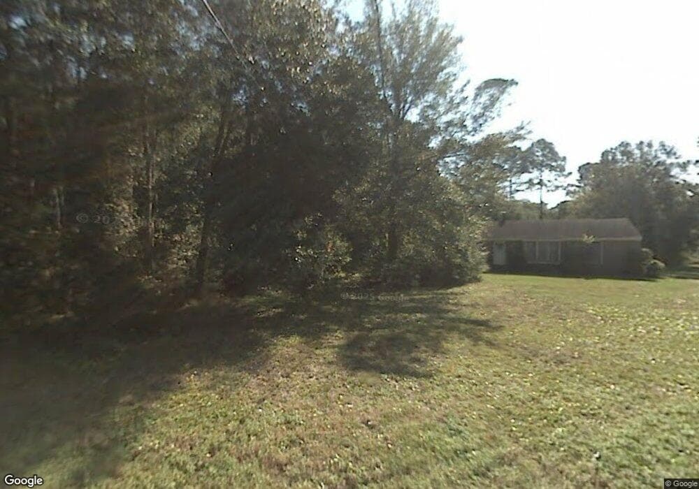
1267 Red Gate Rd Charleston, SC 29412
James Island NeighborhoodEstimated Value: $520,285 - $589,000
3
Beds
1
Bath
1,415
Sq Ft
$399/Sq Ft
Est. Value
About This Home
This home is located at 1267 Red Gate Rd, Charleston, SC 29412 and is currently estimated at $565,071, approximately $399 per square foot. 1267 Red Gate Rd is a home located in Charleston County with nearby schools including Harbor View Elementary School, Camp Road Middle, and James Island Charter High School.
Ownership History
Date
Name
Owned For
Owner Type
Purchase Details
Closed on
Aug 12, 2015
Sold by
Rufus P Llc
Bought by
Dietrich Michael and Millstein Jenny
Current Estimated Value
Purchase Details
Closed on
Jun 13, 2012
Sold by
Dietrich Michael and Millstein Jenny
Bought by
Rufus P Llc
Purchase Details
Closed on
Jun 24, 2011
Sold by
Jeremy Island
Bought by
Dietrich Michael and Millstein Jenny
Home Financials for this Owner
Home Financials are based on the most recent Mortgage that was taken out on this home.
Original Mortgage
$145,200
Interest Rate
4.63%
Mortgage Type
New Conventional
Purchase Details
Closed on
May 16, 2008
Sold by
Dupre Andrew H
Bought by
Jeremy Island
Create a Home Valuation Report for This Property
The Home Valuation Report is an in-depth analysis detailing your home's value as well as a comparison with similar homes in the area
Home Values in the Area
Average Home Value in this Area
Purchase History
| Date | Buyer | Sale Price | Title Company |
|---|---|---|---|
| Dietrich Michael | -- | -- | |
| Rufus P Llc | -- | -- | |
| Dietrich Michael | $181,500 | -- | |
| Jeremy Island | -- | -- |
Source: Public Records
Mortgage History
| Date | Status | Borrower | Loan Amount |
|---|---|---|---|
| Previous Owner | Dietrich Michael | $145,200 |
Source: Public Records
Tax History Compared to Growth
Tax History
| Year | Tax Paid | Tax Assessment Tax Assessment Total Assessment is a certain percentage of the fair market value that is determined by local assessors to be the total taxable value of land and additions on the property. | Land | Improvement |
|---|---|---|---|---|
| 2024 | $4,449 | $15,160 | $0 | $0 |
| 2023 | $4,449 | $15,160 | $0 | $0 |
| 2022 | $4,102 | $15,160 | $0 | $0 |
| 2021 | $4,052 | $15,160 | $0 | $0 |
| 2020 | $4,023 | $15,160 | $0 | $0 |
| 2019 | $3,681 | $13,190 | $0 | $0 |
| 2017 | $3,519 | $13,190 | $0 | $0 |
| 2016 | $3,406 | $13,190 | $0 | $0 |
| 2015 | $3,253 | $13,190 | $0 | $0 |
| 2014 | $2,942 | $0 | $0 | $0 |
| 2011 | -- | $0 | $0 | $0 |
Source: Public Records
Map
Nearby Homes
- 1333 Teal Ave
- 1344 Teal Ave
- 1134 Hillman St
- 1508 Swamp Fox Ln
- 1249 Stone Post Rd
- 1129 Landsdowne Dr
- 1174 Fort Johnson Rd
- 1158 Wyndham Rd
- 1129 Camp Rd
- 1422 Wexford Sound Dr
- 1135 Cottage Rd
- 1137 Oceanview Rd
- 1568 Harborsun Dr
- 1173 Sea Eagle Watch
- 1370 Tidal Creek Cove
- 1335 Camp Rd
- 1143 Sea Eagle Watch
- 1011 Five Oaks Dr
- 1445 Swamp Angel Ct
- 1393 Secessionville Rd
- 13 Ptarmigan St
- 0 Red Gate Rd
- 1 Red Gate Rd
- 1271 Red Gate Rd
- 1233 Sea Aire Dr
- 1309 Sea Aire Dr
- 18 Laurel Leaf Ln
- 1256 Mill Point Rd
- 22 Laurel Leaf Ln
- 20 Laurel Leaf Ln
- 16 Laurel Leaf Ln
- 1229 Sea Aire Dr
- 1290 Ptarmigan St
- 0 Sea Aire Dr Unit 40
- 1248 Sea Aire Dr
- 1242 Sea Aire Dr
- 14 Laurel Leaf Ln
- 1238 Sea Aire Dr
- 1225 Sea Aire Dr
- 17 Laurel Leaf Ln