12670 Flint Bottom Rd Burlington, IA 52601
Estimated Value: $253,000 - $318,000
3
Beds
3
Baths
1,440
Sq Ft
$202/Sq Ft
Est. Value
About This Home
This home is located at 12670 Flint Bottom Rd, Burlington, IA 52601 and is currently estimated at $290,299, approximately $201 per square foot. 12670 Flint Bottom Rd is a home located in Des Moines County with nearby schools including Burlington Community High School, Burlington Notre Dame Catholic Elementary School, and Burlington Christian School.
Ownership History
Date
Name
Owned For
Owner Type
Purchase Details
Closed on
Sep 18, 2008
Sold by
Glendening Kevin W and Glendening Jennifer
Bought by
Hamma David and Hamma Andrea
Current Estimated Value
Home Financials for this Owner
Home Financials are based on the most recent Mortgage that was taken out on this home.
Original Mortgage
$150,000
Outstanding Balance
$99,914
Interest Rate
6.55%
Mortgage Type
Future Advance Clause Open End Mortgage
Estimated Equity
$190,385
Create a Home Valuation Report for This Property
The Home Valuation Report is an in-depth analysis detailing your home's value as well as a comparison with similar homes in the area
Home Values in the Area
Average Home Value in this Area
Purchase History
| Date | Buyer | Sale Price | Title Company |
|---|---|---|---|
| Hamma David | $25,000 | None Available |
Source: Public Records
Mortgage History
| Date | Status | Borrower | Loan Amount |
|---|---|---|---|
| Open | Hamma David | $150,000 |
Source: Public Records
Tax History Compared to Growth
Tax History
| Year | Tax Paid | Tax Assessment Tax Assessment Total Assessment is a certain percentage of the fair market value that is determined by local assessors to be the total taxable value of land and additions on the property. | Land | Improvement |
|---|---|---|---|---|
| 2025 | $2,966 | $251,300 | $32,800 | $218,500 |
| 2024 | $2,966 | $223,900 | $32,800 | $191,100 |
| 2023 | $2,822 | $223,900 | $32,800 | $191,100 |
| 2022 | $3,024 | $211,500 | $32,800 | $178,700 |
| 2021 | $3,024 | $211,500 | $32,800 | $178,700 |
| 2020 | $3,220 | $211,500 | $32,800 | $178,700 |
| 2019 | $2,936 | $211,500 | $32,800 | $178,700 |
| 2018 | $2,958 | $180,800 | $31,800 | $149,000 |
| 2017 | $2,916 | $174,600 | $0 | $0 |
| 2016 | $2,846 | $174,600 | $0 | $0 |
| 2015 | $2,846 | $174,600 | $0 | $0 |
| 2014 | $2,900 | $169,300 | $0 | $0 |
Source: Public Records
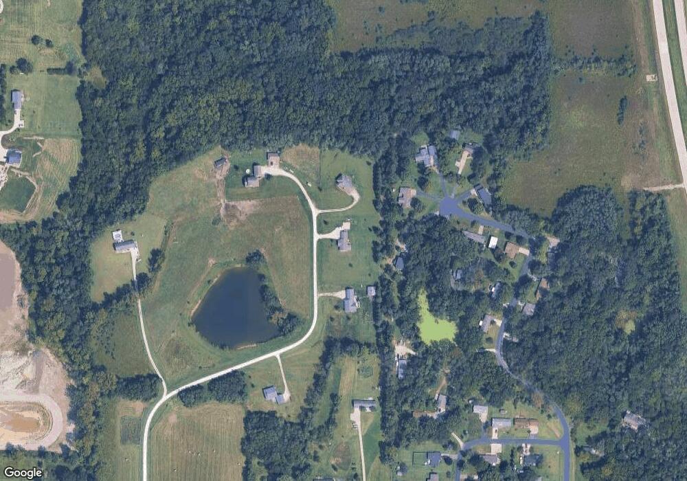
Map
Nearby Homes
- 12251 Celestia Dr
- 12731 U S 61
- 11475 Plank Rd
- 13087 Cedar Hills Dr
- 13186 Cedar Hills Dr
- 11738 Greenwood Dr
- 11779 Greenwood Dr
- 11161 Iroquois Rd
- 10591 Rolling Hills Dr
- 2544 Surrey Rd
- 2917 Woodland Dr
- 11047 137th Ave
- 11000 Wildlife Lakes Dr
- 10976 Wood Duck Cove Dr
- 0 Hwy 61 Unit 23351978
- 1913 Racine Ave
- 2826 Sunnyside Ave
- 220 Summer St
- 2801 Sunnyside Ave
- 2832 Lesylvia St
- 12476 Flint Bottom Rd
- 12494 Flint Bottom Rd
- 12336 Celestia Dr
- 12295 Celestia Dr
- 12175 Celestia Dr
- 12352 Celestia Dr
- 12283 Celestia Dr
- 12498 Flint Bottom Rd
- 12209 Celestia Dr
- 12324 Celestia Dr
- 12187 Celestia Dr
- 12348 Celestia Dr
- 12348 Flint Bottom Rd
- 12458 Flint Bottom Rd
- 12101 Flint Valley Dr
- 12099 Flint Valley Dr
- 12194 Celestia Dr
- 12113 Flint Valley Dr
- 12212 Celestia Dr
- 12268 Celestia Dr