12677 Nicklaus Ln Unit 10 Tustin, CA 92782
Tustin Ranch NeighborhoodEstimated Value: $998,000 - $1,087,000
3
Beds
2
Baths
1,676
Sq Ft
$616/Sq Ft
Est. Value
About This Home
This home is located at 12677 Nicklaus Ln Unit 10, Tustin, CA 92782 and is currently estimated at $1,032,262, approximately $615 per square foot. 12677 Nicklaus Ln Unit 10 is a home located in Orange County with nearby schools including Tustin Ranch Elementary School, Pioneer Middle School, and Arnold O. Beckman High School.
Ownership History
Date
Name
Owned For
Owner Type
Purchase Details
Closed on
Jan 13, 2000
Sold by
Venturanza Del Verde Llc
Bought by
Wagner David J and Wagner Barbara J
Current Estimated Value
Home Financials for this Owner
Home Financials are based on the most recent Mortgage that was taken out on this home.
Original Mortgage
$273,950
Interest Rate
8.25%
Create a Home Valuation Report for This Property
The Home Valuation Report is an in-depth analysis detailing your home's value as well as a comparison with similar homes in the area
Home Values in the Area
Average Home Value in this Area
Purchase History
| Date | Buyer | Sale Price | Title Company |
|---|---|---|---|
| Wagner David J | $266,000 | Fidelity National Title Co |
Source: Public Records
Mortgage History
| Date | Status | Borrower | Loan Amount |
|---|---|---|---|
| Previous Owner | Wagner David J | $273,950 |
Source: Public Records
Tax History Compared to Growth
Tax History
| Year | Tax Paid | Tax Assessment Tax Assessment Total Assessment is a certain percentage of the fair market value that is determined by local assessors to be the total taxable value of land and additions on the property. | Land | Improvement |
|---|---|---|---|---|
| 2025 | $4,163 | $408,827 | $151,638 | $257,189 |
| 2024 | $4,163 | $400,811 | $148,664 | $252,147 |
| 2023 | $4,066 | $392,952 | $145,749 | $247,203 |
| 2022 | $4,444 | $385,248 | $142,892 | $242,356 |
| 2021 | $4,343 | $377,695 | $140,091 | $237,604 |
| 2020 | $4,282 | $373,823 | $138,655 | $235,168 |
| 2019 | $4,198 | $366,494 | $135,937 | $230,557 |
| 2018 | $4,107 | $359,308 | $133,271 | $226,037 |
| 2017 | $3,988 | $352,263 | $130,658 | $221,605 |
| 2016 | $3,914 | $345,356 | $128,096 | $217,260 |
| 2015 | $3,870 | $340,169 | $126,172 | $213,997 |
| 2014 | $3,819 | $333,506 | $123,700 | $209,806 |
Source: Public Records
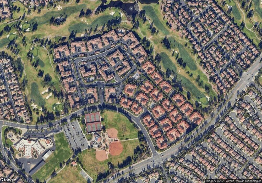
Map
Nearby Homes
- 2832 Ballesteros Ln
- 2827 Player Ln
- 12709 Trent Jones Ln
- 10 Calais
- 12910 Mackenzie Dr
- 2800 Keller Dr Unit 55
- 2800 Keller Dr Unit 110
- 2800 Keller Dr Unit 197
- 2800 Keller Dr Unit 80
- 47 Robinson Dr Unit 69
- 2528 Aquasanta
- 2960 Champion Way Unit 609
- 2960 Champion Way Unit 1208
- 2960 Champion Way Unit 1814
- 2960 Champion Way Unit 1006
- 45 Avondale Unit 26
- 2346 Tryall Unit 78
- 12646 Doral Unit 68
- 2495 Tequestra
- 12605 Doral Unit 49
- 12675 Nicklaus Ln
- 12679 Nicklaus Ln
- 12681 Nicklaus Ln Unit 8
- 12673 Nicklaus Ln Unit 13
- 12683 Nicklaus Ln Unit 7
- 12689 Nicklaus Ln Unit 4
- 12691 Nicklaus Ln Unit 3
- 12685 Nicklaus Ln
- 12636 Nicklaus Ln
- 12687 Nicklaus Ln
- 12634 Nicklaus Ln
- 12632 Nicklaus Ln
- 2855 Ballesteros Ln Unit 269
- 2859 Ballesteros Ln
- 2857 Ballesteros Ln
- 12630 Nicklaus Ln Unit 10
- 2851 Ballesteros Ln Unit 270
- 12614 Nicklaus Ln Unit 1
- 12628 Nicklaus Ln
- 2853 Ballesteros Ln