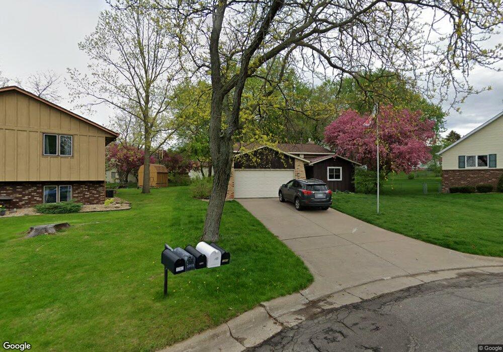
1268 1268 Harmon Ct West St. Paul, MN 55118
Estimated Value: $371,378 - $385,000
3
Beds
2
Baths
1,130
Sq Ft
$335/Sq Ft
Est. Value
About This Home
This home is located at 1268 1268 Harmon Ct, West St. Paul, MN 55118 and is currently estimated at $379,095, approximately $335 per square foot. 1268 1268 Harmon Ct is a home located in Dakota County with nearby schools including Moreland Arts & Health Sciences Magnet School, Heritage E-STEM Magnet School, and Two Rivers High School.
Ownership History
Date
Name
Owned For
Owner Type
Purchase Details
Closed on
Jul 29, 2020
Sold by
Burke Kathleen M
Bought by
Palkert Lucas
Current Estimated Value
Home Financials for this Owner
Home Financials are based on the most recent Mortgage that was taken out on this home.
Original Mortgage
$286,150
Interest Rate
2.8%
Mortgage Type
New Conventional
Purchase Details
Closed on
Oct 26, 2011
Sold by
Miller Faye L
Bought by
Burke William J and Burke Kathleen M
Create a Home Valuation Report for This Property
The Home Valuation Report is an in-depth analysis detailing your home's value as well as a comparison with similar homes in the area
Home Values in the Area
Average Home Value in this Area
Purchase History
| Date | Buyer | Sale Price | Title Company |
|---|---|---|---|
| Palkert Lucas | $295,000 | Titlesmart Inc | |
| Burke William J | $179,000 | Burnet Title |
Source: Public Records
Mortgage History
| Date | Status | Borrower | Loan Amount |
|---|---|---|---|
| Previous Owner | Palkert Lucas | $286,150 |
Source: Public Records
Tax History Compared to Growth
Tax History
| Year | Tax Paid | Tax Assessment Tax Assessment Total Assessment is a certain percentage of the fair market value that is determined by local assessors to be the total taxable value of land and additions on the property. | Land | Improvement |
|---|---|---|---|---|
| 2024 | $4,110 | $326,500 | $89,600 | $236,900 |
| 2023 | $4,110 | $337,600 | $95,000 | $242,600 |
| 2022 | $3,756 | $329,000 | $94,600 | $234,400 |
| 2021 | $3,656 | $294,200 | $82,300 | $211,900 |
| 2020 | $3,440 | $285,100 | $78,300 | $206,800 |
| 2019 | $3,237 | $262,900 | $74,600 | $188,300 |
| 2018 | $3,066 | $238,300 | $69,800 | $168,500 |
| 2017 | $2,759 | $235,700 | $66,400 | $169,300 |
| 2016 | $2,587 | $207,100 | $60,400 | $146,700 |
| 2015 | $2,588 | $176,509 | $53,286 | $123,223 |
| 2014 | -- | $170,950 | $49,226 | $121,724 |
| 2013 | -- | $154,382 | $44,523 | $109,859 |
Source: Public Records
Map
Nearby Homes
- 176 Logan Ave W
- 69 Langer Cir
- 1213 Smith Ave S
- 1450 Bidwell St Unit 110
- 1468 Charlton St
- 1172 Ottawa Ave
- 10 Logan Ave E
- 1053 Smith Ave S
- 1076 Humboldt Ave
- 8 Dorset Rd
- 962 Smith Ave S
- 1164 Dodd Rd
- 1620 Charlton St Unit 109
- 1174 Dodd Rd
- 242 Annapolis St W
- 1251 Macarthur Ave
- 967 Cherokee Ave
- 934 Ottawa Ave
- 955 Cherokee Ave
- 203 Moreland Ave E
- 1269 1269 Harmon Ct
- 1262 Harmon Ct
- 1262 Harmon Ct
- 1268 Harmon Ct
- 1272 Harmon Ct
- 1257 Harmon Ct
- 1254 Harmon Ct
- 1257 Harmon Ct
- 1257 Harmon Ave
- 1269 Harmon Ct
- 1265 Harmon Ct
- 1249 Harmon Ct
- 1246 Harmon Ct
- 1267 Allen Ave
- 1263 Allen Ave
- 232 Moreland Ave W
- 1255 Allen Ave
- 1273 Allen Ave
- 225 Logan Ave W
- 1276 Charlton St