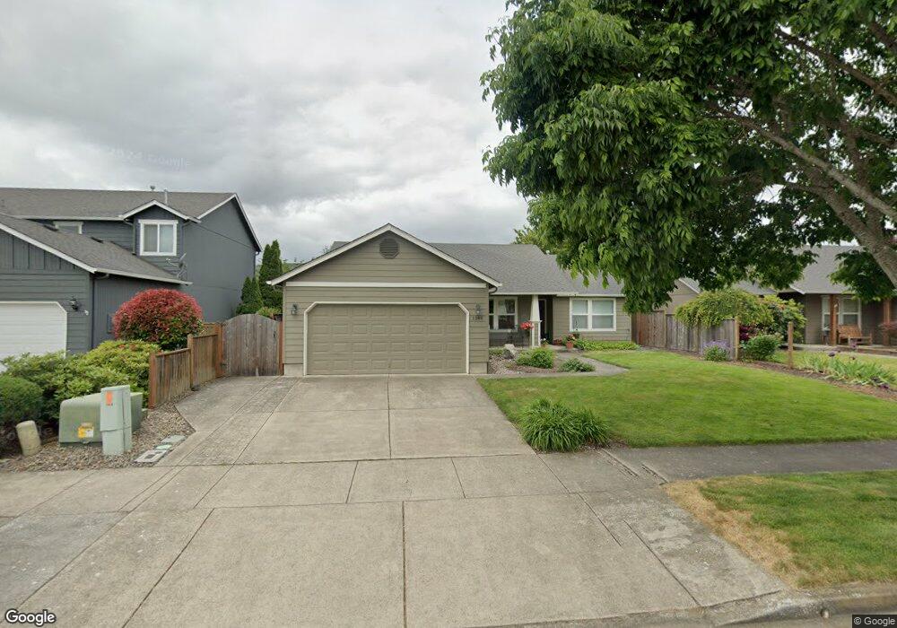
1268 Brower Ave Eugene, OR 97402
Bethel NeighborhoodEstimated Value: $416,000 - $461,000
4
Beds
2
Baths
1,502
Sq Ft
$292/Sq Ft
Est. Value
About This Home
This home is located at 1268 Brower Ave, Eugene, OR 97402 and is currently estimated at $438,021, approximately $291 per square foot. 1268 Brower Ave is a home located in Lane County with nearby schools including Prairie Mountain School and Willamette High School.
Ownership History
Date
Name
Owned For
Owner Type
Purchase Details
Closed on
Jan 19, 2024
Sold by
Zuhlke Paul D
Bought by
Zuhlke Kimberly J
Current Estimated Value
Purchase Details
Closed on
Dec 2, 2003
Sold by
Hayden Enterprises Inc
Bought by
Zuhlke Paul David and Zuhlke Kimberly Jean
Home Financials for this Owner
Home Financials are based on the most recent Mortgage that was taken out on this home.
Original Mortgage
$72,000
Interest Rate
6.04%
Mortgage Type
Purchase Money Mortgage
Create a Home Valuation Report for This Property
The Home Valuation Report is an in-depth analysis detailing your home's value as well as a comparison with similar homes in the area
Home Values in the Area
Average Home Value in this Area
Purchase History
| Date | Buyer | Sale Price | Title Company |
|---|---|---|---|
| Zuhlke Kimberly J | -- | None Listed On Document | |
| Zuhlke Paul David | $152,753 | Cascade Title Co |
Source: Public Records
Mortgage History
| Date | Status | Borrower | Loan Amount |
|---|---|---|---|
| Previous Owner | Zuhlke Paul David | $72,000 |
Source: Public Records
Tax History
| Year | Tax Paid | Tax Assessment Tax Assessment Total Assessment is a certain percentage of the fair market value that is determined by local assessors to be the total taxable value of land and additions on the property. | Land | Improvement |
|---|---|---|---|---|
| 2025 | $4,246 | $244,131 | -- | -- |
| 2024 | $4,139 | $237,021 | -- | -- |
| 2023 | $4,139 | $230,118 | $0 | $0 |
| 2022 | $3,853 | $223,416 | $0 | $0 |
| 2021 | $3,772 | $216,909 | $0 | $0 |
| 2020 | $3,662 | $210,592 | $0 | $0 |
| 2019 | $3,482 | $204,459 | $0 | $0 |
| 2018 | $3,385 | $192,722 | $0 | $0 |
| 2017 | $3,235 | $192,722 | $0 | $0 |
| 2016 | $3,152 | $187,109 | $0 | $0 |
| 2015 | $3,090 | $181,659 | $0 | $0 |
| 2014 | $3,043 | $176,368 | $0 | $0 |
Source: Public Records
Map
Nearby Homes
- 5711 Bainbridge Rd
- 5725 Bainbridge Rd
- 5737 Bainbridge Rd
- 5716 Bainbridge Rd
- 5738 Bainbridge Rd
- 5742 Bainbridge Rd
- 5854 Avalon St
- 5879 Bainbridge St
- 5717 Durst St
- 5783 Durst St
- 5782 Durst St
- 1083 Legacy St
- 1047 Legacy St
- 1065 Legacy St
- 5298 Wales Dr
- 977 Legacy St
- 978 Legacy St
- 958 Legacy St
- 1068 Legacy St
- 1036 Legacy St
- 1286 Brower Ave
- 1246 Brower Ave
- 1293 Mccarty Way Unit 127
- 1311 Mccarty Way
- 1234 Brower Ave
- 1329 Mccarty Way Unit 129
- 1267 Mccarty Way
- 1267 Mccarty Way
- 5660 Austin Way
- 5678 Austin Way
- 1233 Mccarty Way
- 1263 Brower Ave
- 1351 Mccarty Way
- 1351 Mccarty Way Unit 130
- 1281 Brower Ave
- 1222 Brower Ave
- 5644 Austin Way
- 1229 Brower Ave
- 1209 Mccarty Way Unit 124
- 1219 Brower Ave
Your Personal Tour Guide
Ask me questions while you tour the home.