1268 N 222nd Rd Baldwin City, KS 66006
Estimated Value: $477,000 - $677,498
5
Beds
4
Baths
3,072
Sq Ft
$190/Sq Ft
Est. Value
About This Home
This home is located at 1268 N 222nd Rd, Baldwin City, KS 66006 and is currently estimated at $583,499, approximately $189 per square foot. 1268 N 222nd Rd is a home located in Douglas County with nearby schools including Baldwin Elementary Primary Center, Baldwin Elementary Intermediate Center, and Baldwin Junior High School.
Ownership History
Date
Name
Owned For
Owner Type
Purchase Details
Closed on
Sep 29, 2020
Sold by
Carrier Brook J and Carrier Martha Pearce
Bought by
Shope Mark and Shope Sarah
Current Estimated Value
Home Financials for this Owner
Home Financials are based on the most recent Mortgage that was taken out on this home.
Original Mortgage
$418,000
Outstanding Balance
$371,111
Interest Rate
2.8%
Mortgage Type
New Conventional
Estimated Equity
$212,388
Purchase Details
Closed on
Aug 13, 2013
Sold by
Friend Stevens M and Friend Jean M
Bought by
Carrier Brook J
Home Financials for this Owner
Home Financials are based on the most recent Mortgage that was taken out on this home.
Original Mortgage
$277,877
Interest Rate
4.34%
Mortgage Type
VA
Purchase Details
Closed on
May 9, 2008
Sold by
Scott M Eudaly and Willey Revocabl Karen L
Bought by
Friend Stevens M and Friend Jean M
Home Financials for this Owner
Home Financials are based on the most recent Mortgage that was taken out on this home.
Original Mortgage
$199,200
Interest Rate
5.86%
Mortgage Type
Purchase Money Mortgage
Create a Home Valuation Report for This Property
The Home Valuation Report is an in-depth analysis detailing your home's value as well as a comparison with similar homes in the area
Home Values in the Area
Average Home Value in this Area
Purchase History
| Date | Buyer | Sale Price | Title Company |
|---|---|---|---|
| Shope Mark | -- | Kansas Secured Title | |
| Carrier Brook J | -- | Kansas Secured Title | |
| Friend Stevens M | -- | Executive Title Inc |
Source: Public Records
Mortgage History
| Date | Status | Borrower | Loan Amount |
|---|---|---|---|
| Open | Shope Mark | $418,000 | |
| Previous Owner | Carrier Brook J | $277,877 | |
| Previous Owner | Friend Stevens M | $199,200 | |
| Previous Owner | Friend Stevens M | $10,000 |
Source: Public Records
Tax History Compared to Growth
Tax History
| Year | Tax Paid | Tax Assessment Tax Assessment Total Assessment is a certain percentage of the fair market value that is determined by local assessors to be the total taxable value of land and additions on the property. | Land | Improvement |
|---|---|---|---|---|
| 2025 | $8,443 | $73,651 | $10,465 | $63,186 |
| 2024 | $8,443 | $72,894 | $10,235 | $62,659 |
| 2023 | $7,740 | $64,690 | $9,545 | $55,145 |
| 2022 | $7,342 | $59,202 | $9,545 | $49,657 |
| 2021 | $6,377 | $50,601 | $8,959 | $41,642 |
| 2020 | $5,243 | $41,520 | $8,959 | $32,561 |
| 2019 | $5,125 | $40,544 | $7,740 | $32,804 |
| 2018 | $4,961 | $39,033 | $7,015 | $32,018 |
| 2017 | $4,814 | $36,921 | $7,015 | $29,906 |
| 2016 | $4,681 | $36,391 | $5,900 | $30,491 |
| 2015 | -- | $36,234 | $5,900 | $30,334 |
| 2014 | -- | $32,201 | $3,715 | $28,486 |
Source: Public Records
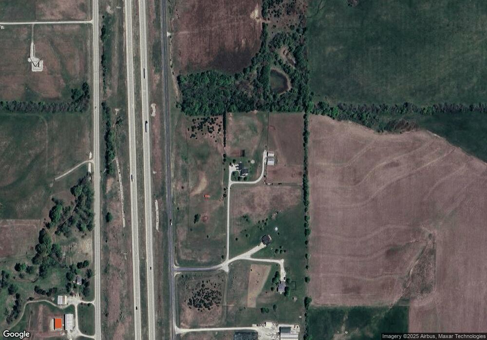
Map
Nearby Homes
- 137 E 1400 Rd
- 137 E 1400th Rd
- 1140 N 100th Rd
- 1077 N 150 Rd
- 1246 N 1 Rd
- 1580 N 100 Rd
- 1560 N 100 Rd
- 124 E 1550 Rd
- 1580 N 100 Rd Unit Parcel 3
- 1560 N 100 Rd Unit Parcel 2
- 124 E 1550 Rd Unit Parcel 1
- 1246 & Parcel 4 N 1 Rd
- RDP2 N 400 Rd
- 1447 & 1449 N 150 Rd
- Lot 35 Settler Ln
- Lot 27 Wagon Rd
- Lot 26 Wagon Rd
- Lot 24 Wagon Rd
- Lot 23 Wagon Rd
- Lot 8 Trail View Cir
- 0 E 1260 Rd
- 1270 N 222 Rd
- 1270 N 222nd Rd
- Land 59 Hwy
- 262 E 1260 Rd
- 1271 N 222nd Rd
- 227 E 1250th Rd
- 227 E 1250th Rd
- 227 E 1250th Rd
- 227 E 1250th Rd
- 227 E 1250th Rd
- 1266 N 200 Rd
- 1266 N 200th Rd
- 271 E 1250 Rd
- 271 E 1250th Rd
- 261 E 1250th Rd
- 1288 N 200th Rd
- 1244 N 200th Rd
- Lot4 56 59 Junction N A
- Lot2 56 59 Junction N A