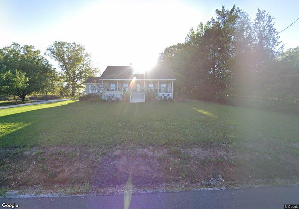
1269 Pinkerton Rd West Point, MS 39773
Estimated Value: $200,000 - $420,000
3
Beds
--
Bath
2,288
Sq Ft
$121/Sq Ft
Est. Value
About This Home
This home is located at 1269 Pinkerton Rd, West Point, MS 39773 and is currently estimated at $276,842, approximately $120 per square foot. 1269 Pinkerton Rd is a home located in Clay County with nearby schools including East Side Elementary School, West Clay Elementary School, and Church Hill Elementary School.
Ownership History
Date
Name
Owned For
Owner Type
Purchase Details
Closed on
Aug 26, 2020
Sold by
Pierce Joyce D
Bought by
Pierce Robert Dewayne and Pierce Terri Michelle
Current Estimated Value
Purchase Details
Closed on
Oct 14, 2016
Sold by
Pierce Robert Dewayne and Pierce Terri Michelle
Bought by
Pierce Robert Dewayne and Pierce Terri Michelle
Create a Home Valuation Report for This Property
The Home Valuation Report is an in-depth analysis detailing your home's value as well as a comparison with similar homes in the area
Home Values in the Area
Average Home Value in this Area
Purchase History
| Date | Buyer | Sale Price | Title Company |
|---|---|---|---|
| Pierce Robert Dewayne | -- | -- | |
| Pierce Robert Dewayne | -- | -- |
Source: Public Records
Tax History Compared to Growth
Tax History
| Year | Tax Paid | Tax Assessment Tax Assessment Total Assessment is a certain percentage of the fair market value that is determined by local assessors to be the total taxable value of land and additions on the property. | Land | Improvement |
|---|---|---|---|---|
| 2024 | $849 | $17,764 | $660 | $17,104 |
| 2023 | $1,455 | $15,461 | $660 | $14,801 |
| 2022 | $705 | $15,461 | $660 | $14,801 |
| 2021 | $489 | $11,553 | $660 | $10,893 |
| 2020 | $488 | $11,553 | $660 | $10,893 |
| 2019 | $452 | $11,452 | $660 | $10,792 |
| 2018 | $427 | $11,452 | $660 | $10,792 |
| 2017 | $427 | $11,452 | $660 | $10,792 |
| 2016 | $407 | $11,452 | $660 | $10,792 |
| 2015 | $396 | $10,841 | $660 | $10,181 |
| 2014 | $240 | $10,841 | $660 | $10,181 |
| 2013 | $240 | $10,841 | $660 | $10,181 |
Source: Public Records
Map
Nearby Homes
- 0 Dogwood Dr (Lot 21) Unit 24-279
- 0 Dogwood Dr (Lot 20) Unit 24-278
- 0 Dogwood Dr (Lot 14) Unit 24-277
- 0 Dogwood Dr
- 0 Pinkerton Rd
- 84 Waverly Dr
- 0 Clisby Rd
- 12 Clisby Rd
- 4 Clisby Rd
- 6 Clisby Rd
- 5 Clisby Rd
- 13 Clisby Rd
- 43 Garden Cove
- 145 Waverly Dr
- 714 Herman Shirley Rd
- 223 Waverly Dr
- 249 Waverly Dr
- 0 Waverly Dr
- Lot 31 Waverly Dr
- 64 Waverly Dr
- 2191 Pinkerton Rd
- 2531 Pinkerton Rd
- 1815 Pinkerton Rd
- 1406 Pinkerton Rd
- 2120 Pinkerton Rd
- 1185 Pinkerton Rd
- 3853 Clisby Rd
- 4908 Clisby Rd
- 4742 Waverly Rd
- 4791 Waverly Rd
- 4753 Waverly Rd
- 338 Pinkerton Rd
- 5013 Waverly Rd
- 397 Pinkerton Rd
- 490 Dogwood Dr
- 464 Dogwood Dr
- 516 Dogwood Dr
- 380 Pinkerton Rd
- 540 Dogwood Dr
- 505 Dogwood Dr