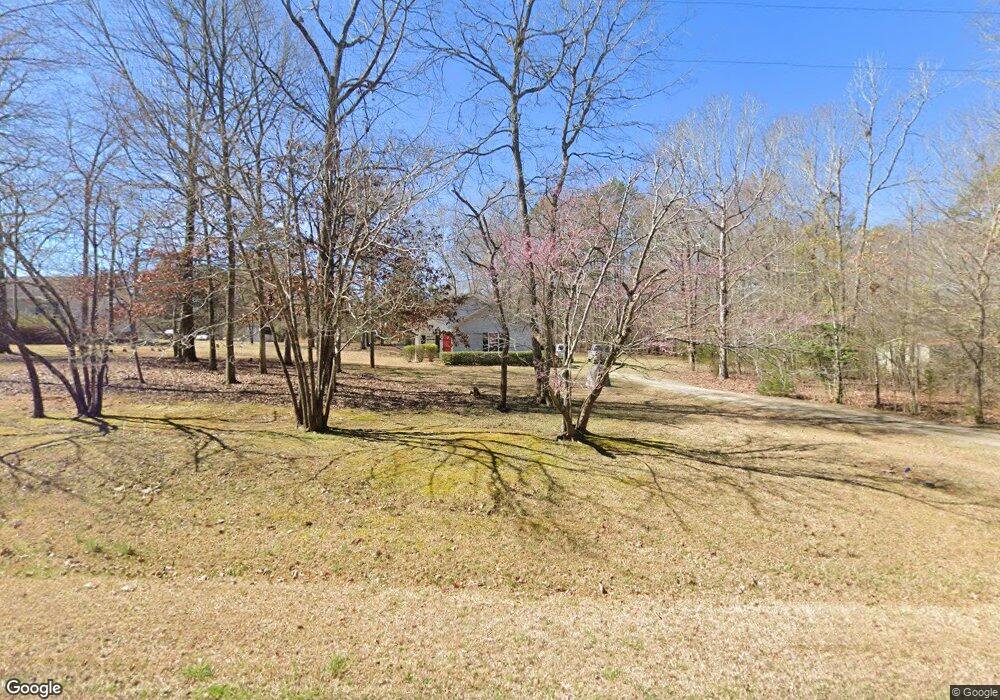
1269 Wells Creek Dr Lincolnton, GA 30817
Estimated Value: $184,106 - $263,000
3
Beds
2
Baths
1,095
Sq Ft
$205/Sq Ft
Est. Value
About This Home
This home is located at 1269 Wells Creek Dr, Lincolnton, GA 30817 and is currently estimated at $224,527, approximately $205 per square foot. 1269 Wells Creek Dr is a home located in Lincoln County with nearby schools including Lincoln County Elementary School, Lincoln County Middle School, and Lincoln County High School.
Ownership History
Date
Name
Owned For
Owner Type
Purchase Details
Closed on
Mar 15, 2019
Sold by
Royal David E
Bought by
Royal Family Liv Tr
Current Estimated Value
Purchase Details
Closed on
Jan 12, 2006
Sold by
Gerrin Helen M
Bought by
Royal David E and Royal Merris
Purchase Details
Closed on
Nov 11, 1999
Sold by
Mishow George Britton
Bought by
Gerrin Helen M
Purchase Details
Closed on
Apr 30, 1980
Sold by
Corbett James Weldon
Bought by
Mishow George Britton
Create a Home Valuation Report for This Property
The Home Valuation Report is an in-depth analysis detailing your home's value as well as a comparison with similar homes in the area
Home Values in the Area
Average Home Value in this Area
Purchase History
| Date | Buyer | Sale Price | Title Company |
|---|---|---|---|
| Royal Family Liv Tr | -- | -- | |
| Royal David E | $90,000 | -- | |
| Gerrin Helen M | $12,000 | -- | |
| Mishow George Britton | $7,000 | -- |
Source: Public Records
Tax History Compared to Growth
Tax History
| Year | Tax Paid | Tax Assessment Tax Assessment Total Assessment is a certain percentage of the fair market value that is determined by local assessors to be the total taxable value of land and additions on the property. | Land | Improvement |
|---|---|---|---|---|
| 2025 | $1,541 | $50,920 | $2,520 | $48,400 |
| 2024 | $1,456 | $46,840 | $2,520 | $44,320 |
| 2023 | $1,083 | $41,200 | $2,520 | $38,680 |
| 2022 | $1,207 | $39,560 | $2,520 | $37,040 |
| 2021 | $1,217 | $36,200 | $2,520 | $33,680 |
| 2020 | $1,145 | $28,840 | $2,520 | $26,320 |
| 2019 | $1,149 | $28,840 | $2,520 | $26,320 |
| 2018 | $906 | $28,840 | $2,520 | $26,320 |
| 2017 | $896 | $28,520 | $2,520 | $26,000 |
| 2016 | $1,066 | $28,520 | $2,520 | $26,000 |
| 2015 | -- | $28,520 | $2,520 | $26,000 |
| 2014 | -- | $28,520 | $2,520 | $26,000 |
| 2013 | -- | $28,520 | $2,520 | $26,000 |
Source: Public Records
Map
Nearby Homes
- 1085 Lake Dr
- 1051 Lake Dr
- 1179 Lakeside Dr
- 1129 Lakeside Dr
- 1036 Longleaf Way
- 1-3 Long Cove Dr
- 6-3 Long Cove Dr
- 8-3 Long Cove Dr
- 5-3 Long Cove Dr
- 4-3 Long Cove Dr
- 3-3 Long Cove Dr
- 2-3 Long Cove Dr
- 1016 Hidden Lake Ct
- 7-3 Long Cove
- 9-3 Long Cove
- 1164 Sally Ann Ct
- 1080 Serenity Pointe Dr
- 1128 Whitstone Rd
- 1131 Whitstone Rd
- 1063 Fleming Lk Ct
- 1271 Wells Creek Dr
- 1258 Wells Creek Dr
- 1278 Wells Creek Dr
- 1325 Wells Creek Dr
- 1250 Wells Creek Dr
- 1290 Wells Creek Dr
- 1283 Wells Creek Dr
- 1195 Wells Creek Dr
- 1240 Wells Creek Dr
- 1300 Wells Creek Dr
- 1175 Wells Creek Dr
- 1222 Wells Creek Dr
- 1200 Wells Creek Dr
- 1218 Wells Creek Dr
- 1176 Wells Creek Dr
- 1168 Wells Creek Dr
- 1143 Wells Creek Dr
- 1320 Wells Creek Dr
- 1371 Wells Creek Dr
- 1338 Wells Creek Dr