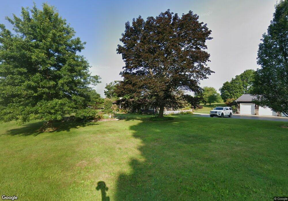
12690 Silverthorn Rd Edinboro, PA 16412
Estimated Value: $358,474 - $384,000
4
Beds
1
Bath
1,728
Sq Ft
$214/Sq Ft
Est. Value
About This Home
This home is located at 12690 Silverthorn Rd, Edinboro, PA 16412 and is currently estimated at $369,369, approximately $213 per square foot. 12690 Silverthorn Rd is a home with nearby schools including Edinboro Elementary School, James W. Parker Middle School, and General McLane High School.
Ownership History
Date
Name
Owned For
Owner Type
Purchase Details
Closed on
Sep 6, 2024
Sold by
Nelson Andy and Nelson Jeffrey B
Bought by
Nelson Andy
Current Estimated Value
Purchase Details
Closed on
Oct 23, 2012
Sold by
Nelson Boyd E and Nelson Catherine K
Bought by
Nelson Jeffrey B and Nelson Kristina M
Home Financials for this Owner
Home Financials are based on the most recent Mortgage that was taken out on this home.
Original Mortgage
$115,000
Interest Rate
3.43%
Mortgage Type
New Conventional
Create a Home Valuation Report for This Property
The Home Valuation Report is an in-depth analysis detailing your home's value as well as a comparison with similar homes in the area
Home Values in the Area
Average Home Value in this Area
Purchase History
| Date | Buyer | Sale Price | Title Company |
|---|---|---|---|
| Nelson Andy | -- | None Listed On Document | |
| Nelson Jeffrey B | -- | None Listed On Document | |
| Nelson Jeffrey B | $200,000 | None Available |
Source: Public Records
Mortgage History
| Date | Status | Borrower | Loan Amount |
|---|---|---|---|
| Previous Owner | Nelson Jeffrey B | $115,000 |
Source: Public Records
Tax History Compared to Growth
Tax History
| Year | Tax Paid | Tax Assessment Tax Assessment Total Assessment is a certain percentage of the fair market value that is determined by local assessors to be the total taxable value of land and additions on the property. | Land | Improvement |
|---|---|---|---|---|
| 2025 | $3,904 | $171,060 | $56,200 | $114,860 |
| 2024 | $3,780 | $171,060 | $56,200 | $114,860 |
| 2023 | $3,558 | $171,060 | $56,200 | $114,860 |
| 2022 | $3,455 | $171,060 | $56,200 | $114,860 |
| 2021 | $3,411 | $171,060 | $56,200 | $114,860 |
| 2020 | $3,368 | $171,060 | $56,200 | $114,860 |
| 2019 | $3,346 | $171,060 | $56,200 | $114,860 |
| 2018 | $3,274 | $171,060 | $56,200 | $114,860 |
| 2017 | $3,274 | $171,060 | $56,200 | $114,860 |
| 2016 | $4,037 | $171,060 | $56,200 | $114,860 |
| 2015 | $3,994 | $171,060 | $56,200 | $114,860 |
| 2014 | $1,782 | $171,060 | $56,200 | $114,860 |
Source: Public Records
Map
Nearby Homes
- 2001 Washington Towne Blvd
- 12851 Fry Rd
- 0 Marketplace Dr Unit 148448
- 0 Fry Rd
- 0 6n Route Unit 187309
- 0 Beach Ave Extension Unit 1682668
- 5732 Obed Heights Dr
- 12356 Culbertson Dr
- 0 Ymca Dr
- 5453 Woodlawn Dr
- 10135 Pennsylvania 98
- 13194 Capp Rd
- 0 Sherrod Hill #13 Rd
- 0 Sherrod Hill #15 Rd
- 0 Gibson Hill #14 Rd
- 5241 Tarbell Rd
- 214 Maple St
- 101 Beau Dr
- 15954 Parsons Ln
- 12191 Skyview Dr
- 12691 Silverthorn Rd
- 12640 Silverthorn Rd
- 6450 Sherrod Hill Rd
- 12570 Silverthorn Rd
- 6130 Sherrod Hill Rd
- 12540 Silverthorn Rd
- 12551 Silverthorn Rd
- 6051 Sherrod Hill Rd
- 12740 Wetsell Ridge Rd
- 12741 Wetsell Ridge Rd
- 6010 Sherrod Hill Rd
- 6581 Sherrod Hill Rd
- 5971 Sherrod Hill Rd
- 6589 Sherrod Hill Rd
- 12770 Wetsell Ridge Rd
- 12380 Silverthorn Rd
- 5941 Sherrod Hill Rd
- 6665 Sherrod Hill Rd
- 12864 Wetsell Ridge Rd
- 5930 Sherrod Hill Rd