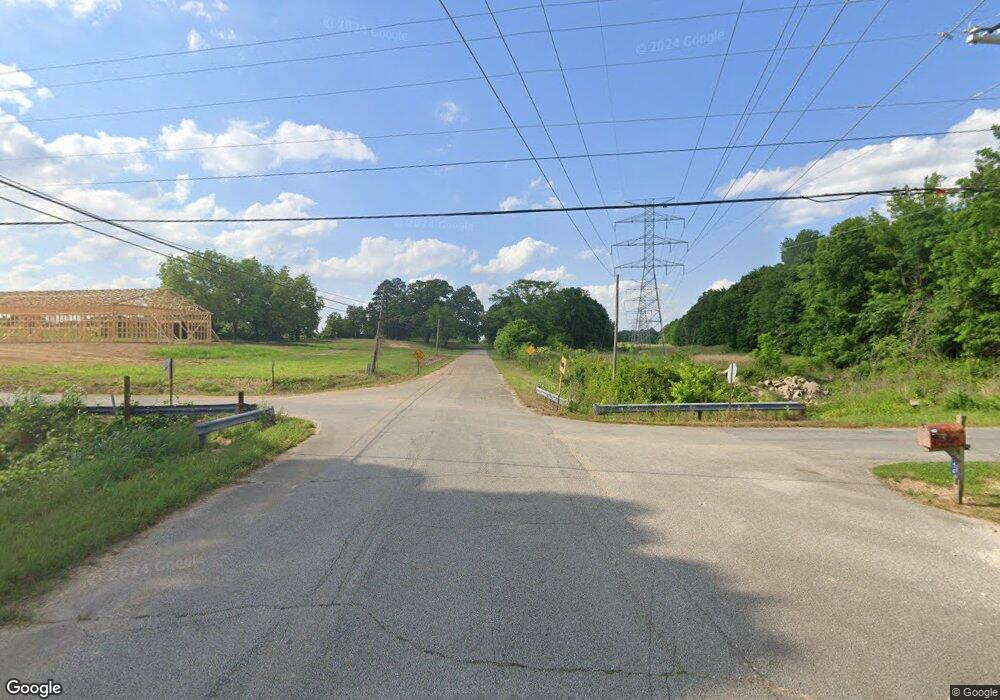
12697 Highway 45 Martin, TN 38237
Estimated Value: $127,000 - $182,000
--
Bed
1
Bath
1,144
Sq Ft
$133/Sq Ft
Est. Value
About This Home
This home is located at 12697 Highway 45, Martin, TN 38237 and is currently estimated at $151,735, approximately $132 per square foot. 12697 Highway 45 is a home located in Weakley County with nearby schools including Unity Christian School.
Ownership History
Date
Name
Owned For
Owner Type
Purchase Details
Closed on
Feb 28, 2024
Sold by
Barner Doug and Barner Debbie
Bought by
Barner Investments Llc
Current Estimated Value
Purchase Details
Closed on
Oct 1, 2015
Sold by
Mcdurmon Mark Evan
Bought by
Barner Doug and Barner Debbie
Home Financials for this Owner
Home Financials are based on the most recent Mortgage that was taken out on this home.
Original Mortgage
$52,418
Interest Rate
3.93%
Mortgage Type
New Conventional
Purchase Details
Closed on
Mar 15, 1996
Bought by
Mcdurmon Doug and Mcdurmon Marietta
Create a Home Valuation Report for This Property
The Home Valuation Report is an in-depth analysis detailing your home's value as well as a comparison with similar homes in the area
Home Values in the Area
Average Home Value in this Area
Purchase History
| Date | Buyer | Sale Price | Title Company |
|---|---|---|---|
| Barner Investments Llc | -- | None Listed On Document | |
| Barner Doug | $50,000 | -- | |
| Mcdurmon Doug | $4,000 | -- |
Source: Public Records
Mortgage History
| Date | Status | Borrower | Loan Amount |
|---|---|---|---|
| Previous Owner | Barner Doug | $52,418 |
Source: Public Records
Tax History Compared to Growth
Tax History
| Year | Tax Paid | Tax Assessment Tax Assessment Total Assessment is a certain percentage of the fair market value that is determined by local assessors to be the total taxable value of land and additions on the property. | Land | Improvement |
|---|---|---|---|---|
| 2024 | $463 | $33,775 | $9,650 | $24,125 |
| 2023 | $463 | $33,775 | $9,650 | $24,125 |
| 2022 | $333 | $16,900 | $7,100 | $9,800 |
| 2021 | $333 | $16,900 | $7,100 | $9,800 |
| 2020 | $333 | $16,900 | $7,100 | $9,800 |
| 2019 | $333 | $16,900 | $7,100 | $9,800 |
| 2018 | $333 | $16,900 | $7,100 | $9,800 |
| 2017 | $346 | $16,225 | $6,175 | $10,050 |
| 2016 | $346 | $16,225 | $0 | $0 |
| 2015 | $345 | $16,207 | $0 | $0 |
| 2014 | $345 | $16,207 | $0 | $0 |
Source: Public Records
Map
Nearby Homes
- 137 Haygood Rd
- 297 Stover Rd
- 16 Oakfield Dr
- 12276 Highway 45
- 148 Parish Road (Tract 6)
- 148 Parish Road (Tract 4)
- 148 Parrish Road (Tract 3)
- 828 N Lindell St
- 826 N Lindell St
- 151 Cherokee Dr
- 146 Maywood Dr
- 124 Cherokee Dr
- 0 N Lindell St Unit RRA38831
- 0 N Lindell St Unit 176005
- 0 N Lindell St Unit RRA45211
- 0 N Lindell St Unit RRA45193
- 0 N Lindell St
- 78 Smith St
- 0 Fulton St
- 141 Oak St
- 12677 Highway 45
- 12677 Highway 45
- 12714 Highway 45
- 12676 Highway 45
- 12728 Highway 45
- 12742 Highway 45
- 12658 Highway 45
- 12756 Highway 45
- 12656 Highway 45
- 12656 Highway 45
- 12762 Highway 45
- 12629 Highway 45
- 12654 Highway 45
- 12654 Highway 45
- 12774 Highway 45
- 278 Sheltie Rd
- 12618 Highway 45
- 12784 Fulton Highway 45
- 12784 Fulton Hwy 45
- 12784 Highway 45
