127 280th St West Branch, IA 52358
Estimated Value: $406,000 - $783,000
3
Beds
4
Baths
3,062
Sq Ft
$202/Sq Ft
Est. Value
About This Home
This home is located at 127 280th St, West Branch, IA 52358 and is currently estimated at $618,858, approximately $202 per square foot. 127 280th St is a home with nearby schools including Hoover Elementary School, West Branch Middle School, and West Branch High School.
Ownership History
Date
Name
Owned For
Owner Type
Purchase Details
Closed on
Nov 6, 2025
Sold by
Walker Johnathan and Walker Jennifer
Bought by
Wfl Trust
Current Estimated Value
Purchase Details
Closed on
Jul 26, 2022
Sold by
Moore Concepts Llc
Bought by
Ploseria Properties Llc
Purchase Details
Closed on
Apr 5, 2017
Sold by
Linden Grove Investments Inc
Bought by
Slach Ray and Slach Nancy
Create a Home Valuation Report for This Property
The Home Valuation Report is an in-depth analysis detailing your home's value as well as a comparison with similar homes in the area
Home Values in the Area
Average Home Value in this Area
Purchase History
| Date | Buyer | Sale Price | Title Company |
|---|---|---|---|
| Wfl Trust | -- | None Listed On Document | |
| Ploseria Properties Llc | $185,000 | -- | |
| Slach Ray | -- | None Available |
Source: Public Records
Tax History Compared to Growth
Tax History
| Year | Tax Paid | Tax Assessment Tax Assessment Total Assessment is a certain percentage of the fair market value that is determined by local assessors to be the total taxable value of land and additions on the property. | Land | Improvement |
|---|---|---|---|---|
| 2024 | $8,710 | $714,200 | $99,900 | $614,300 |
| 2023 | $8,122 | $680,560 | $99,900 | $580,660 |
| 2022 | $7,924 | $582,870 | $70,310 | $512,560 |
| 2021 | $7,574 | $582,870 | $70,310 | $512,560 |
| 2020 | $3,944 | $518,110 | $62,500 | $455,610 |
| 2019 | $190 | $14,540 | $0 | $0 |
| 2018 | $186 | $14,540 | $0 | $0 |
| 2017 | $194 | $13,850 | $0 | $0 |
| 2016 | $98 | $7,010 | $0 | $0 |
| 2015 | $42 | $3,000 | $0 | $0 |
| 2014 | $42 | $3,000 | $0 | $0 |
Source: Public Records
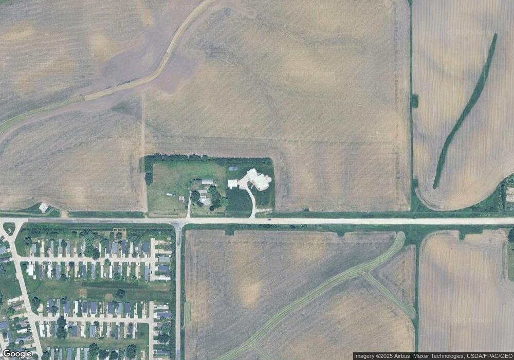
Map
Nearby Homes
- 10 Bradley Ln Unit AB10
- 63 Eisenhower St Unit GB63
- T.B.D. 275th St
- 521 N 4th St Unit Louise Court Condos
- 557 N 4th St
- 121 Northridge Dr Unit 121-139
- 426 N 1st St
- 120 N Downey St
- 168 290th St
- 609 W Orange St
- 611 Riley Ln
- 173 Hilltop Dr
- 316 S Maple St
- Lot 17 Meadows Subdivision Part 5
- 360 Cookson Dr
- 401 S 2nd St
- 1908 Charles Ave Lot 2
- 719 Sullivan St
- 1912 Charles Ave Lot 3
- 314 Sycamore Dr
- 22 Bradley Ln Unit AC22
- 12 Bradley Ln Unit AB12
- 23 Bradley Ln Unit AC23
- 62 Eisenhower St Unit GB62
- 8 Bradley Ln Unit AA8
- 95 Patton Dr Unit BC95
- 27 Bradley Ln Unit AC27
- 28 Bradley Ln Unit AC28
- 94 Marshall Ave Unit DB94
- 30 Bradley Ln Unit AD30
- 31 Bradley Ln
- 57 Eisenhower St Unit GA57
- 3 Bradley Ln Unit AA3
- 88 Marshall Ave Unit DA88
- 78 Eisenhower St Unit GC78
- 104 Marshall Ave Unit DC104
- 80 Eisenhower St Unit GD80
- 84 Marshall Ave Unit DA84
- 108 Marshall Ave Unit DC108
- 800 Prairie View Dr