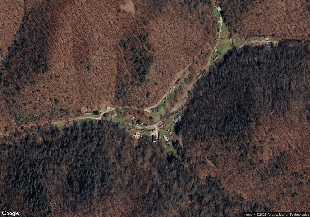
127 Aarons Creek Ranger, WV 25557
Estimated Value: $125,348
2
Beds
1
Bath
1,431
Sq Ft
$88/Sq Ft
Est. Value
About This Home
This home is located at 127 Aarons Creek, Ranger, WV 25557 and is currently estimated at $125,348, approximately $87 per square foot. 127 Aarons Creek is a home with nearby schools including Lincoln County High School.
Create a Home Valuation Report for This Property
The Home Valuation Report is an in-depth analysis detailing your home's value as well as a comparison with similar homes in the area
Home Values in the Area
Average Home Value in this Area
Tax History Compared to Growth
Tax History
| Year | Tax Paid | Tax Assessment Tax Assessment Total Assessment is a certain percentage of the fair market value that is determined by local assessors to be the total taxable value of land and additions on the property. | Land | Improvement |
|---|---|---|---|---|
| 2024 | $297 | $43,920 | $11,160 | $32,760 |
| 2023 | $297 | $43,920 | $11,160 | $32,760 |
| 2022 | $295 | $43,620 | $11,160 | $32,460 |
| 2021 | $311 | $44,940 | $11,160 | $33,780 |
| 2020 | $316 | $45,360 | $11,160 | $34,200 |
| 2019 | $315 | $45,240 | $11,040 | $34,200 |
| 2018 | $289 | $43,140 | $11,160 | $31,980 |
| 2017 | $291 | $43,320 | $11,100 | $32,220 |
| 2016 | $295 | $43,620 | $10,980 | $32,640 |
| 2015 | $149 | $31,980 | $10,800 | $21,180 |
| 2014 | $138 | $31,140 | $10,320 | $20,820 |
Source: Public Records
Map
Nearby Homes
- 0 Mcclellan Hwy Unit 278676
- 3884 Mcclellan Hwy
- 139 & 143 9 Mile Rd
- 0 Mcclellan Hwy
- 0-1 Dalton Branch Little Harts Creek Rd
- 0 McComas Branch Rd Unit Lot WP001 22409735
- 1093 Rockhouse Branch
- 14 Leander Way
- Rt 64 Upton Creek Rd
- 572 Mcclellan Hwy
- 11 Corvette Dr
- 4484 Mcclellan Hwy
- 1602 Trough Fork Rd
- 000 Sand Gap Rd
- Rt 68 Rt 68 3 Rear
- 4603 Mcclellan Hwy
- 9 Ferrellsburg Ln
- 213 Greenshoal Rd
- 335 Big Ugly Ck
- 0 Parsoner Creek Rd