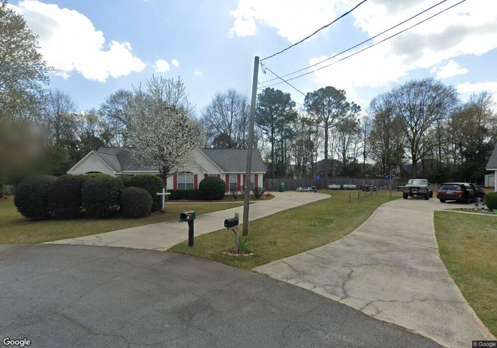
127 Alan Ct Macon, GA 31216
Estimated Value: $248,000 - $264,000
3
Beds
2
Baths
1,596
Sq Ft
$159/Sq Ft
Est. Value
About This Home
This home is located at 127 Alan Ct, Macon, GA 31216 and is currently estimated at $253,534, approximately $158 per square foot. 127 Alan Ct is a home located in Bibb County with nearby schools including Heard Elementary School, Rutland Middle School, and Rutland High School.
Ownership History
Date
Name
Owned For
Owner Type
Purchase Details
Closed on
May 31, 2023
Sold by
Earls Ruby Annette
Bought by
Earls Ruby Annette and Earls Richard A
Current Estimated Value
Purchase Details
Closed on
Dec 10, 2010
Sold by
Lee Ian Michael and Lee Heather Ray
Bought by
Earls Ruby Annette
Home Financials for this Owner
Home Financials are based on the most recent Mortgage that was taken out on this home.
Original Mortgage
$88,000
Interest Rate
4.31%
Mortgage Type
New Conventional
Purchase Details
Closed on
Feb 25, 2003
Bought by
Lee Ian and Ray Heather S
Purchase Details
Closed on
May 1, 1998
Purchase Details
Closed on
Feb 12, 1998
Create a Home Valuation Report for This Property
The Home Valuation Report is an in-depth analysis detailing your home's value as well as a comparison with similar homes in the area
Home Values in the Area
Average Home Value in this Area
Purchase History
| Date | Buyer | Sale Price | Title Company |
|---|---|---|---|
| Earls Ruby Annette | -- | None Listed On Document | |
| Earls Ruby Annette | $128,000 | None Available | |
| Lee Ian | $116,000 | -- | |
| -- | $96,000 | -- | |
| -- | $11,500 | -- |
Source: Public Records
Mortgage History
| Date | Status | Borrower | Loan Amount |
|---|---|---|---|
| Previous Owner | Earls Ruby Annette | $88,000 |
Source: Public Records
Tax History Compared to Growth
Tax History
| Year | Tax Paid | Tax Assessment Tax Assessment Total Assessment is a certain percentage of the fair market value that is determined by local assessors to be the total taxable value of land and additions on the property. | Land | Improvement |
|---|---|---|---|---|
| 2025 | $2,093 | $92,164 | $6,720 | $85,444 |
| 2024 | $2,241 | $88,246 | $6,720 | $81,526 |
| 2023 | $1,801 | $70,903 | $6,720 | $64,183 |
| 2022 | $2,420 | $69,895 | $6,017 | $63,878 |
| 2021 | $2,258 | $69,895 | $6,017 | $63,878 |
| 2020 | $2,214 | $57,017 | $5,416 | $51,601 |
| 2019 | $1,747 | $44,632 | $5,416 | $39,216 |
| 2018 | $2,696 | $41,966 | $4,814 | $37,152 |
| 2017 | $1,572 | $41,966 | $4,814 | $37,152 |
| 2016 | $1,452 | $41,966 | $4,814 | $37,152 |
| 2015 | $2,055 | $41,966 | $4,814 | $37,152 |
| 2014 | $720 | $44,030 | $4,814 | $39,216 |
Source: Public Records
Map
Nearby Homes