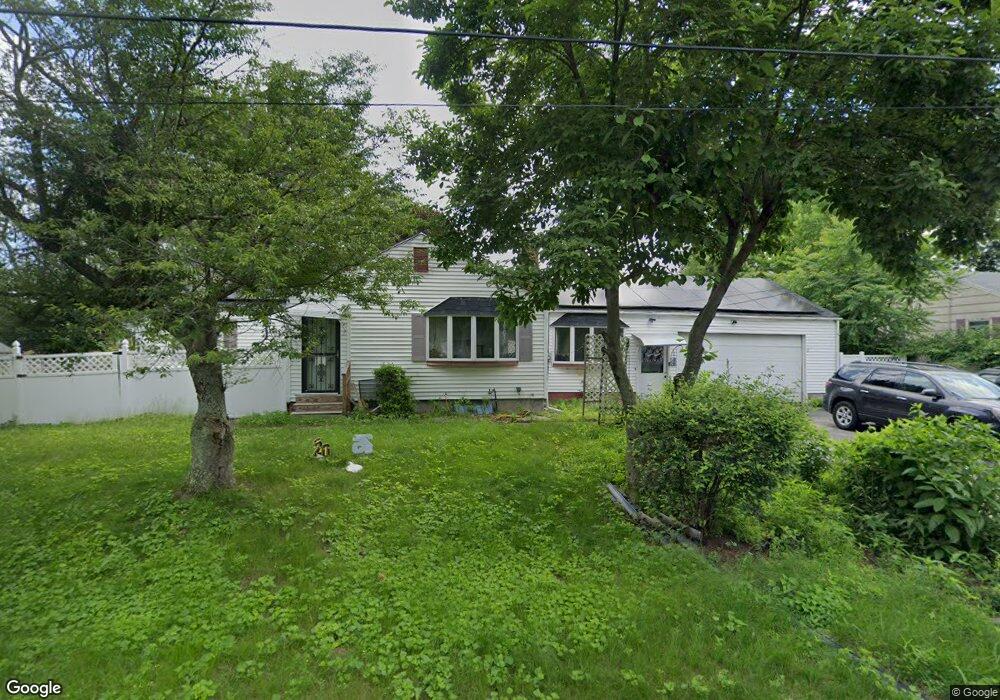
127 Bacon Rd Springfield, MA 01119
Sixteen Acres NeighborhoodEstimated Value: $284,000 - $324,000
3
Beds
1
Bath
1,184
Sq Ft
$259/Sq Ft
Est. Value
About This Home
This home is located at 127 Bacon Rd, Springfield, MA 01119 and is currently estimated at $306,391, approximately $258 per square foot. 127 Bacon Rd is a home located in Hampden County with nearby schools including Frank H. Freedman School, John J Duggan Middle, and Springfield High School of Science and Technology.
Ownership History
Date
Name
Owned For
Owner Type
Purchase Details
Closed on
May 17, 2007
Sold by
Mattis Hubert T
Bought by
Mattis Althea D and Mattis Sophia L
Current Estimated Value
Home Financials for this Owner
Home Financials are based on the most recent Mortgage that was taken out on this home.
Original Mortgage
$116,000
Outstanding Balance
$70,598
Interest Rate
6.18%
Mortgage Type
Purchase Money Mortgage
Estimated Equity
$235,793
Purchase Details
Closed on
Apr 10, 2003
Sold by
Mattis Dorothy D
Bought by
Mattis Dorothy D and Mattis Hubert T
Purchase Details
Closed on
Aug 21, 2000
Sold by
Charter Sukja
Bought by
Mattis Dorothy D
Home Financials for this Owner
Home Financials are based on the most recent Mortgage that was taken out on this home.
Original Mortgage
$67,000
Interest Rate
8.13%
Mortgage Type
Purchase Money Mortgage
Create a Home Valuation Report for This Property
The Home Valuation Report is an in-depth analysis detailing your home's value as well as a comparison with similar homes in the area
Home Values in the Area
Average Home Value in this Area
Purchase History
| Date | Buyer | Sale Price | Title Company |
|---|---|---|---|
| Mattis Althea D | $145,000 | -- | |
| Mattis Dorothy D | -- | -- | |
| Mattis Dorothy D | $117,000 | -- |
Source: Public Records
Mortgage History
| Date | Status | Borrower | Loan Amount |
|---|---|---|---|
| Open | Mattis Althea D | $116,000 | |
| Previous Owner | Mattis Dorothy D | $67,000 | |
| Previous Owner | Mattis Dorothy D | $50,000 | |
| Previous Owner | Mattis Dorothy D | $40,000 |
Source: Public Records
Tax History
| Year | Tax Paid | Tax Assessment Tax Assessment Total Assessment is a certain percentage of the fair market value that is determined by local assessors to be the total taxable value of land and additions on the property. | Land | Improvement |
|---|---|---|---|---|
| 2025 | $4,477 | $285,500 | $52,200 | $233,300 |
| 2024 | $4,495 | $279,900 | $52,200 | $227,700 |
| 2023 | $4,181 | $245,200 | $49,700 | $195,500 |
| 2022 | $3,461 | $183,900 | $49,700 | $134,200 |
| 2021 | $3,377 | $178,700 | $45,200 | $133,500 |
| 2020 | $3,314 | $169,700 | $45,200 | $124,500 |
| 2019 | $3,188 | $162,000 | $45,200 | $116,800 |
| 2018 | $3,017 | $153,300 | $45,200 | $108,100 |
| 2017 | $3,006 | $152,900 | $50,200 | $102,700 |
| 2016 | $2,855 | $145,200 | $50,200 | $95,000 |
| 2015 | $2,785 | $141,600 | $50,200 | $91,400 |
Source: Public Records
Map
Nearby Homes
Your Personal Tour Guide
Ask me questions while you tour the home.