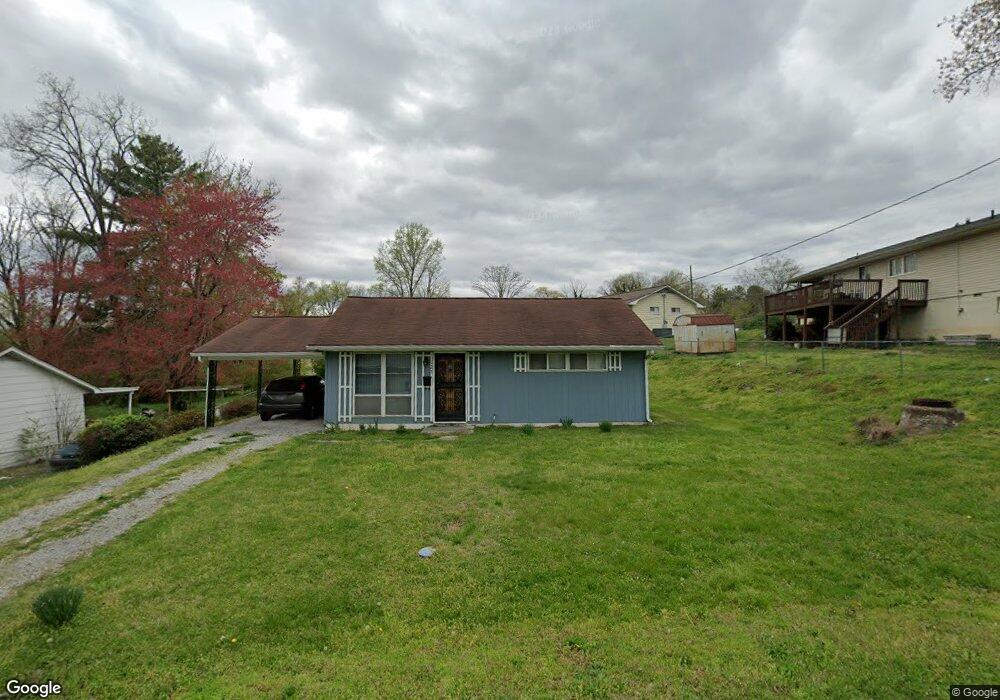
127 Beverly Cir Oak Ridge, TN 37830
Estimated Value: $150,452 - $220,000
--
Bed
1
Bath
768
Sq Ft
$250/Sq Ft
Est. Value
About This Home
This home is located at 127 Beverly Cir, Oak Ridge, TN 37830 and is currently estimated at $192,113, approximately $250 per square foot. 127 Beverly Cir is a home located in Anderson County with nearby schools including Linden Elementary, Robertsville Middle School, and Oak Ridge High School.
Ownership History
Date
Name
Owned For
Owner Type
Purchase Details
Closed on
Jul 11, 2005
Sold by
Lee Leighanne
Bought by
State Of Tennessee
Current Estimated Value
Purchase Details
Closed on
Oct 13, 2003
Sold by
Johnes Mary H and Johnes David L
Bought by
Lee Leighanne
Home Financials for this Owner
Home Financials are based on the most recent Mortgage that was taken out on this home.
Original Mortgage
$63,900
Interest Rate
6.16%
Purchase Details
Closed on
Jul 13, 1989
Bought by
Henderson Denise G
Purchase Details
Closed on
Jan 1, 1985
Bought by
Leffew Bill R & %Fidelity Fed S&L
Create a Home Valuation Report for This Property
The Home Valuation Report is an in-depth analysis detailing your home's value as well as a comparison with similar homes in the area
Home Values in the Area
Average Home Value in this Area
Purchase History
| Date | Buyer | Sale Price | Title Company |
|---|---|---|---|
| State Of Tennessee | -- | -- | |
| Lee Leighanne | $64,900 | -- | |
| Henderson Denise G | $37,400 | -- | |
| Leffew Bill R & %Fidelity Fed S&L | $27,000 | -- |
Source: Public Records
Mortgage History
| Date | Status | Borrower | Loan Amount |
|---|---|---|---|
| Previous Owner | Leffew Bill R & %Fidelity Fed S&L | $63,900 |
Source: Public Records
Tax History Compared to Growth
Tax History
| Year | Tax Paid | Tax Assessment Tax Assessment Total Assessment is a certain percentage of the fair market value that is determined by local assessors to be the total taxable value of land and additions on the property. | Land | Improvement |
|---|---|---|---|---|
| 2024 | $461 | $18,775 | $6,325 | $12,450 |
| 2023 | $461 | $18,775 | $0 | $0 |
| 2022 | $895 | $18,775 | $6,325 | $12,450 |
| 2021 | $895 | $18,775 | $6,325 | $12,450 |
| 2020 | $786 | $18,775 | $6,325 | $12,450 |
| 2019 | $804 | $15,300 | $5,275 | $10,025 |
| 2018 | $786 | $15,300 | $5,275 | $10,025 |
| 2017 | $783 | $15,300 | $5,275 | $10,025 |
| 2016 | $783 | $15,300 | $5,275 | $10,025 |
| 2015 | -- | $15,300 | $5,275 | $10,025 |
| 2014 | -- | $15,300 | $5,275 | $10,025 |
| 2013 | -- | $15,500 | $0 | $0 |
Source: Public Records
Map
Nearby Homes
- 212 Byron Ln
- 2210 Oak Ridge Turnpike
- 119 Briar Rd
- 206 Bunker Ln
- 105 W Melbourne Rd
- 23 Windhaven Ln
- 109 Mockingbird Ln
- 31 Windhaven Ln
- 104 Sanford Ln
- 657 Robertsville Rd
- 112 New Bedford Ln
- 101 Nathan Ln
- 106 Wood Ridge Ln
- 26 Lindale Ln
- 899 W Outer Dr
- 128 Sheridan Cir
- 101 Newport Dr
- 103 Neville Ln
- 961 W West Outer Dr
- 558560 W Outer Dr
- 125 Beverly Cir
- 117 W Bryn Mawr Cir
- 113 W Bryn Mawr Cir
- 119 W Bryn Mawr Cir
- 200 Butler Rd
- 204 Butler Rd
- 121 W Bryn Mawr Cir
- 116 W Bryn Mawr Cir
- 126 Beverly Cir
- 122 Beverly Cir
- 111 E Bryn Mawr Cir
- 120 W Bryn Mawr Cir
- 114 W Bryn Mawr Cir
- 120 Beverly Cir
- 122 W Bryn Mawr Cir
- 121 Beverly Cir
- 208 Butler Rd
- 107 E Bryn Mawr Cir
- 105 E Bryn Mawr Cir
- 109 E Bryn Mawr Cir