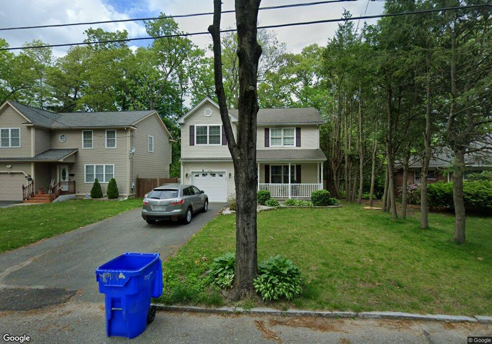
127 Carnarvon Cir Springfield, MA 01109
Upper Hill NeighborhoodEstimated Value: $318,000 - $393,000
3
Beds
3
Baths
1,530
Sq Ft
$239/Sq Ft
Est. Value
About This Home
This home is located at 127 Carnarvon Cir, Springfield, MA 01109 and is currently estimated at $365,824, approximately $239 per square foot. 127 Carnarvon Cir is a home located in Hampden County with nearby schools including Homer Street Elementary School, John J Duggan Middle, and Springfield High School of Science and Technology.
Ownership History
Date
Name
Owned For
Owner Type
Purchase Details
Closed on
Aug 22, 2014
Sold by
Willis Anthony T and Willis Anthony
Bought by
Fraser Monica E
Current Estimated Value
Home Financials for this Owner
Home Financials are based on the most recent Mortgage that was taken out on this home.
Original Mortgage
$178,825
Outstanding Balance
$135,120
Interest Rate
3.87%
Mortgage Type
FHA
Estimated Equity
$230,704
Purchase Details
Closed on
Mar 13, 2009
Sold by
Creative Building Inc
Bought by
Willis Anthony T
Home Financials for this Owner
Home Financials are based on the most recent Mortgage that was taken out on this home.
Original Mortgage
$140,000
Interest Rate
5.18%
Mortgage Type
Purchase Money Mortgage
Create a Home Valuation Report for This Property
The Home Valuation Report is an in-depth analysis detailing your home's value as well as a comparison with similar homes in the area
Home Values in the Area
Average Home Value in this Area
Purchase History
| Date | Buyer | Sale Price | Title Company |
|---|---|---|---|
| Fraser Monica E | $185,000 | -- | |
| Willis Anthony T | $175,000 | -- |
Source: Public Records
Mortgage History
| Date | Status | Borrower | Loan Amount |
|---|---|---|---|
| Open | Fraser Monica E | $178,825 | |
| Previous Owner | Willis Anthony T | $140,000 |
Source: Public Records
Tax History
| Year | Tax Paid | Tax Assessment Tax Assessment Total Assessment is a certain percentage of the fair market value that is determined by local assessors to be the total taxable value of land and additions on the property. | Land | Improvement |
|---|---|---|---|---|
| 2025 | $5,395 | $344,100 | $40,500 | $303,600 |
| 2024 | $5,303 | $330,200 | $33,700 | $296,500 |
| 2023 | $5,436 | $318,800 | $30,700 | $288,100 |
| 2022 | $5,362 | $284,900 | $28,700 | $256,200 |
| 2021 | $4,931 | $260,900 | $26,100 | $234,800 |
| 2020 | $4,677 | $239,500 | $26,100 | $213,400 |
| 2019 | $4,432 | $225,200 | $26,100 | $199,100 |
| 2018 | $4,357 | $221,400 | $26,100 | $195,300 |
| 2017 | $4,229 | $215,100 | $24,100 | $191,000 |
| 2016 | $3,769 | $191,700 | $24,100 | $167,600 |
| 2015 | $3,541 | $180,000 | $15,100 | $164,900 |
Source: Public Records
Map
Nearby Homes
- 11 Ina St
- 87 Fenwick St
- 111 Marlborough St
- 236 Pondview Dr
- 89 Bristol St
- 135-137 Suffolk St
- 62-64 Bristol St
- 31-33 Suffolk St
- 124-126 Westford Cir
- 0 NS (24) Alden St
- 283 Wilbraham Rd
- 22 Amanda St
- 44 Amanda St
- 48-50 Dresden St
- 25 Dresden St
- 54 S Shore Dr
- 21 Westford Cir
- 19 Westford Ave
- 189 Northampton Ave
- 118 Pilgrim Rd
- 127 Carnavon Cir
- 131 Carnavon Cir
- 137 Carnavon Cir
- 150 Carnavon Cir
- 118 Carnarvon Cir
- 118 Carnavon Cir
- 28 Strathmore St
- 37 Bonnyview St Unit 39
- 45 Bonnyview St
- 147 Carnavon Cir
- 31 Bonnyview St Unit 33
- 154 Carnavon Cir
- 55 Bonnyview St
- 20 Strathmore St
- 105 Carnavon Cir
- 39 Strathmore St
- 11 Bonnyview St Unit 13
- 155 Carnavon Cir
- 31 Strathmore St
- 65 Bonnyview St
Your Personal Tour Guide
Ask me questions while you tour the home.