127 Carter Cir Warner Robins, GA 31093
Estimated Value: $134,503 - $160,000
3
Beds
1
Bath
1,324
Sq Ft
$108/Sq Ft
Est. Value
About This Home
This home is located at 127 Carter Cir, Warner Robins, GA 31093 and is currently estimated at $142,376, approximately $107 per square foot. 127 Carter Cir is a home located in Houston County with nearby schools including Westside Elementary School, Northside Middle School, and Northside High School.
Ownership History
Date
Name
Owned For
Owner Type
Purchase Details
Closed on
Oct 26, 1993
Sold by
Riedel Robert R and Mary Jane
Bought by
Berry Bernice C
Current Estimated Value
Purchase Details
Closed on
Jun 1, 1976
Sold by
Mejia Ysmael and Mejia Barbara C
Bought by
Riedel Robert R and Mary Jane
Purchase Details
Closed on
Feb 8, 1971
Sold by
Hall James E
Bought by
Mejia Ysmael and Mejia Barbara C
Purchase Details
Closed on
Mar 27, 1969
Sold by
Cooper John L
Bought by
Hall James E
Purchase Details
Closed on
Jun 26, 1957
Bought by
Cooper John L
Create a Home Valuation Report for This Property
The Home Valuation Report is an in-depth analysis detailing your home's value as well as a comparison with similar homes in the area
Home Values in the Area
Average Home Value in this Area
Purchase History
| Date | Buyer | Sale Price | Title Company |
|---|---|---|---|
| Berry Bernice C | -- | -- | |
| Riedel Robert R | -- | -- | |
| Mejia Ysmael | -- | -- | |
| Hall James E | -- | -- | |
| Cooper John L | -- | -- |
Source: Public Records
Tax History Compared to Growth
Tax History
| Year | Tax Paid | Tax Assessment Tax Assessment Total Assessment is a certain percentage of the fair market value that is determined by local assessors to be the total taxable value of land and additions on the property. | Land | Improvement |
|---|---|---|---|---|
| 2024 | $882 | $36,880 | $4,960 | $31,920 |
| 2023 | $793 | $32,800 | $5,600 | $27,200 |
| 2022 | $745 | $30,840 | $5,320 | $25,520 |
| 2021 | $493 | $29,360 | $5,320 | $24,040 |
| 2020 | $494 | $29,320 | $5,320 | $24,000 |
| 2019 | $494 | $29,320 | $5,320 | $24,000 |
| 2018 | $494 | $29,320 | $5,320 | $24,000 |
| 2017 | $494 | $29,320 | $5,320 | $24,000 |
| 2016 | $495 | $29,320 | $5,320 | $24,000 |
| 2015 | $495 | $29,320 | $5,320 | $24,000 |
| 2014 | -- | $29,320 | $5,320 | $24,000 |
| 2013 | -- | $31,680 | $5,320 | $26,360 |
Source: Public Records
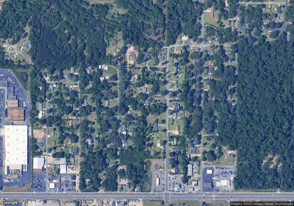
Map
Nearby Homes
- 209 Knodishall Dr
- 109 Fisher St
- 129 Maryjay Dr
- 111 Hawthorne Rd
- 501 Pinecrest Dr
- 301 Millside Dr
- 112 Peacock Dr
- 110 Westcliff Cir Unit C
- 106 Westcliff Cir
- 221 Gilchrist Dr
- 725 B East Side Dr
- 103 Westcliff Cir Unit A
- 103 Westcliff Cir Unit A
- 303 Pinecrest Dr
- 141 Peacock Dr
- 318 Somerset Dr
- 86 Westcliff Cir
- 102 Westcliff Center St Unit D
- 110 Westcliff Center St
- 115 Wray St
- 129 Carter Cir
- 0 Carter Cir Unit LOT 34 OAKVIEW 139/5
- 0 Carter Cir Unit 7250382
- 0 Carter Cir Unit 8755617
- 0 Carter Cir Unit 8461102
- 0 Carter Cir Unit 8579206
- 0 Carter Cir Unit 3136723
- 38.402ac Carter Cir Unit 139
- 0 Carter Cir
- 165 Carter Cir
- 120 Carter Cir
- 121 Carter Cir
- 121 Carter Cir Unit 123 Carter Circle
- 133 Carter Cir
- 167 Carter Cir
- 124 Carter Cir
- 169 Carter Cir
- 126 Carter Cir
- 155 Carter Cir
- 122 Carter Cir