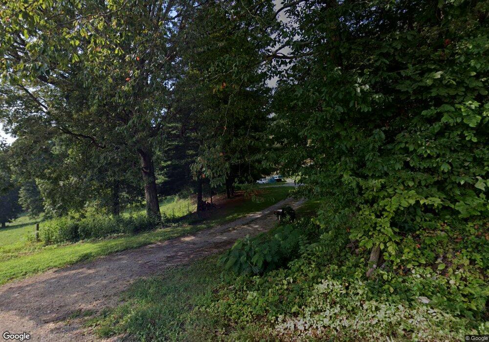
127 Cox Rd Sharps Chapel, TN 37866
Chuck Swan NeighborhoodEstimated Value: $305,000 - $453,000
3
Beds
2
Baths
2,112
Sq Ft
$183/Sq Ft
Est. Value
About This Home
This home is located at 127 Cox Rd, Sharps Chapel, TN 37866 and is currently estimated at $386,441, approximately $182 per square foot. 127 Cox Rd is a home located in Union County with nearby schools including Sharps Chapel Elementary School, H Maynard Middle School, and Union County High School.
Ownership History
Date
Name
Owned For
Owner Type
Purchase Details
Closed on
Nov 8, 2013
Sold by
Arnold George D
Bought by
Maynard Tonya
Current Estimated Value
Home Financials for this Owner
Home Financials are based on the most recent Mortgage that was taken out on this home.
Original Mortgage
$147,283
Outstanding Balance
$108,159
Interest Rate
3.85%
Mortgage Type
FHA
Estimated Equity
$278,282
Purchase Details
Closed on
May 3, 2005
Sold by
Brantley Harold H
Bought by
Arnold George D
Home Financials for this Owner
Home Financials are based on the most recent Mortgage that was taken out on this home.
Original Mortgage
$150,000
Interest Rate
5.99%
Mortgage Type
Cash
Purchase Details
Closed on
May 15, 1980
Bought by
Brantley Harold H
Create a Home Valuation Report for This Property
The Home Valuation Report is an in-depth analysis detailing your home's value as well as a comparison with similar homes in the area
Home Values in the Area
Average Home Value in this Area
Purchase History
| Date | Buyer | Sale Price | Title Company |
|---|---|---|---|
| Maynard Tonya | -- | -- | |
| Maynard Tonya | -- | -- | |
| Maynard Tonya | $150,000 | -- | |
| Maynard Tonya | $150,000 | -- | |
| Arnold George D | $187,500 | -- | |
| Arnold George D | $187,500 | -- | |
| Brantley Harold H | -- | -- | |
| Brantley Harold H | -- | -- |
Source: Public Records
Mortgage History
| Date | Status | Borrower | Loan Amount |
|---|---|---|---|
| Open | Maynard Tonya | $147,283 | |
| Closed | Maynard Tonya | $147,283 | |
| Previous Owner | Brantley Harold H | $150,000 | |
| Previous Owner | Brantley Harold H | $18,750 |
Source: Public Records
Tax History Compared to Growth
Tax History
| Year | Tax Paid | Tax Assessment Tax Assessment Total Assessment is a certain percentage of the fair market value that is determined by local assessors to be the total taxable value of land and additions on the property. | Land | Improvement |
|---|---|---|---|---|
| 2024 | $778 | $40,925 | $5,125 | $35,800 |
| 2023 | $0 | $40,925 | $5,125 | $35,800 |
| 2022 | $651 | $40,925 | $5,125 | $35,800 |
| 2021 | $559 | $26,125 | $3,550 | $22,575 |
| 2020 | $594 | $27,775 | $3,550 | $24,225 |
| 2019 | $594 | $27,775 | $3,550 | $24,225 |
| 2018 | $594 | $27,775 | $3,550 | $24,225 |
| 2017 | $594 | $27,775 | $3,550 | $24,225 |
| 2016 | $657 | $30,275 | $9,250 | $21,025 |
| 2015 | $657 | $30,275 | $9,250 | $21,025 |
| 2014 | $542 | $30,285 | $0 | $0 |
Source: Public Records
Map
Nearby Homes
- 160 Lost Creek Rd
- 98 Pinnacle Pointe Way
- 2670 Sharps Chapel Rd
- 181 Twilight Blvd
- 882 Walker Rd
- 179 Twilight Blvd
- 262 Twilight Blvd
- 0 Twilight Blvd
- 210 Edith Ln
- 0 Lot 66 Windy Sails Ln Unit 1295496
- 44 Fishers Loop
- Lot 55 Fishers Loop
- 568 Russell Brothers Rd
- 326 Russell Brothers Rd
- 415 Russell Brothers Rd
- 541 Russell Brothers Rd
- 6 Walker Rd
- 7 Walker Rd
- Lot #7 Walker Rd
- Lot #6 Walker Rd
